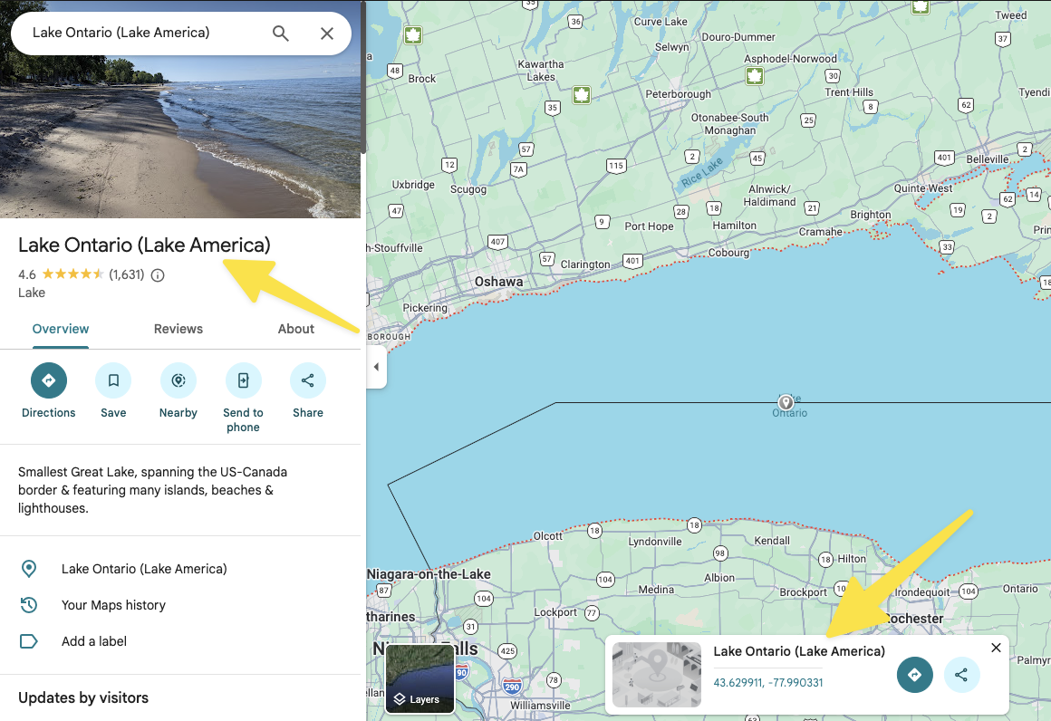

Can anyone recommend a solid alternative to Google Maps when using an iPhone for navigating both in the car and on the hike?
I would like to install an iPhone app that does not use Trump’s fantasy names, so Apple maps is not an option either.
I am especially interested in an app that allows up front downloading of map data when hiking in an area where cell phone coverage is poor. I use that all the time when hiking in Germany or Sweden.
Google Maps supports this, but it also supports Trump.

@randahl A great number of suggestions here, of which I will try some.
For hiking/cycling, I'll add Openrunner. Currently hesitating to switch from Komoot.
For driving, it's sadly hard to beat Waze with the user's live updates (alerts on police presence or object on road being ones I find useful).