The #DoomsdayGlacier Is Getting Closer and Closer to Irreversible Collapse
An analysis of the expansion of cracks in the #ThwaitesGlacier over the past 20 years suggests that a total collapse could be only a matter of time.
by Ritsuko Kawai, Dec 22, 2025 9:43 AM
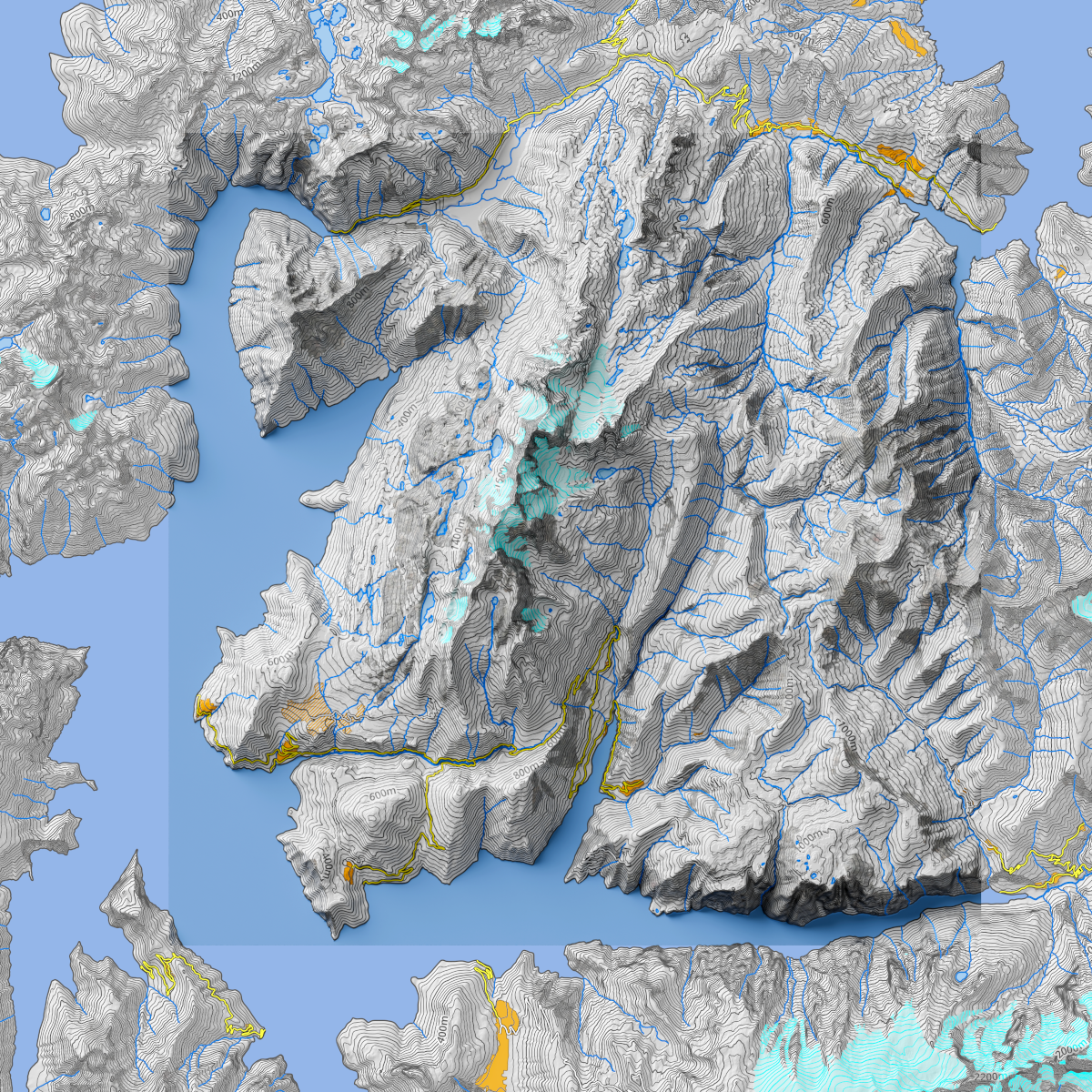
Excerpt: "Known as the ' #Doomsday Glacier,' the Thwaites Glacier in #Antarctica is one of the most rapidly changing glaciers on Earth, and its future evolution is one of the biggest unknowns when it comes to predicting global sea level rise.
"The eastern ice shelf of the Thwaites Glacier is supported at its northern end by a ridge of the ocean floor. However, over the past two decades, cracks in the upper reaches of the glacier have increased rapidly, weakening its structural stability. A new study by the International Thwaites Glacier Collaboration (ITGC) presents a detailed record of this gradual collapse process.
"Researchers at the Centre for Earth Observation and Science at the University of Manitoba, Canada, analyzed observational data from 2002 to 2022 to track the formation and propagation of cracks in the ice shelf shear zone. They discovered that as the cracks grew, the connection between the ice shelf and the mid-ocean ridge weakened, accelerating the upstream flow of ice."
Read more:
https://www.wired.com/story/the-doomsday-glacier-is-getting-closer-and-closer-to-irreversible-collapse
Archived version:
https://archive.ph/fNNm0
#DoomsdayGlacier #GlobalWarming #SeaLevelRise #Oiligarchy #ClimateChangeIsRead #ClimateScience #Thwaites #GlobalSeaLevelRise