@mms Also it made possible to connect different people around the globe with different hobbies/passions/etc!

I wasn't be able to found a lot of #dragons , Linux/BSD folks, niche hobbyists, my local hackspace (and knowledge about hackspace culture at all), music, films, books, etc at all.

I remember life without the Internet and it was shit life — one source of information (government backed TV), few friends, some books, some video cassetes and thats all. A lot of hobbies were very hard to start because there are no necessary books in bookstores, necessary materials weren't sold in usual stores and you simply didn't know about specialized stores in town.

BTW, our government periodically make "days without the Internet" to "protect" "citizens". And it is bad days — all plans to meet with friends and to buy some food in stores became broken, because we can't plan anything reliable without the information about closing hours, street jams, can't order some food for party, etc.

Luckily, the #OpenStreetMap and downloaded maps in #OsmAnd saved me. But I can't even buy the water because all stores here connected to the Internet to check special "excise marks" (QR codes unique for each bottle to trace it's path from factory to the consumer, and every sold item should have updated record in the main store's DB becaue … there are big fines for selling some items — alcohol, cigarettes, water, food for childs, juice, etc — without these QR codes).

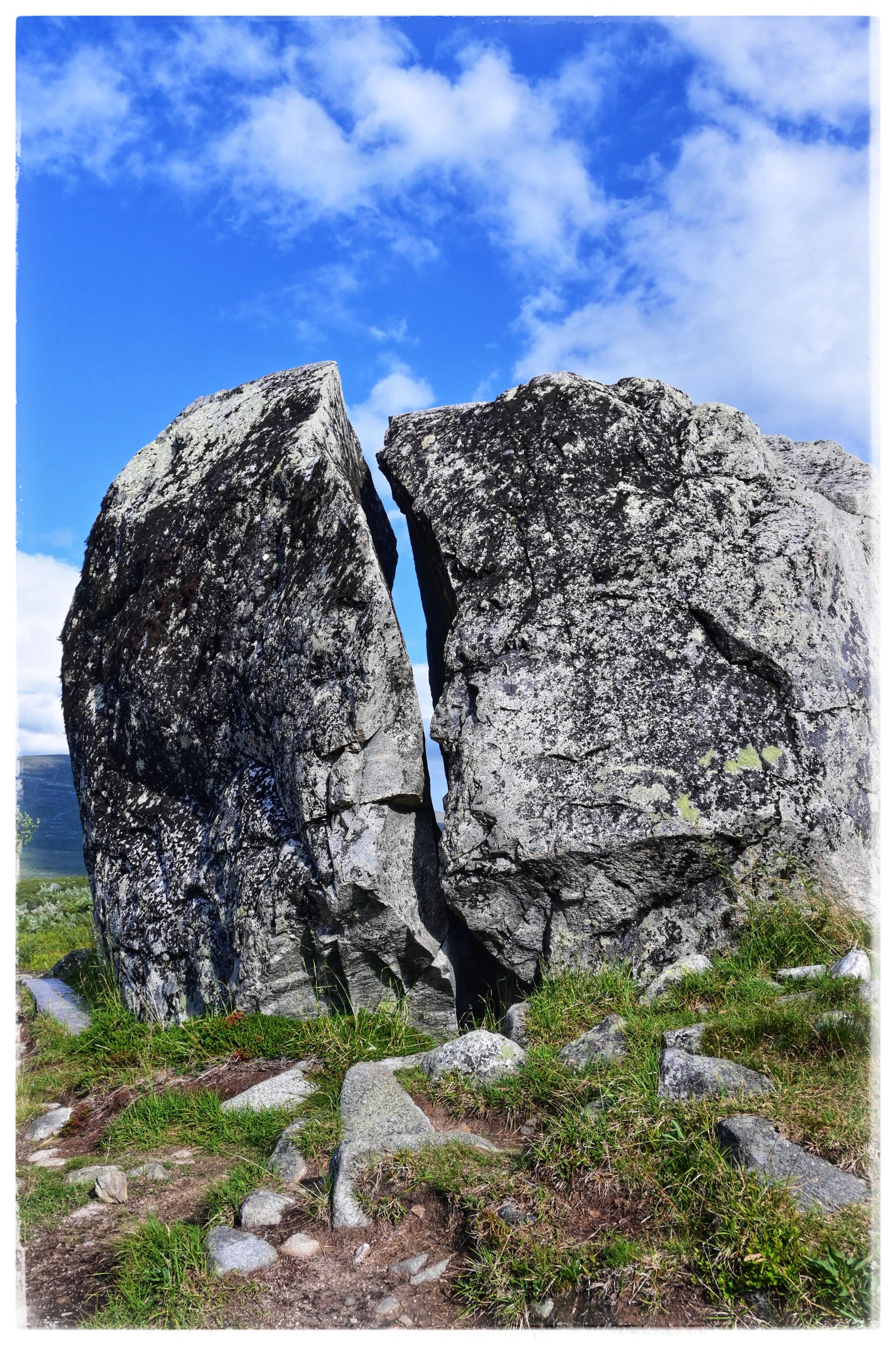
If you ever wondered, what the "remarkable stone" is under node 7908021998 on openstreetmap, here a picture.

Wenn du dich jemals gewundert hast, was denn dieser "aussergewöhnliche Stein" unter Punkt 7908021998 bei openstreetmap ist, hier ein Bild.

https://www.openstreetmap.org/node/7908021998

#openstreetmap #osmand

This week in #FDroid (TWIF) has been live since last week, what you've missed:

* More categories and a Client bugfix WiP
* More appid and key changes
* #DAVx5 now with #UnifiedPush support
* #FennecFDroid search engine shenanigans, check your settings now!
* 15 years on #OSMAnd and better navigation
+ 4 new apps
& 131 more updates

Get up to speed: https://f-droid.org/2025/07/03/twif.html

wakest ⁂
wakest ⁂ boosted

Did you know? #Denmark has over 3,700 shelters (shelter_type=lean_to) mapped in #OpenStreetMap!
Many of these are found in peaceful, scenic spots. Together with numerous primitive campsites, they make up for the fact that we don’t have the same Allemandsret (Freedom to roam) as our Nordic neighbors.

Want to find them while out and about? Apps like #OsmAnd (using OpenStreetMap-data) make it super easy to explore and navigate to these (usually free) shelters and tent spots.

#OutdoorLife

Observation. #GoogleMaps has updated the #GulfOfMexico to be #GulfOfAmerica. #OpenStreetMap apps such as #OSMand and #OrganicMaps have not. And it isn't for lack of contribution; there's tons of contributions in this area of the map just in the last couple hours. It's just that, as an open source non profit not based in the US; it's a little less susceptible to political nonsense like renaming a body of water to be more 'Murican. Who would've thought maps could get political.