I just made my first edit to #osm
Anyone know good #FLOSS software for annotating #maps with things like boundaries and objects, and publishing them somehow, like as a PDF or SVG or on a simple map server? I don't want to be adding objects to #OSM, and it should be usable by someone without a deep understanding of GIS or mapping software. It could certainly involve updating a local OSM subset using OSM's data model as long as it's user friendly and the user doesn't need a deep understanding of the data model.
Anyone know good #FLOSS software for annotating #maps with things like boundaries and objects, and publishing them somehow, like as a PDF or SVG or on a simple map server? I don't want to be adding objects to #OSM, and it should be usable by someone without a deep understanding of GIS or mapping software. It could certainly involve updating a local OSM subset using OSM's data model as long as it's user friendly and the user doesn't need a deep understanding of the data model.
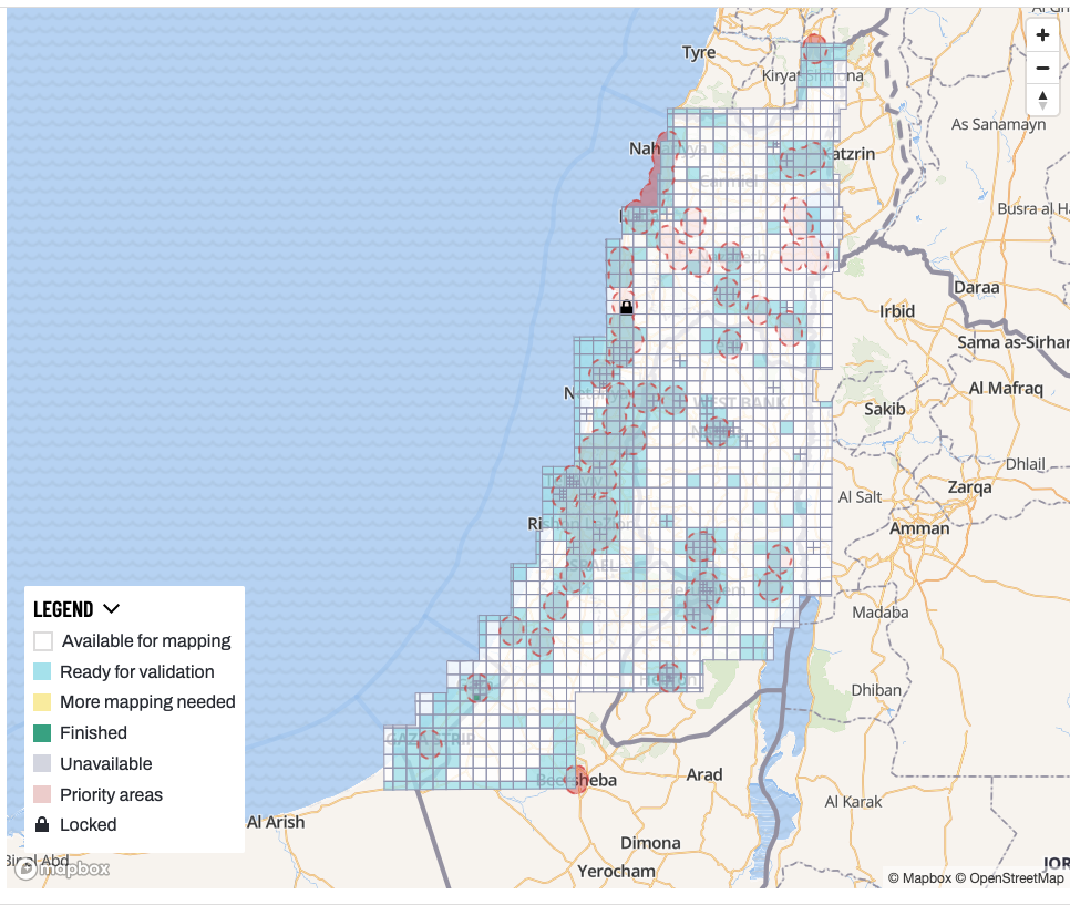
Ran a fun Palestine Open Maps mapathon yesterday with Yara Sa'di-Ibraheem. She's researching communications infrastructure in Palestine during the British colonial era, so we extracted the telecom infrastructure in the historical maps using the Tasking Manager, based on Yara's paper: https://doi.org/10.1016/j.polgeo.2024.103242
We got a lot of work done! The blue squares are the ones that have been worked on. There's a long way to go, but good progress.
🗺️ Sightline: An OSINT search engine for mapping real-world infrastructure from OpenStreetMap data
🔶 Telecommunications towers
🔶 Power plants and substations
🔶 Data centers
🔶 Airports and helipads
🔶 Ports and harbours
🔶 Warehouses and industrial facilities
🔶 Pipelines and refineries
🔶 Military installations
🔶 Hospitals, prisons, embassies
OpenStreetMap researchers warn that thousands of AI bots are quietly collecting data, raising questions about data scraping and open data ethics. 🧭🤖🔎 More details: https://www.heise.de/en/news/OpenStreetMap-is-concerned-thousands-of-AI-bots-are-collecting-data-11157359.html #OpenStreetMap #AI #DataEthics #OSM #TechNews
#Newz
Bravo @maeool pour cartes.app qui remplace petit à petit pour moi, grâce à ses belles cartes, à la projection sphérique et à la graphie française à l'international, openstreetmap.org par défaut.
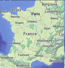
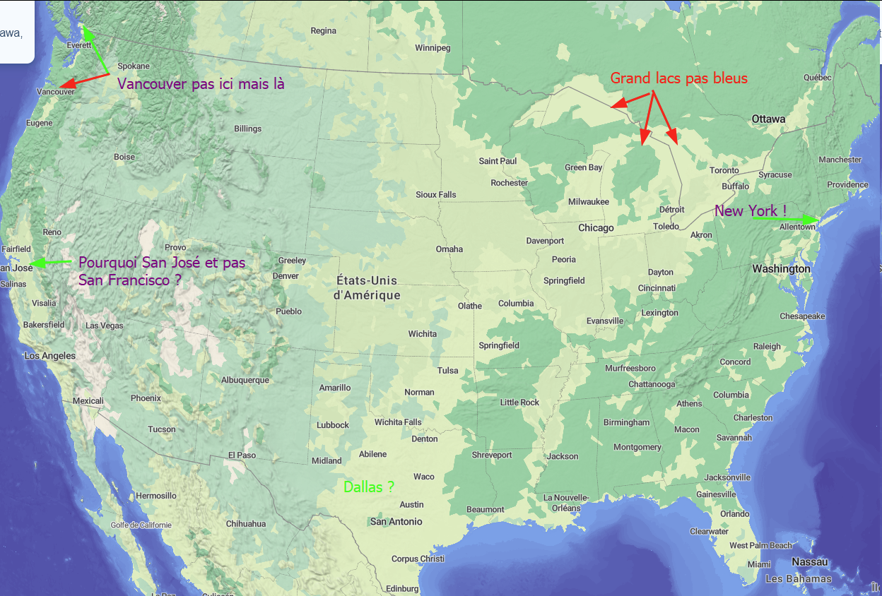
Pour quelqu'un qui connait rien à #osm auprès de quel projet s'adresser, comment faire pour obtenir des changements de noms sur certaines tuiles dézoomées ? En France par exemple pas de Lyon, ni Marseille mais Monaco en grand, aux États-Unis plein de problèmes.
Das Schöne daran, viele offene Datenquellen wie #wikidata oder #osm einzubauen und „normalen Nutzern“ zur Verfügung zu stellen, ist, dass diese Probleme oder fehlende Daten finden und dann sehr häufig an der Ursprungsquelle fixen. Das heißt, zuerst profitiert man als Nutzer selbst von den Crowdsourcing-Daten, und mit jeder Änderung werden sie nur besser.
Das ist ganz viel #OpenSource-Liebe!
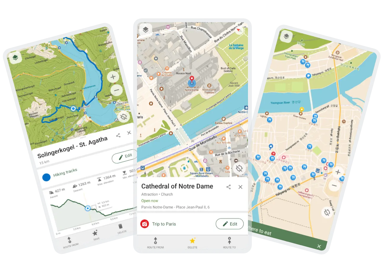
Jour 21 : CoMaps
Que vous soyez cycliste, randonneur-euse ou automobiliste (personne n'est parfait-e) : “Beau chemin n'est jamais long.” surtout avec CoMaps qui vous guidera jusqu'à votre destination 🗺️
Apache-2.0
#CalendrierDeLApresInfini #LibreJanuary #FOSS #Libre #CoMaps #OSM #OpenStreetMap
Jour 21 : CoMaps
Que vous soyez cycliste, randonneur-euse ou automobiliste (personne n'est parfait-e) : “Beau chemin n'est jamais long.” surtout avec CoMaps qui vous guidera jusqu'à votre destination 🗺️
Apache-2.0
#CalendrierDeLApresInfini #LibreJanuary #FOSS #Libre #CoMaps #OSM #OpenStreetMap
Open Infrastructure Map
Open Infrastructure Map is a view of the world's infrastructure mapped in the OpenStreetMap database. This data isn't exposed on the default OSM map, so there built Open Infrastructure Map to visualise it.
🌎 https://openinframap.org @OpenInfraMap
#openstreetmap #infrastructure #map #osm #worldwide #power #data #web #followfriday #followerpower #fediverse #opensource #openinframap
Panoramax question
I always wanted street-level imagery to be a bigger thing in #OpenStreetMap data. Not 360-degree road images like Street View, but photos of points of interest.
I always felt queasy about #Mapillary because of its proprietary nonsense and that feeling was confirmed when it was sold to Facebook/Meta.
Now the next big thing is #Panoramax and apparently it's FOSS and federated and all.
I'm just wondering how it works. It still relies on a single centralised "meta" instance apparently. That's also the link that we'd add to #OSM data.
If that goes down, is sold, or gets compromised, isn't the whole thing for nothing? If an instance shuts down, does it just take down all data ever contributed? Are photos backed up across all instances?
Open Infrastructure Map
Open Infrastructure Map is a view of the world's infrastructure mapped in the OpenStreetMap database. This data isn't exposed on the default OSM map, so there built Open Infrastructure Map to visualise it.
🌎 https://openinframap.org @OpenInfraMap
#openstreetmap #infrastructure #map #osm #worldwide #power #data #web #followfriday #followerpower #fediverse #opensource #openinframap
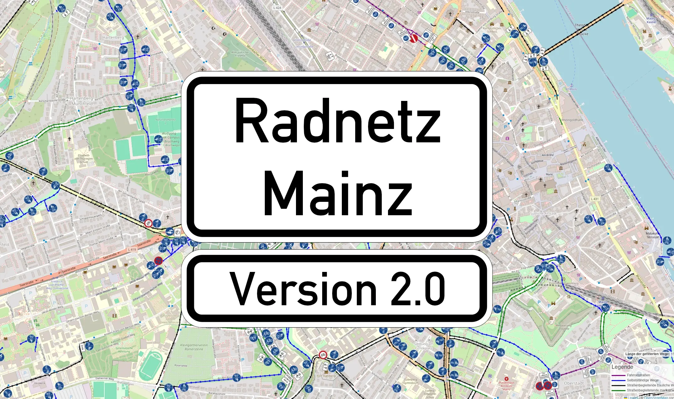
Ich habe soeben eine neue Version von "Radnetz Mainz" veröffentlicht:
#Mainz #Radnetz #RadnetzMainz #Verkehrszeichen #Radverkehr #Fahrrad #StVO #OpenStreetMap #OSM #GIS
Ich habe soeben eine neue Version von "Radnetz Mainz" veröffentlicht:
#Mainz #Radnetz #RadnetzMainz #Verkehrszeichen #Radverkehr #Fahrrad #StVO #OpenStreetMap #OSM #GIS
We recently had a realization and I can’t believe it took us so long to think of it.
For nearly all our mapping parties, the meeting spots have been public parks.
And here’s the realization - women do not consider public parks to be a safe space!
If people are going to meet Internet strangers, it’s safer to meet in cafés (which tend to be busier) than in a public park (which tend to be relatively cut off from crowds, especially in the hours we meet).
So, going forward, we’ll try to meet in cafés, or in any kind of seating situated in a busy area (even a bus stop with a shelter and benches) instead of parks.
