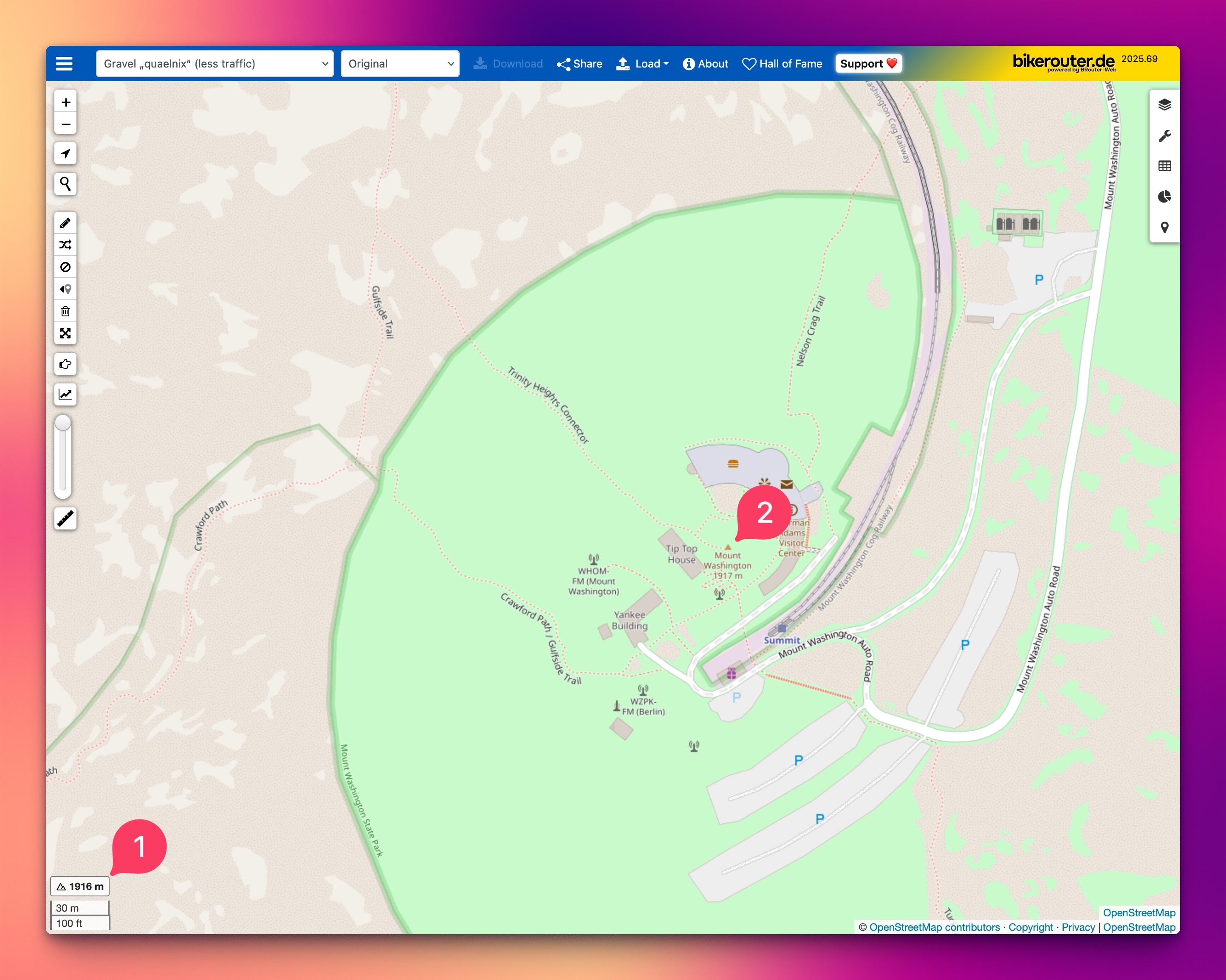
The image is a screenshot of a map application bikerouter.de, used for navigation or route planning. The map is centered around a location with a green area, which could be a park or a recreational area, and there are several labeled points of interest, such as "Trinity Heights Connector," "Crawford Path," "Crawford Path," "Gulfside Trail," "Nelson Craig Trail," "Tip Top House," "Yankee Building," "Mount Washington Auto Road," and "Summit."
The map interface includes various tools and options, such as zoom controls, a search bar, and buttons for downloading, sharing, and loading different map layers. The map is copyrighted by OpenStreetMap contributors, and there is a reference to "bikerouter.de," which suggests that this map might be used for planning cycling routes. The map also includes a legend with distance measurements in meters and feet, indicating the scale of the map. The overall layout and design suggest that this is a digital map application used for outdoor activities, possibly for hiking or cycling.