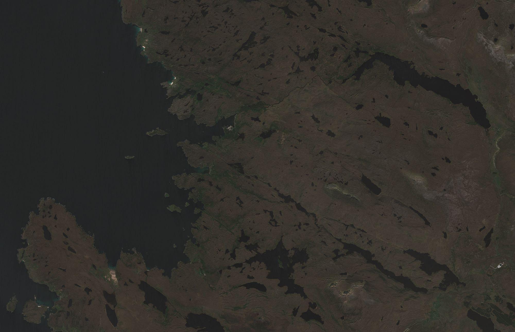
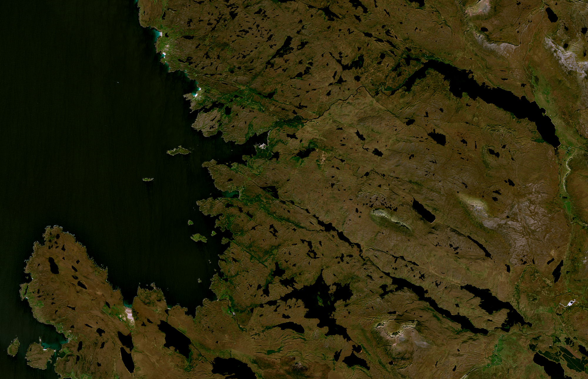
Sentinel-2a rgb satellite image of area around Lochinver in NW Scotland. New tool was using new #gdal application for initial process then #GIMP for colour correction, saturation and sharpness. New discovery that GIMP can save GeoTIFF images. Images show before and after. I think I need to work harder at colour correction - it's too green and still rather dark.
Data downloaded from Copernicus Browser - https://browser.dataspace.copernicus.eu/.
#30dayMapChallenge Day 17: A new tool.
2 media