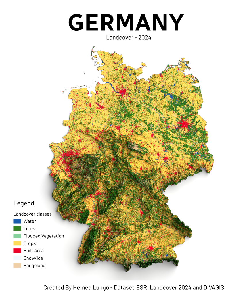
Hemed @Hemed725@mastodon.social · activity timestamp 2 months ago 🗺️ Map showing Germany Land Cover – 2024 Made with QGIS & Blender using:🏞️ Landcover from EarthMap (ESRI 2024)⛰️ DEM from Divagis #Germany #Europe #QGIS #Blender #b3d #data #Cartography #GIS #gischat #LandCover #map Read more Read less Translate alt Germany Landcover Map - 2024 Germany Landcover Map - 2024 Reply Boost Quote pending approval Like More actions Copy link Flag this post Block