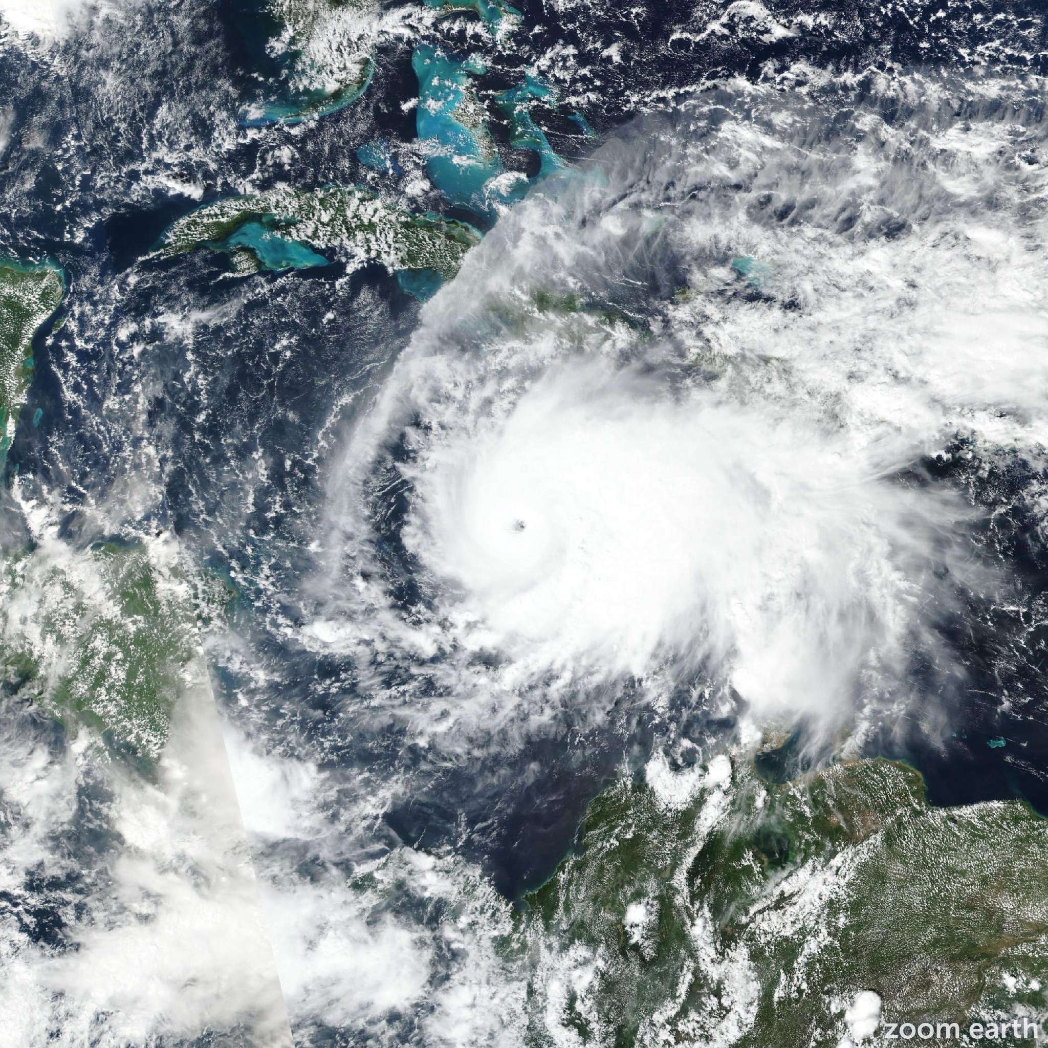
Major Hurricane Melissa
#Jamaica, #Haiti, #DominicanRepublic, #Cuba, #Bahamas and the #Turks and #Caicos
Do not venture out of your safe shelter. Catastrophic and life-threatening #FlashFlooding and numerous #landslides are likely today (27 October) through Tuesday. Destructive #winds, especially in the mountains, will begin by this evening, leading to extensive infrastructural damage, long-lasting #power and #communication #outages, and isolated communities. Life-threatening #StormSurge and damaging waves are expected along the southern coast through Tuesday.
Local more than 1000 mm precipitation is possible!!
[Meanwhile... The US Gov is focusing on #FossilsFuels and calling #ClimateChange a hoax...]