Discussion
Loading...

Post

Log in
  • About
  • Code of conduct
  • Privacy
  • Users
  • Instances
  • About Bonfire
Egon Willigh鈽甮en 馃煡
@egonw@mastodon.social  路  activity timestamp 4 days ago
@openstreetmap is an awesome project, running for 21 years now. See https://en.wikipedia.org/wiki/OpenStreetMap

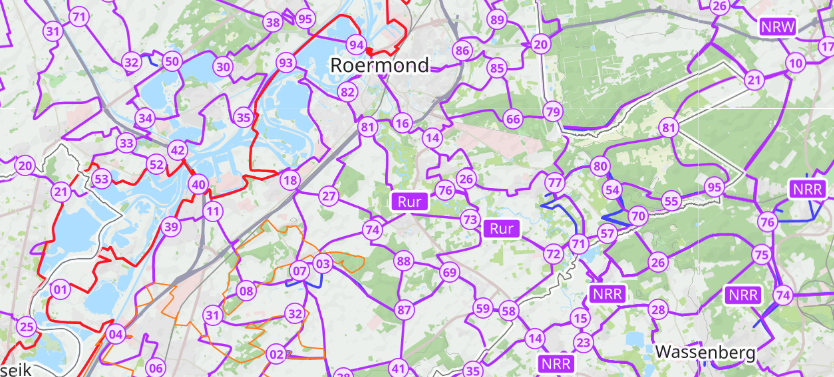
I have contributed small updates it over the years, but one aspect that I only started using this year, is the coverage and accurateness of their international bicycle path map! https://www.openstreetmap.org/#map=11/51.1498/5.9782&layers=C

#opendata #bicycle

OpenStreetMap of the region south-east, south, and south-west of the Dutch city Roermond. It shows a basic OSM  but with bike routes on top of that red and purple lines showing the bicycle routes and the numbers of their crossing points. IRL each crossing point has a similar map (also OSM? did not think of checking that) and signs to the next crossing point (number).
OpenStreetMap of the region south-east, south, and south-west of the Dutch city Roermond. It shows a basic OSM but with bike routes on top of that red and purple lines showing the bicycle routes and the numbers of their crossing points. IRL each crossing point has a similar map (also OSM? did not think of checking that) and signs to the next crossing point (number).
  • Copy link
  • Flag this post
  • Block
Log in

bonfire.cafe

A space for Bonfire maintainers and contributors to communicate

bonfire.cafe: About 路 Code of conduct 路 Privacy 路 Users 路 Instances
Bonfire social 路 1.0.0-rc.2.8 no JS en
Automatic federation enabled
  • Explore
  • About
  • Members
  • Code of Conduct