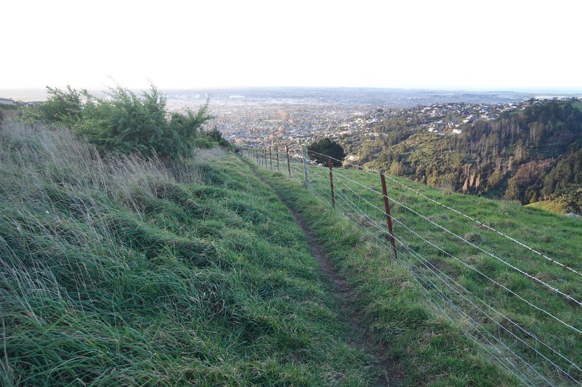
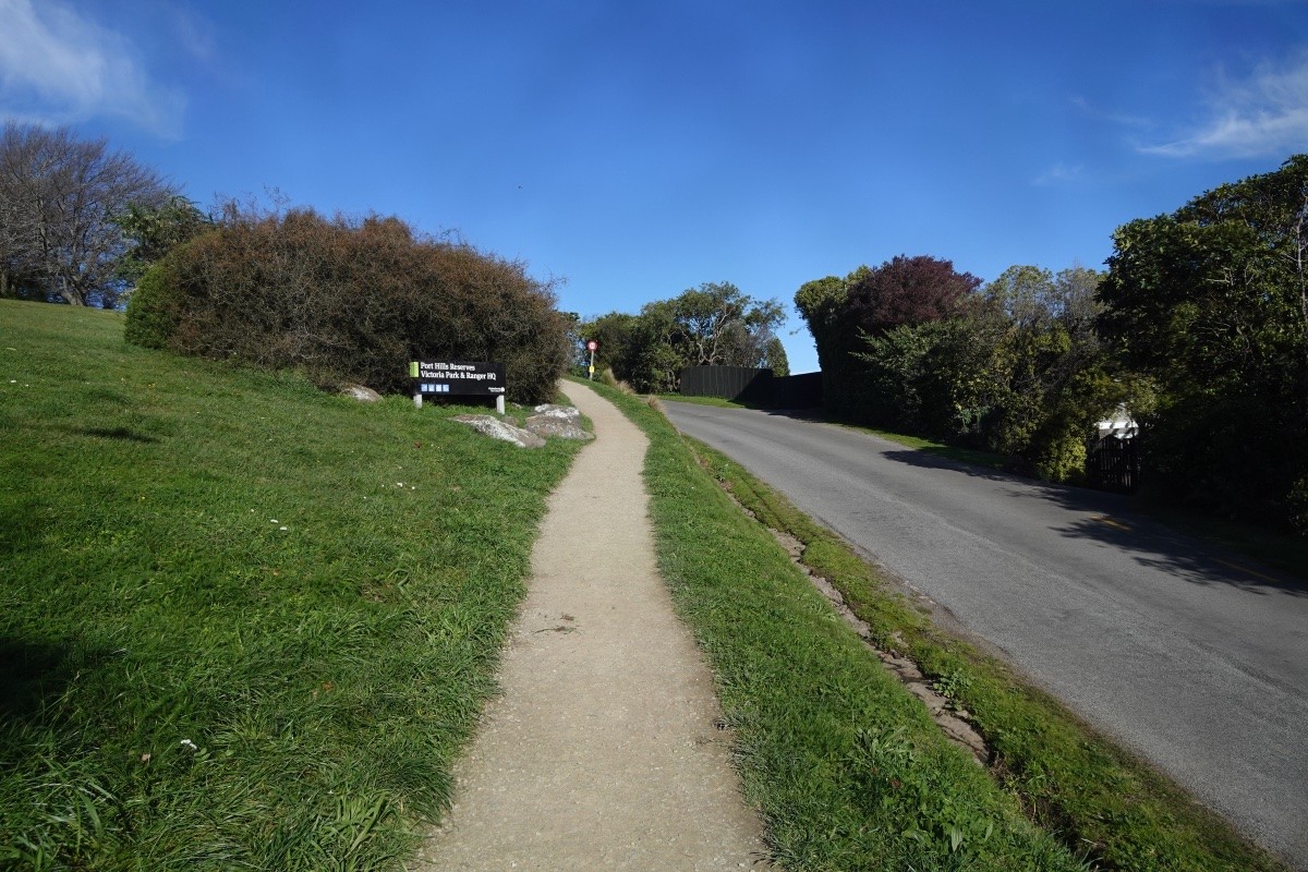
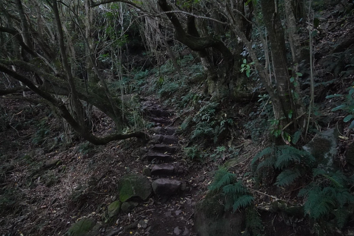
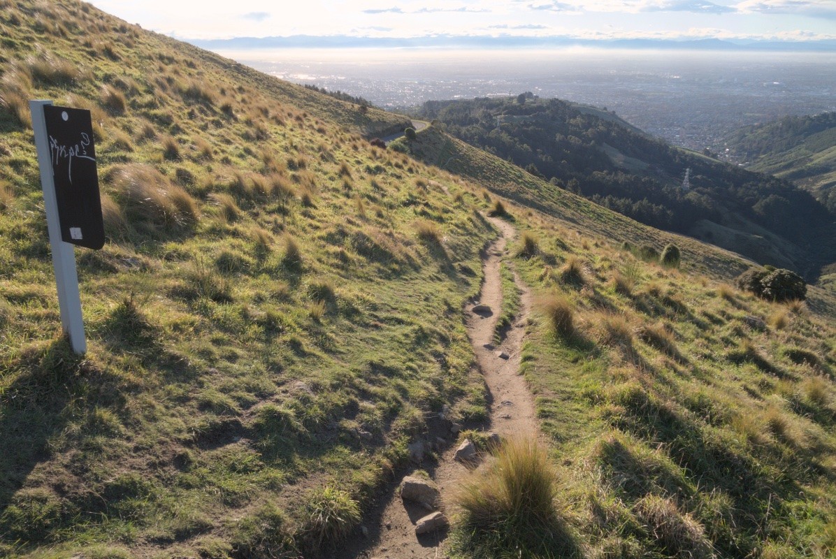
Today I did my monthly biodiversity run up into the Port Hills of Ōtautahi-Christchurch city, NZ. That takes my out of the Cashmere suburbs through the planted native forest and grasslands of Victoria Park and up into the old growth and naturally regenerated native forest of Sugarloaf peak.

I've been doing this route monthly since 2016, mapping and counting out birds and butterflies and assorted plants and fungi.

Here are some of today's highlights.

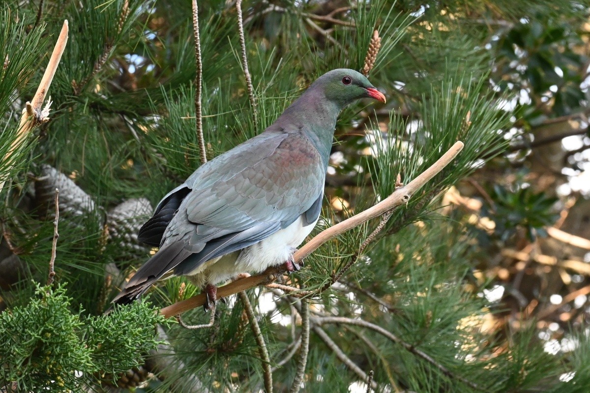
I had a close encounter with a kererū, perched about 1 metre from me (always a treat): https://inaturalist.nz/observations/297848998

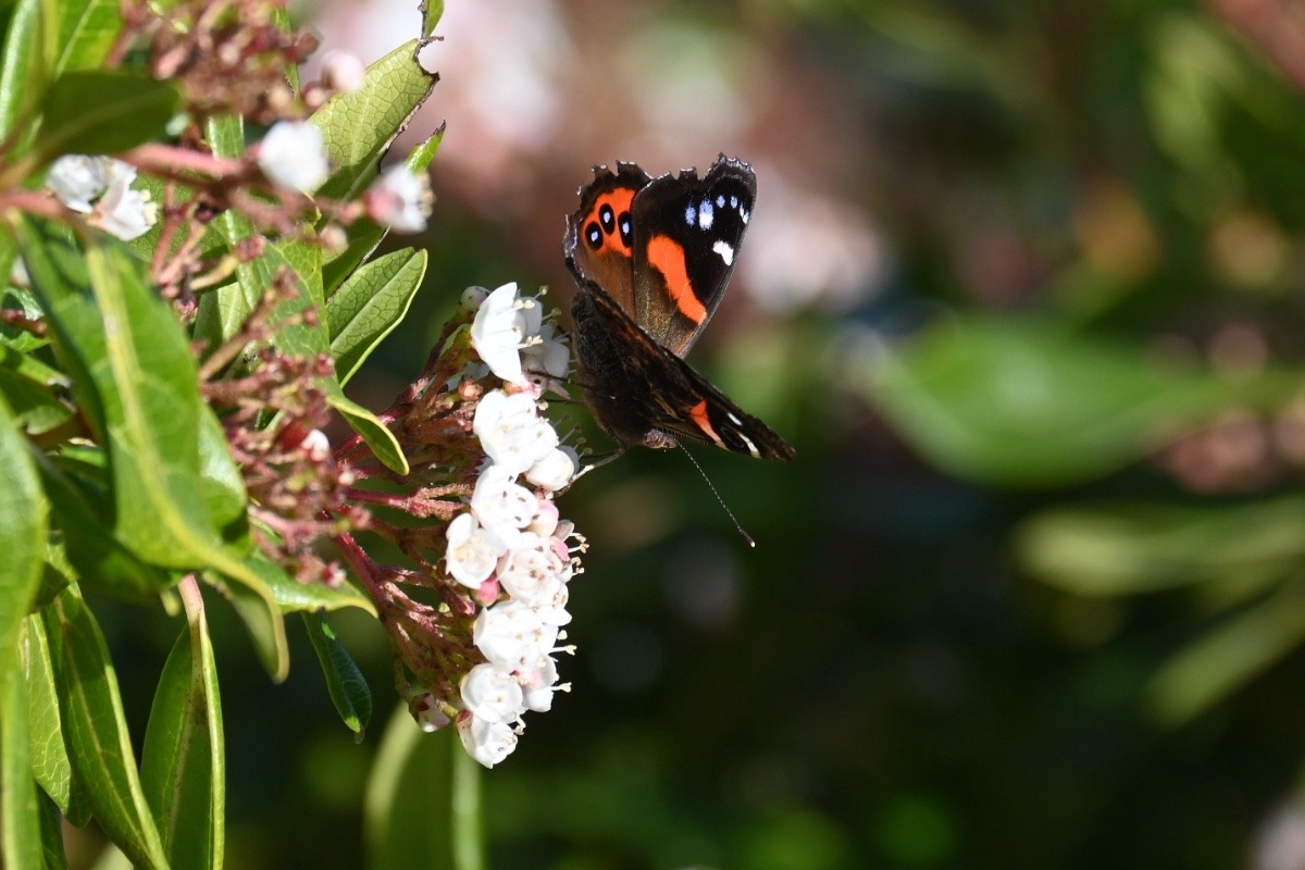
A kahukura (red admiral) was feeding from exotic Viburnum flowers: https://inaturalist.nz/observations/297849009

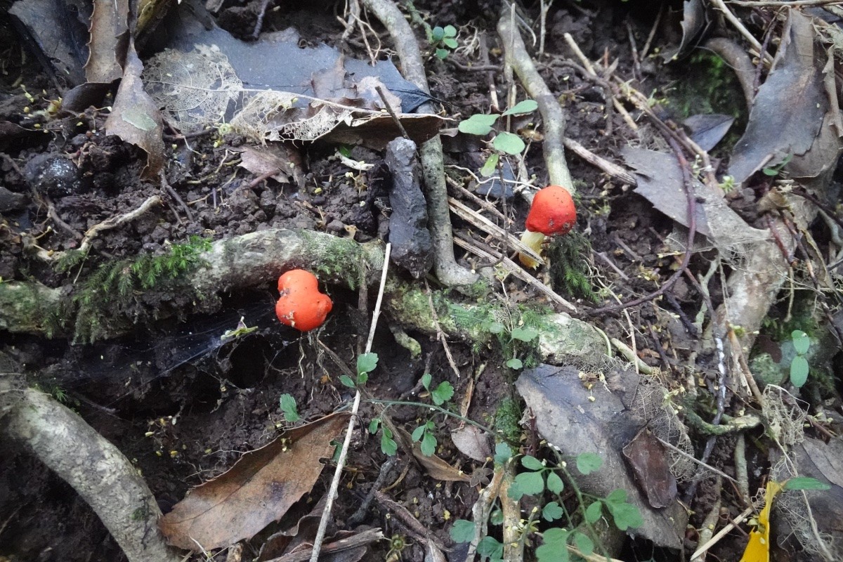
Some scarlet pouch fungi were lighting up the forest floor on Sugarloaf: https://inaturalist.nz/observations/297848989

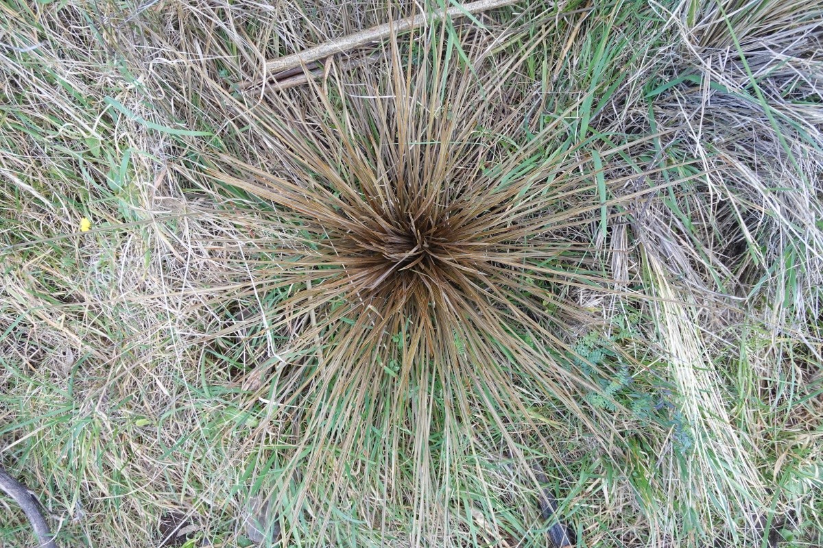
The one taramea (Aciphylla subfabellata speargrass) that I know of is still up by the Summit Road and looking healthy: https://inaturalist.nz/observations/297848991

#nature#WildCounts#UrbanEcology #EcologicalMonitoring

A photo looking down from head height at a thin-leaved spiny plant. This is a taramea, a kind of NZ speargrass (also called spaniard). They're no longer common in the Port Hills, as they're susceptible to grazing by introduced mammals. I map out all the ones I find and add them to iNaturalist.

My full-res photo is at https://inaturalist.nz/observations/297848991
A photo looking down from head height at a thin-leaved spiny plant. This is a taramea, a kind of NZ speargrass (also called spaniard). They're no longer common in the Port Hills, as they're susceptible to grazing by introduced mammals. I map out all the ones I find and add them to iNaturalist. My full-res photo is at https://inaturalist.nz/observations/297848991

Here are some photos of the route to give you an idea of the terrain. The Port Hills is an incredible asset to Christchurch city, and it's a large part of why our city's gardens are visited by native birds.

Plus, there are so many walking and biking tracks to explore!

#Christchurch#NZ#PortHills

A photo of track down off the top of Sugarloaf peak through sheep grazed native grassland. In the background are the forests of Victoria Park and behind them the built city of Christchurch spreads out across the Canterbury Plains. The Southern Alps mountains rim the horizon.
A photo of part of Latters Spur track, heading down towards the city. Bowenvale Valley is on the right. This section of track is grass with sheep pasture on the right and a weedy mess of Scotch broom, boneseed, tree lucerne, and wilding pines on the right (mostly out of view of this photo).