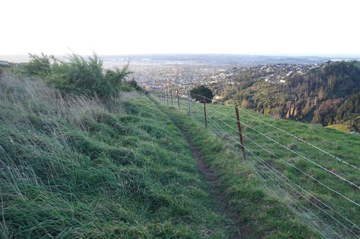
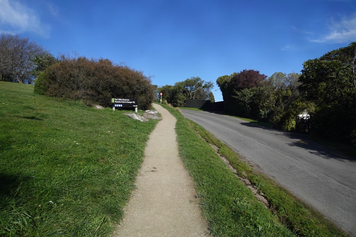
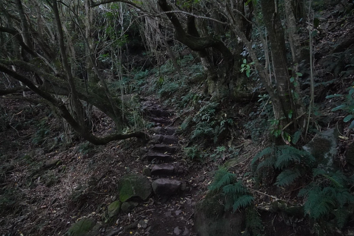
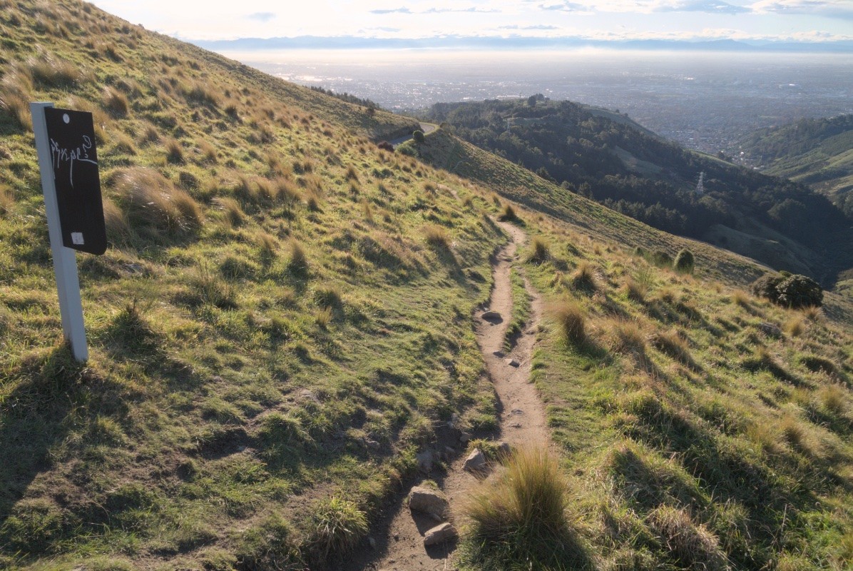
Today I did my monthly biodiversity run up into the Port Hills of Ōtautahi-Christchurch city, NZ. That takes my out of the Cashmere suburbs through the planted native forest and grasslands of Victoria Park and up into the old growth and naturally regenerated native forest of Sugarloaf peak.
I've been doing this route monthly since 2016, mapping and counting out birds and butterflies and assorted plants and fungi.
Here are some of today's highlights.
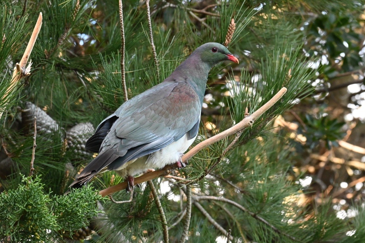
I had a close encounter with a kererū, perched about 1 metre from me (always a treat): https://inaturalist.nz/observations/297848998
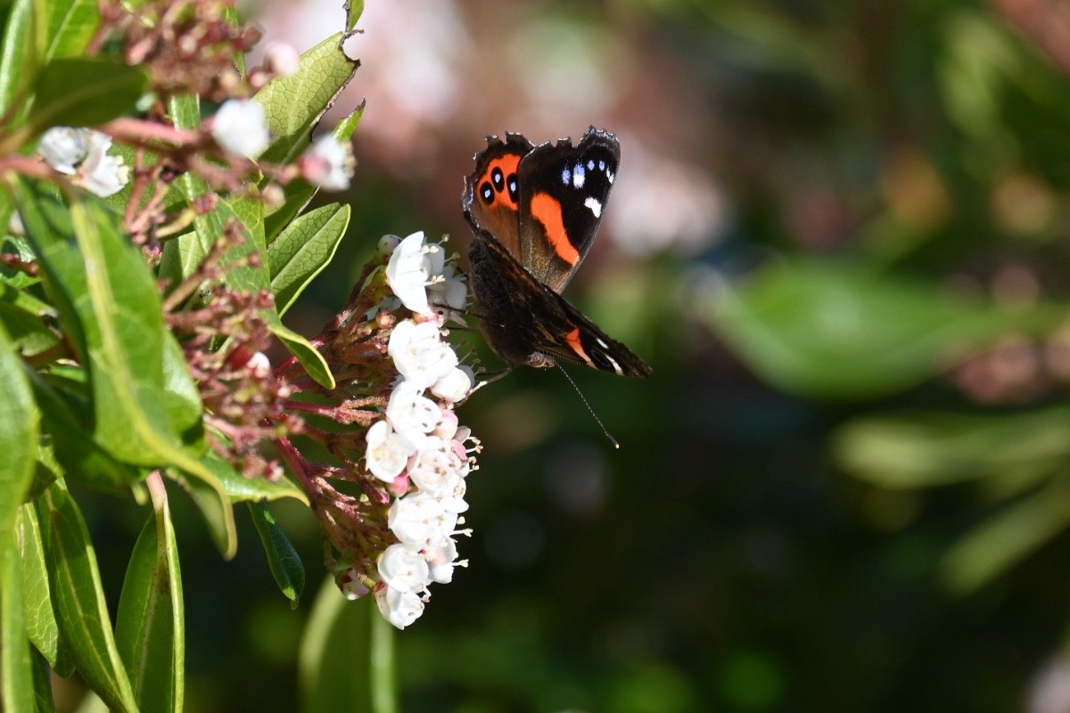
A kahukura (red admiral) was feeding from exotic Viburnum flowers: https://inaturalist.nz/observations/297849009
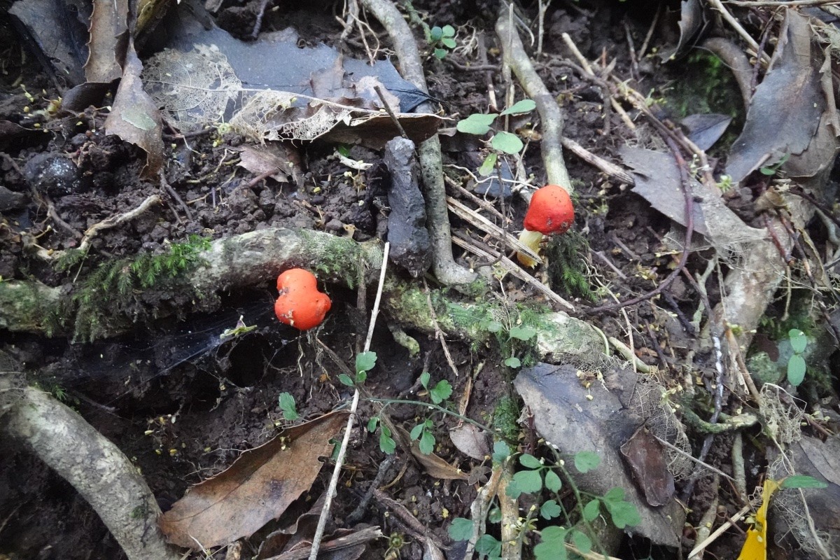
Some scarlet pouch fungi were lighting up the forest floor on Sugarloaf: https://inaturalist.nz/observations/297848989
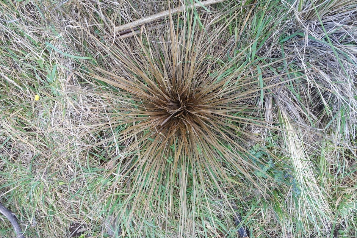
The one taramea (Aciphylla subfabellata speargrass) that I know of is still up by the Summit Road and looking healthy: https://inaturalist.nz/observations/297848991
