Had a long weekend in southern #Eryri and tried to squeeze in some training (i.e. drag people up mountains with me).
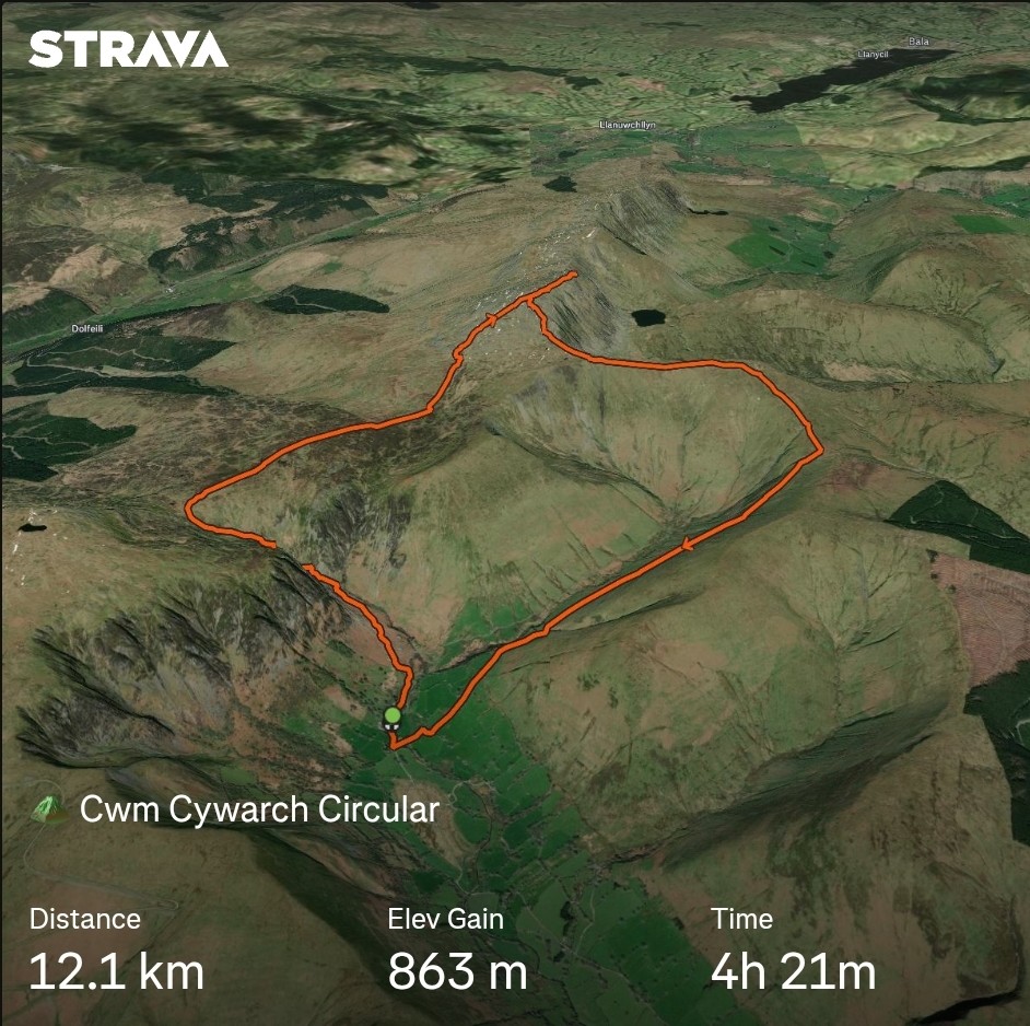
- Climbed Aran Fawddwy from Cwm Cywarch, pleased with this as it was the only "Welsh Major"/P600 peak I didn't climb last year
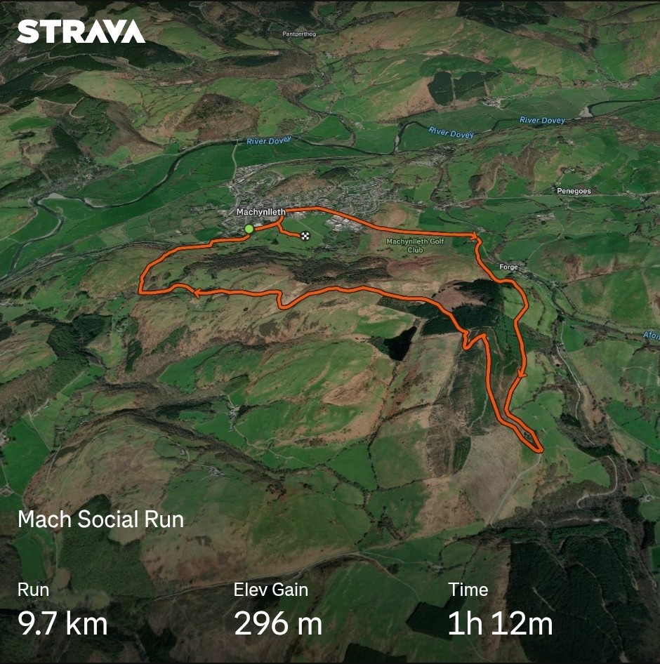
- Did a social run in the hills around Machynlleth, some good climbing/descending practice (not technically Eryri, but adjacent)
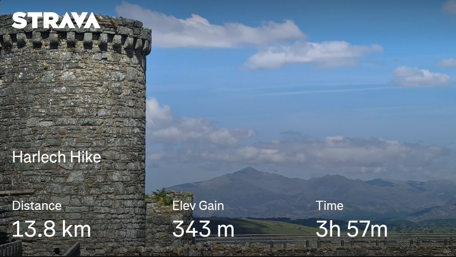
- Had an easy day walking around Harlech, paddling in the sea, with views of Yr Wyddfa from the castle battlements
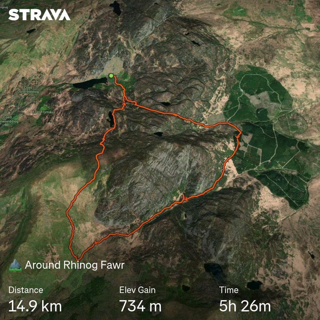
- Hiked around Rhinog Fawr, but didn't summit as the ascent was a bit scrambly and some of the party weren't confident reversing it. Will come back for it!
4 media