Matthieu Viry
boosted

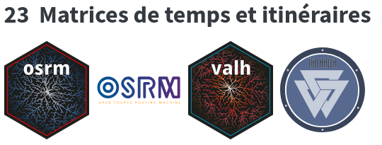
A new version of {valh} has hit the CRAN.
{valh} is an interface between R and the Valhalla API.
Valhalla is a routing service based on OpenStreetMap data.
https://github.com/riatelab/valh
This is mostly a maintenance release, no new features, but the package is working well 🙂 .
Co-authored by @mthv
#RStats #RSpatial #OpenStreetMap #gis