Sander Meijer
boosted

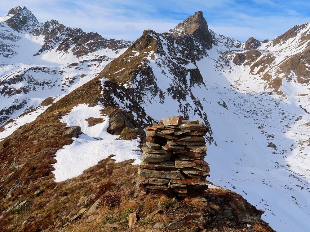
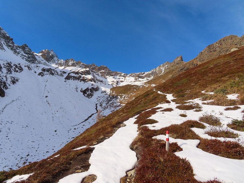
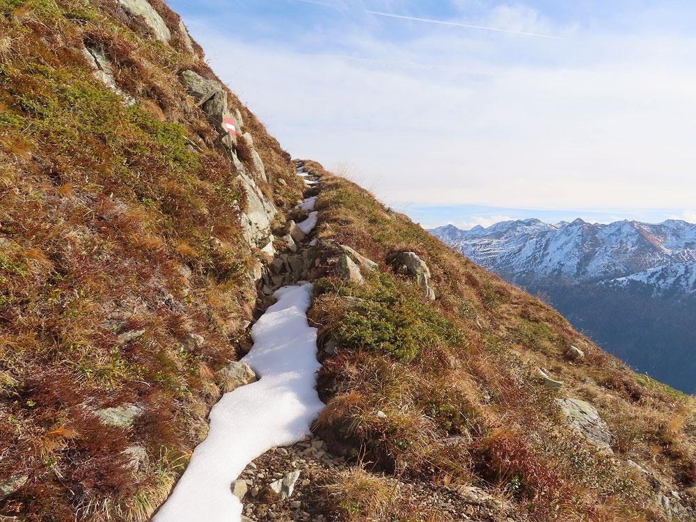
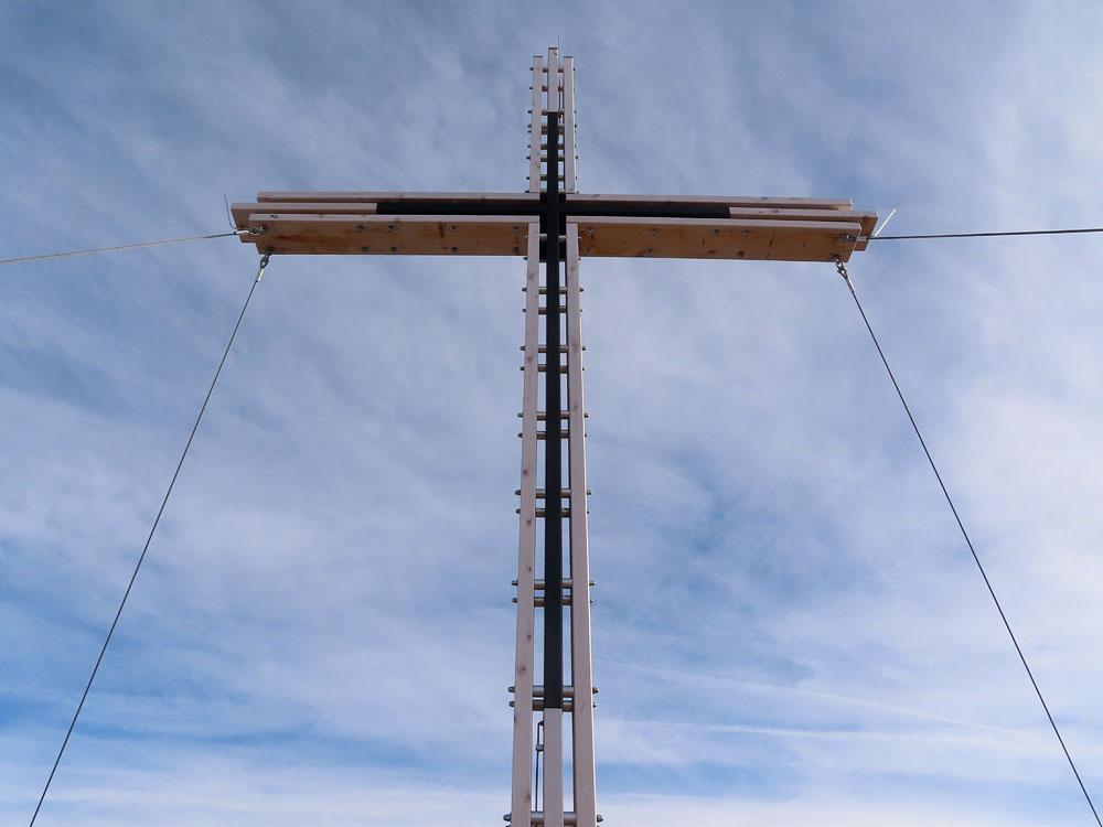
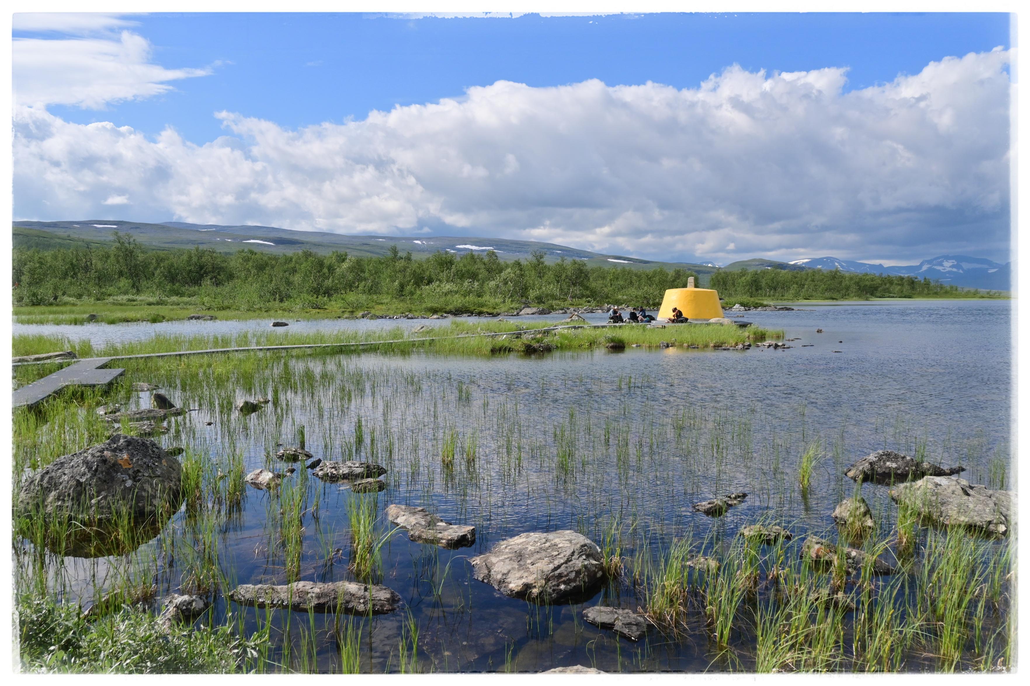
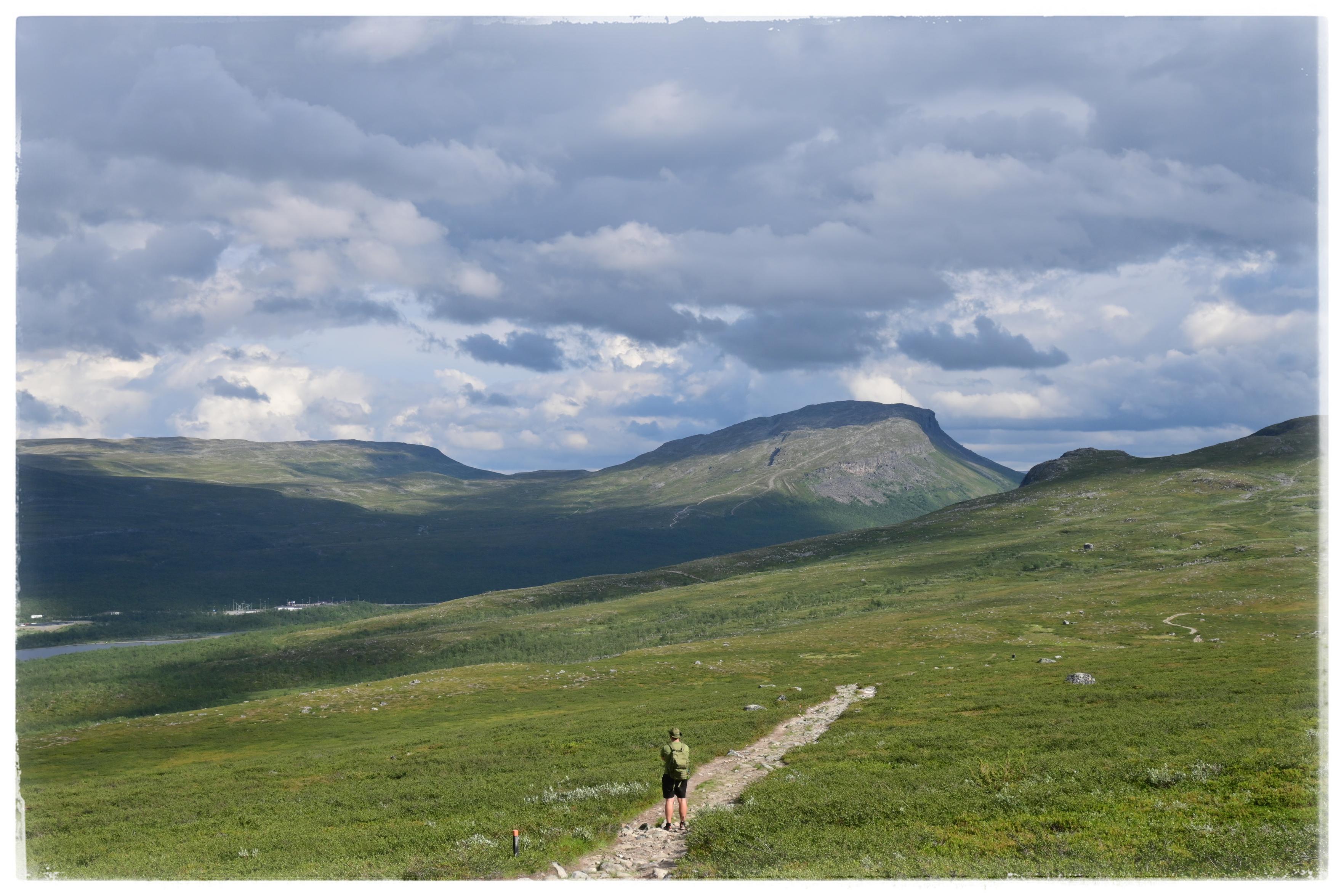
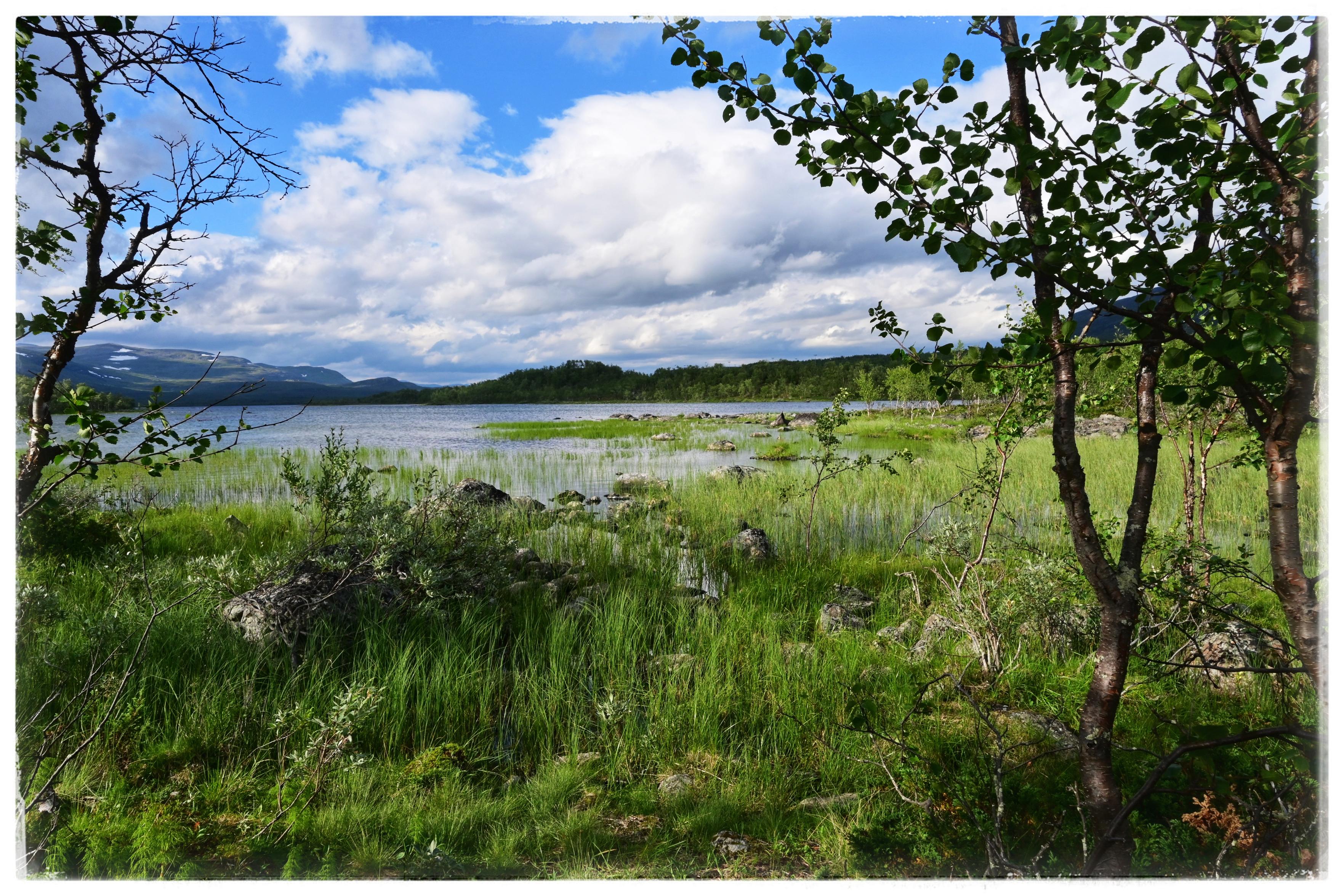
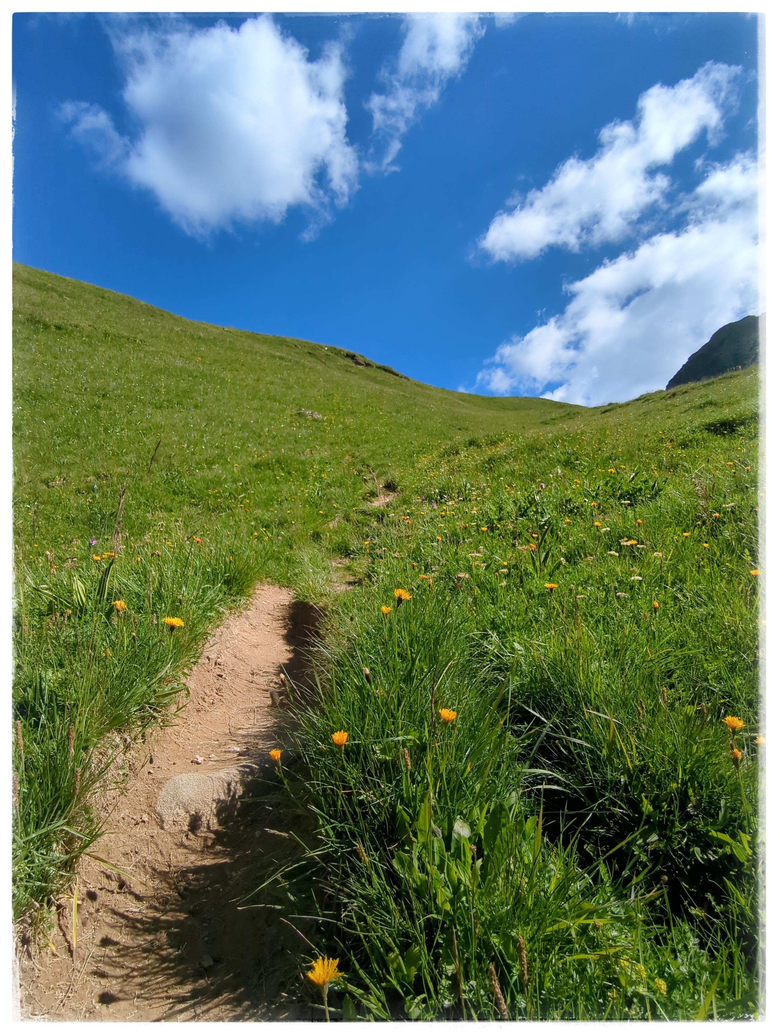
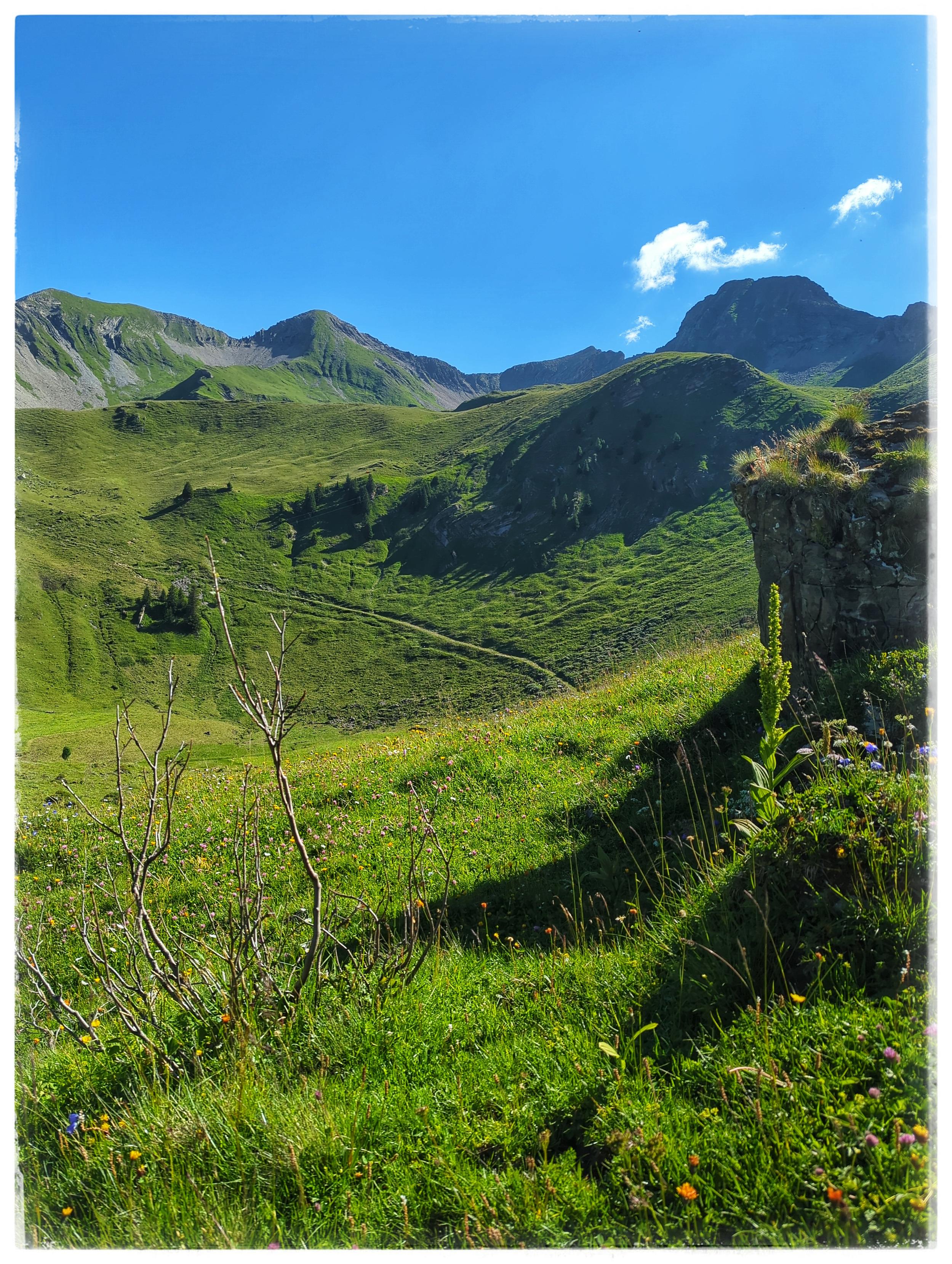
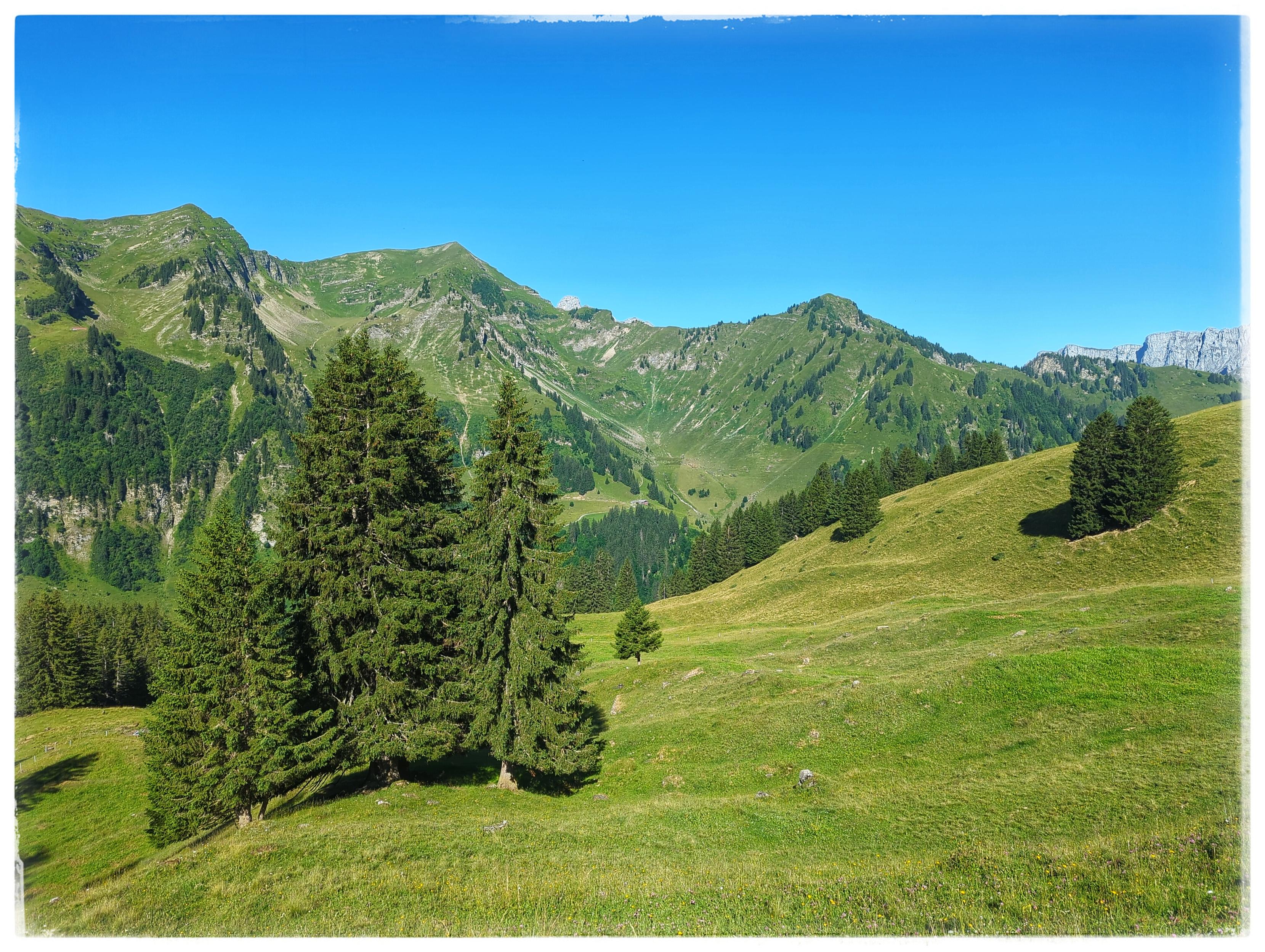
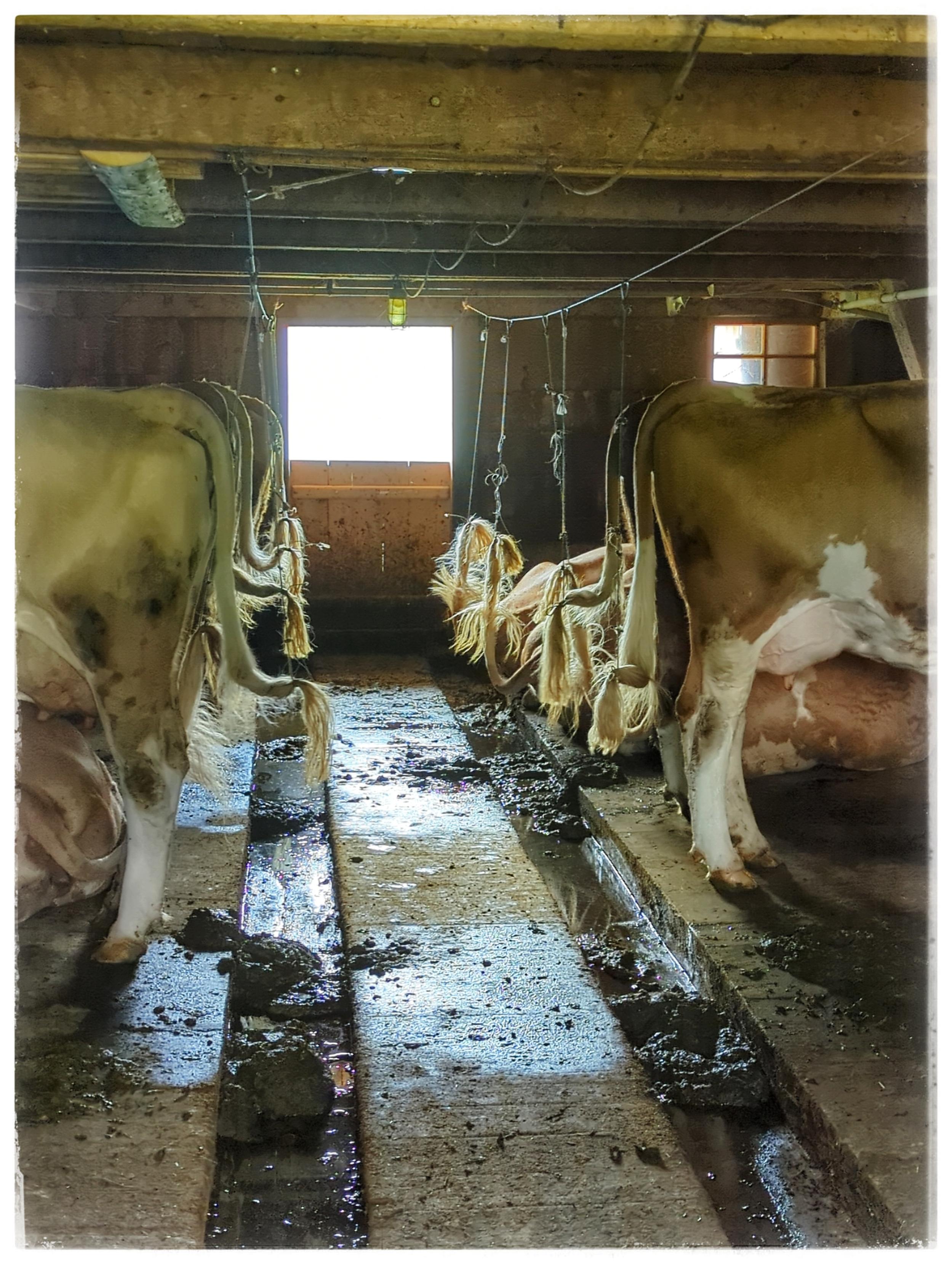
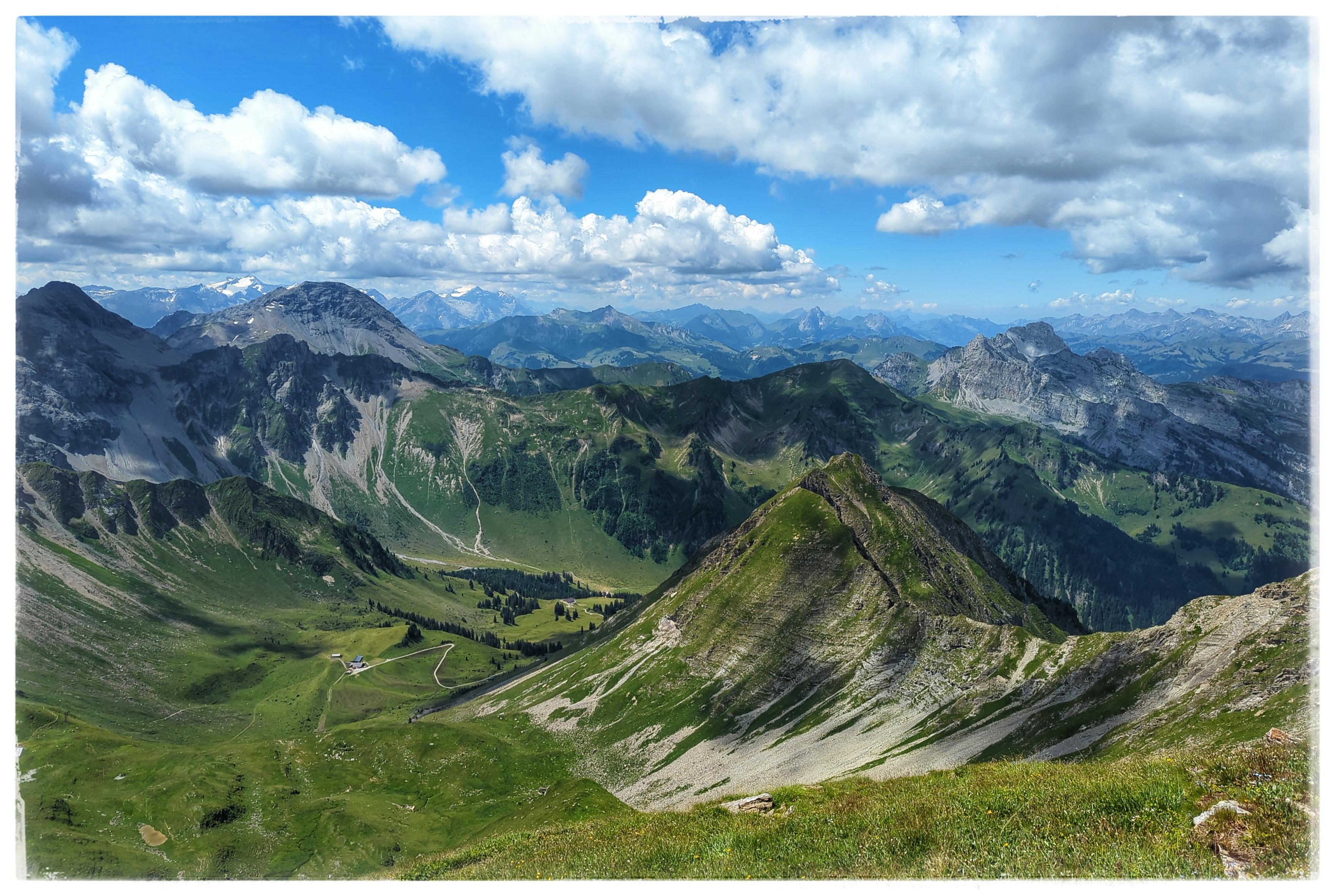
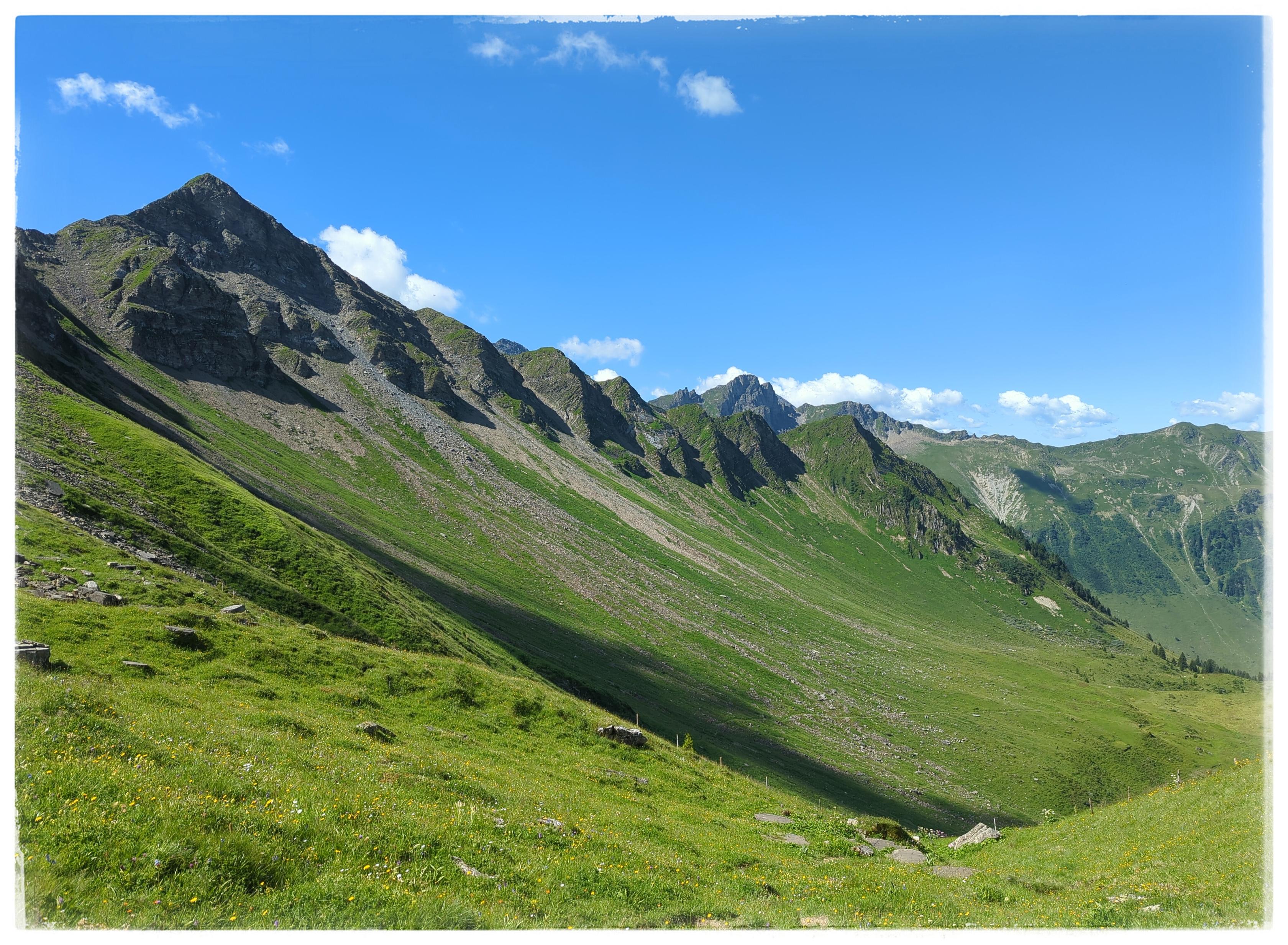
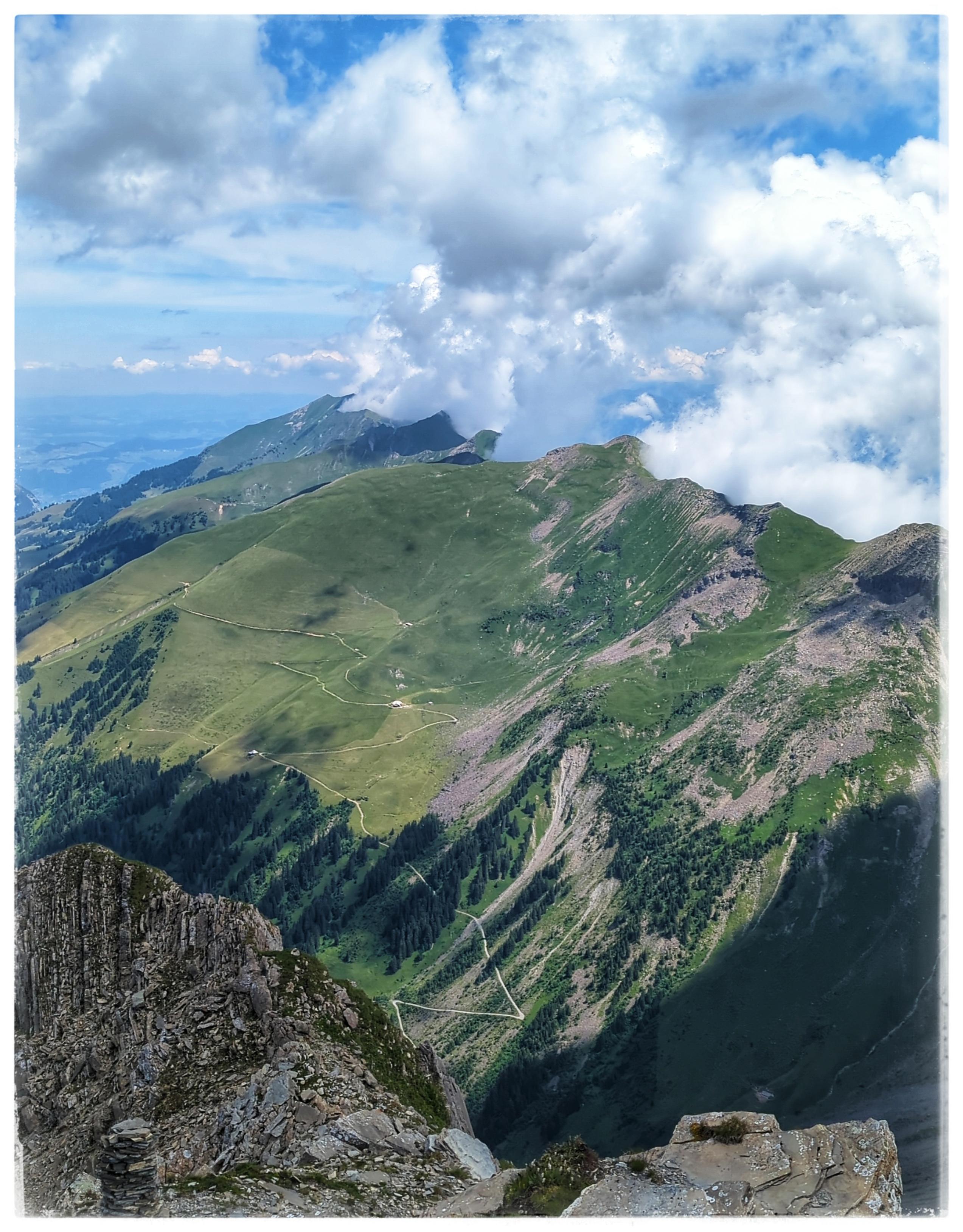
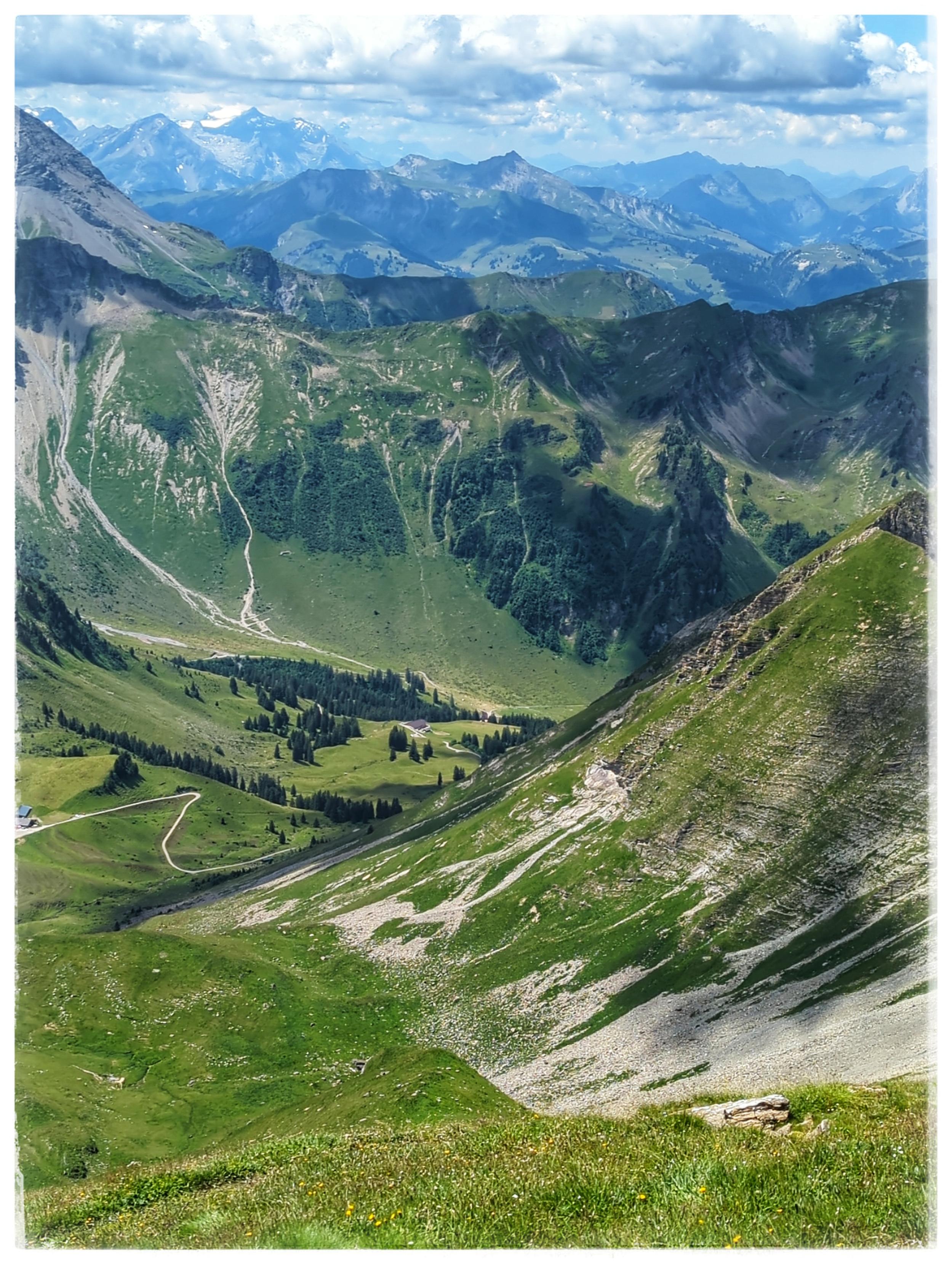
Herrliche Wanderung im Tiroler Paznauntal 😃👍
https://www.downhillhoppers.com/?p=10901
#Wanderung #Wandern #Bergsteigen #Berg #Gipfel #KapplerKopf #Kappl #Paznauntal #Tirol
4 media