Discussion
Loading...

Post

Log in
  • About
  • Code of conduct
  • Privacy
  • Users
  • Instances
  • About Bonfire
Patrick Lam :tinoflag:
@va2lam@mastodon.nz  ·  activity timestamp 22 hours ago

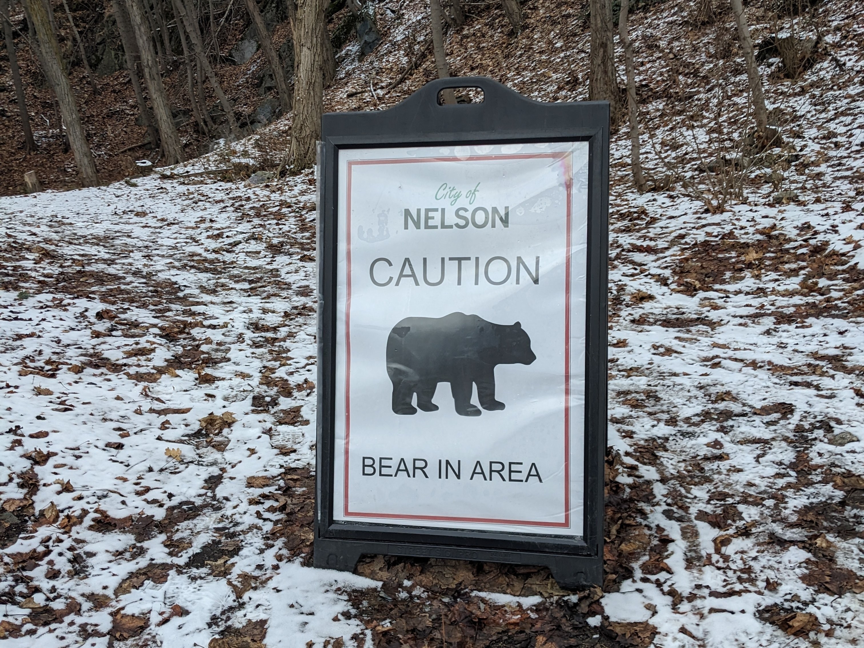
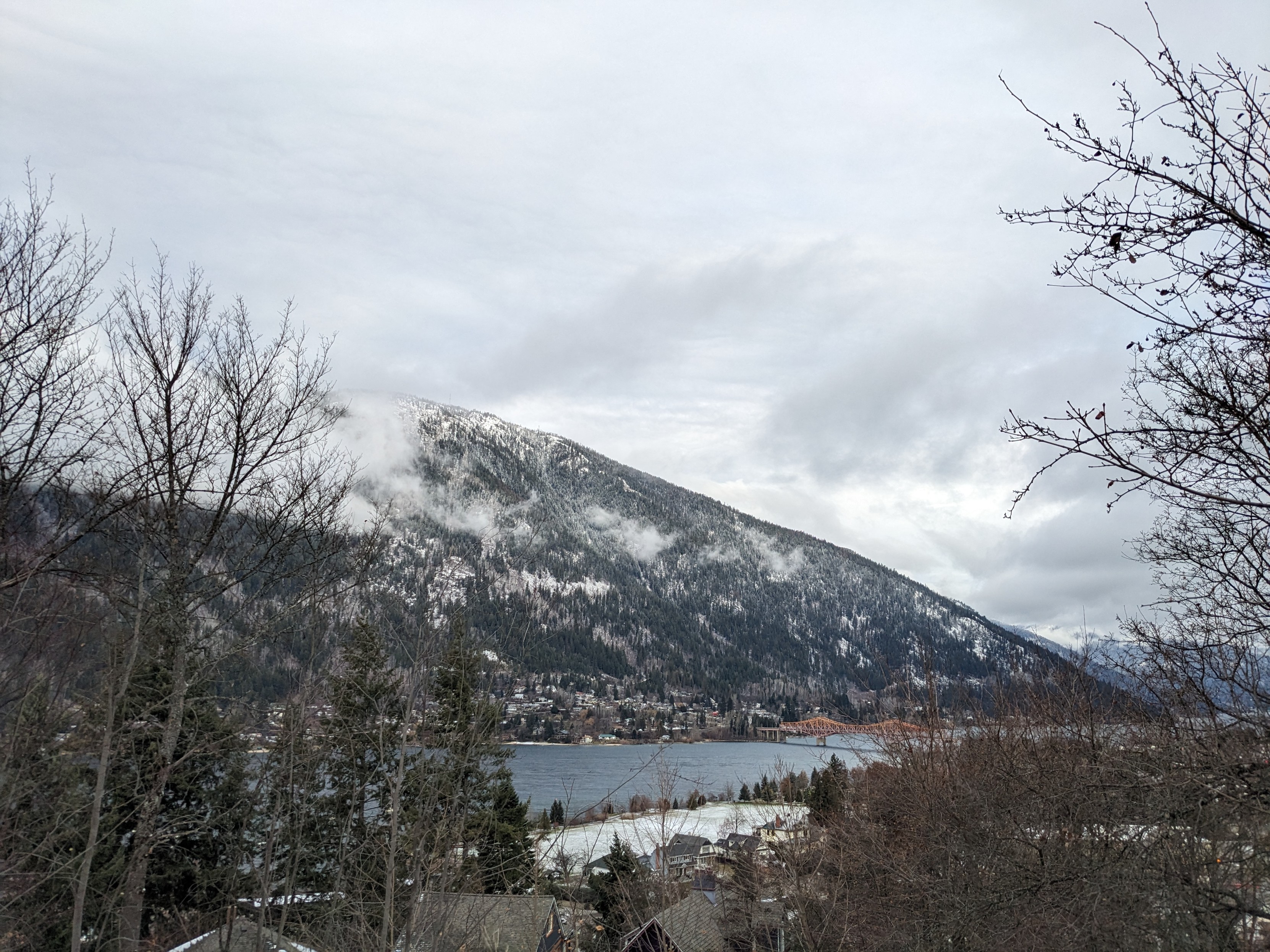
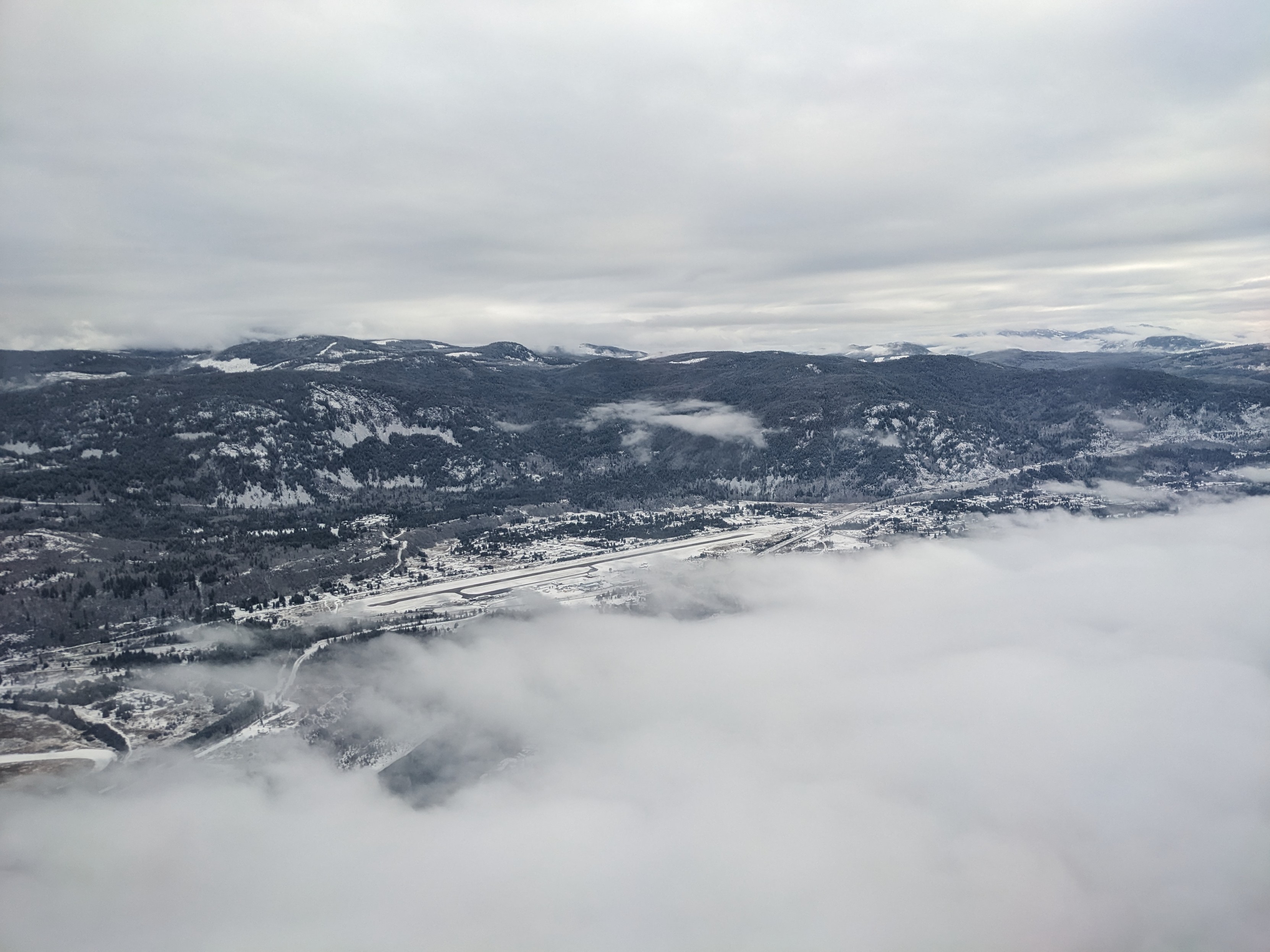
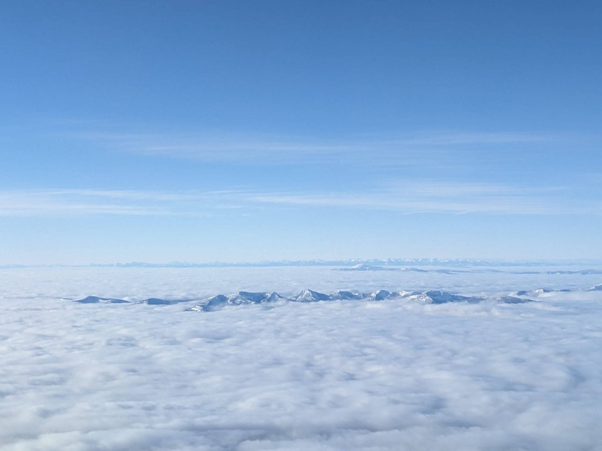
Around that time I also made it to Nelson BC for an avalanche course. Those pictures were posted a while ago, but here are some Nelson pictures.

4 media
Gyro Park, pretty close to central Nelson BC, has a sign warning you about a bear in the area. I didn't see any bear.
Looks like a river but is actually a branch of Kootenay Lake. There is a big orange bridge across the water and some hills on the other side of the water. Some houses nearby and below.
We did successfully land in Castlegar on the first try. The runway is visible here surrounded by snow. There are clouds too.
Some tops of snowy peaks are visible above the clouds flying from Vancouver to Castlegar (I think).
  • Copy link
  • Flag this post
  • Block
Patrick Lam :tinoflag:
@va2lam@mastodon.nz replied  ·  activity timestamp 21 hours ago

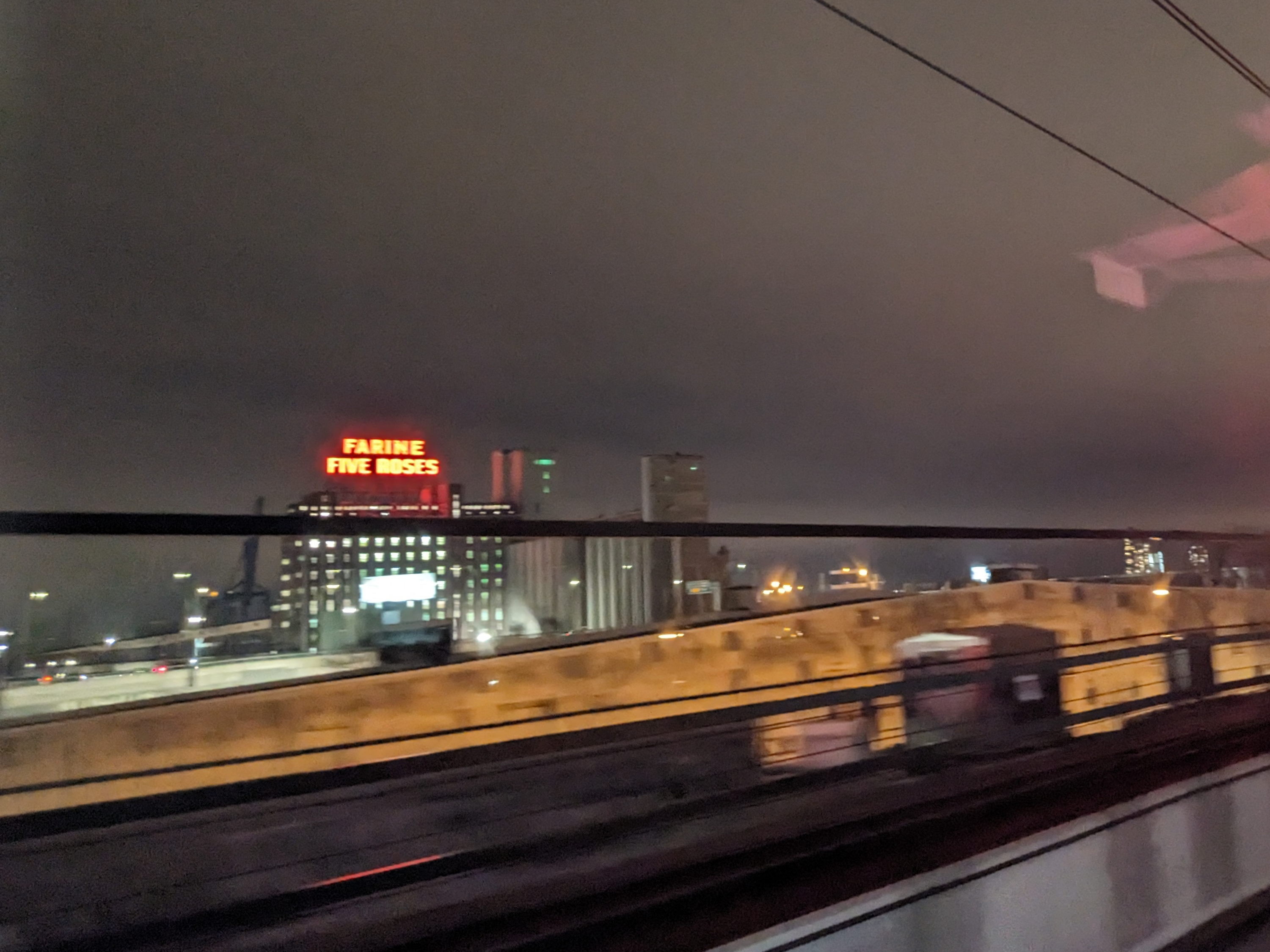
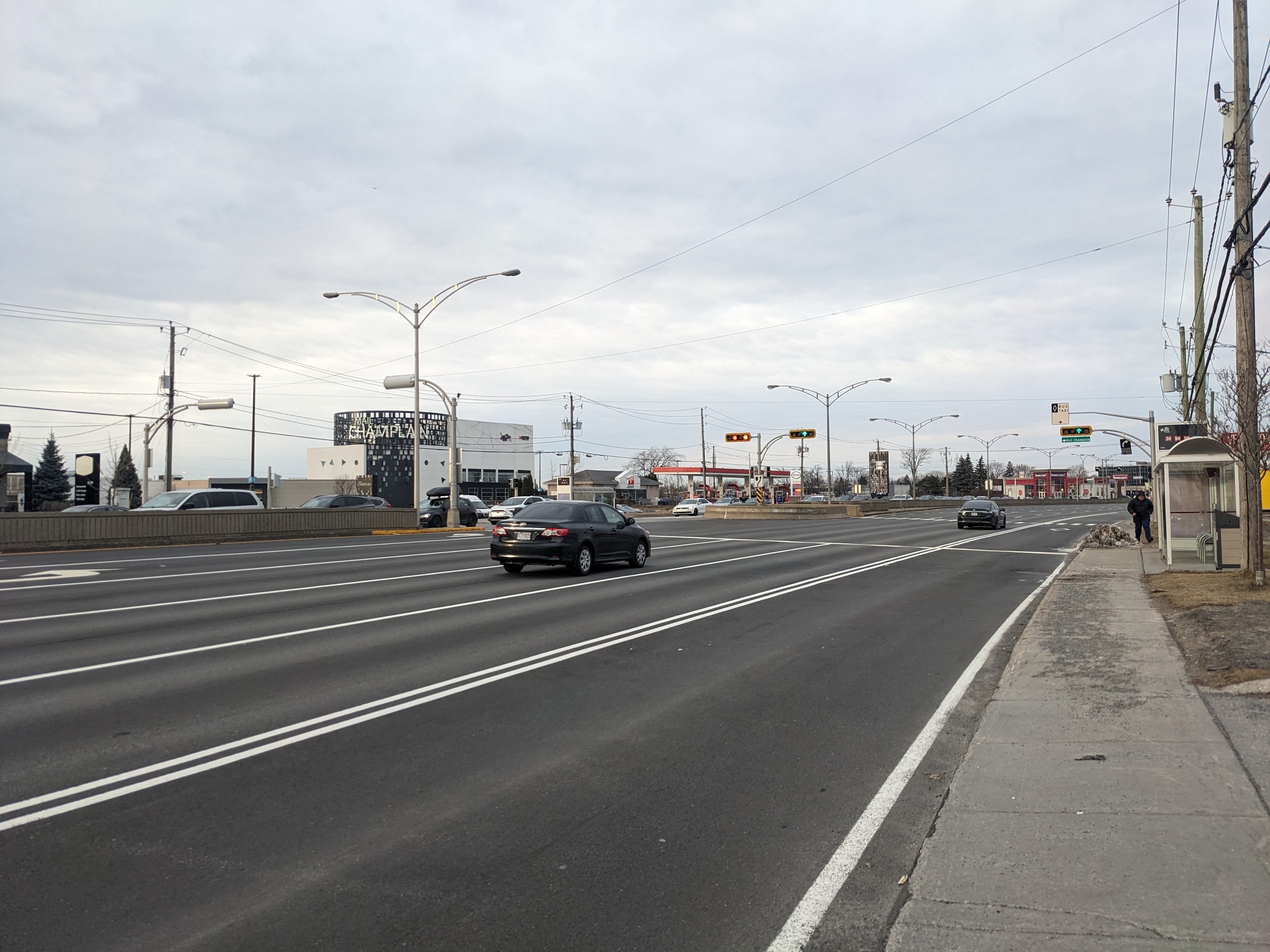
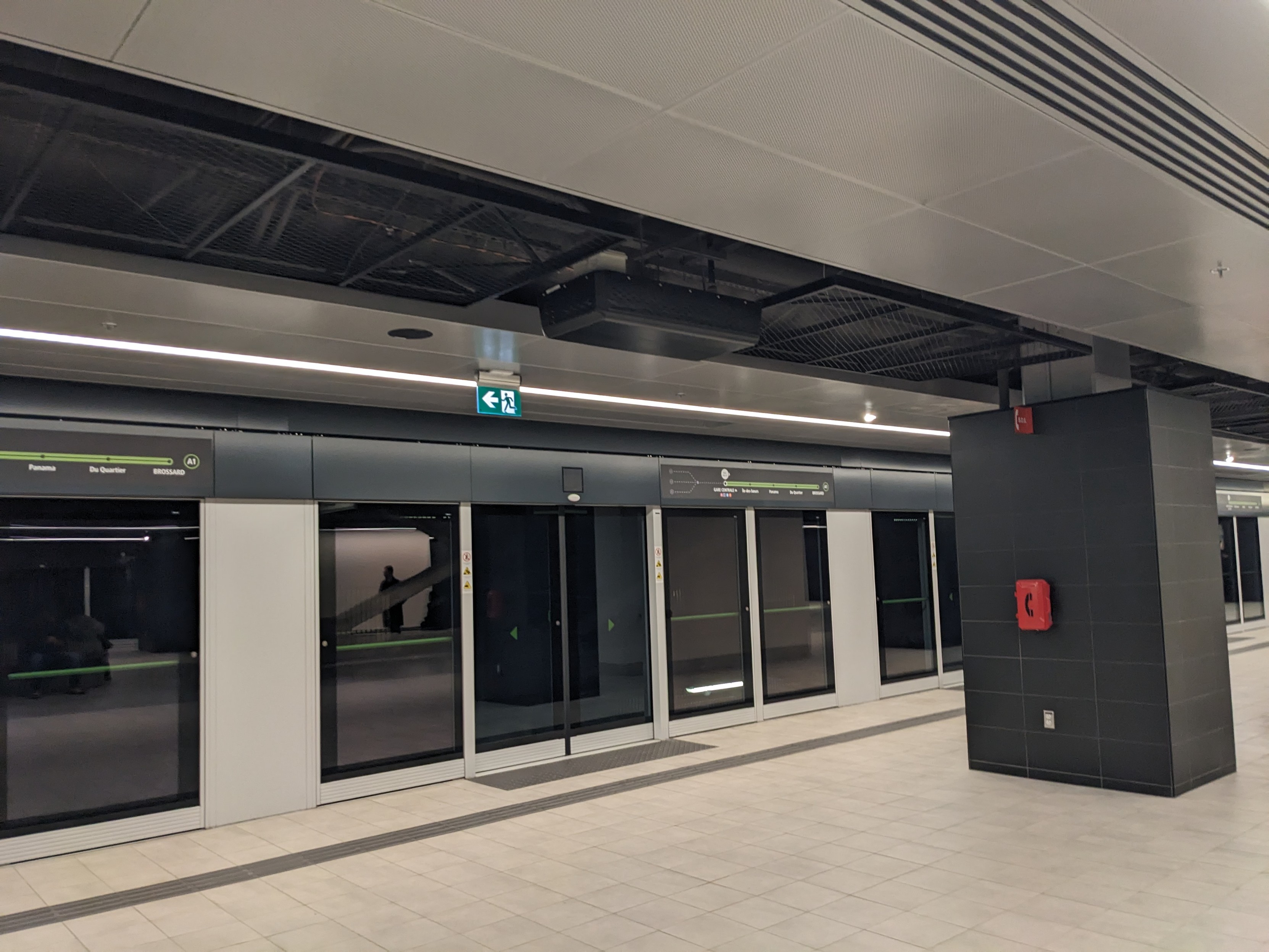
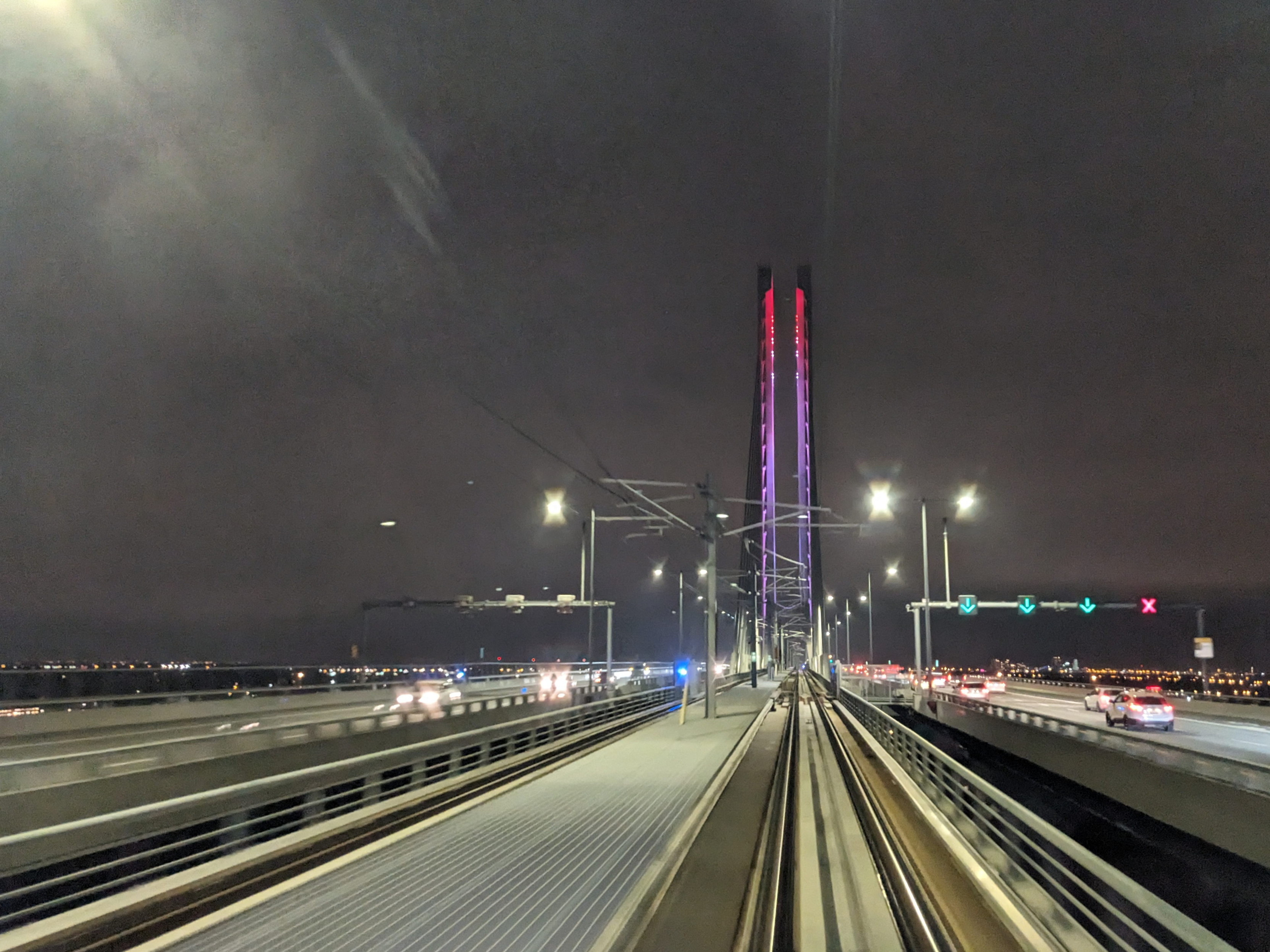
The Five Roses sign is a well-known Montreal landmark. Here's a bad picture of it, while I was riding the REM, before going to Nelson. Also, Taschereau Boulevard is my reference for bad urban design, though I hear they're going to redesign it.

4 media
The Farine Five Roses sign is lit up in neon and visible from the window of the REM between Montreal and the South Shore.
Taschereau is very much a canonical stroad in Brossard and adjacent suburbs, with many lanes of traffic, malls, and car dealerships.
The REM is a new light metro system in Greater Montreal. Like any modern system, there is no direct track access; you have to go through doors to get onto the train, and the doors only open when there is a train there. There are also some system maps around the doors and a black column.
The REM crosses the St. Lawrence River on the new Champlain Bridge, which is lit up in red and purple in this picture, above the train tracks.
  • Copy link
  • Flag this comment
  • Block
Patrick Lam :tinoflag:
@va2lam@mastodon.nz replied  ·  activity timestamp 21 hours ago

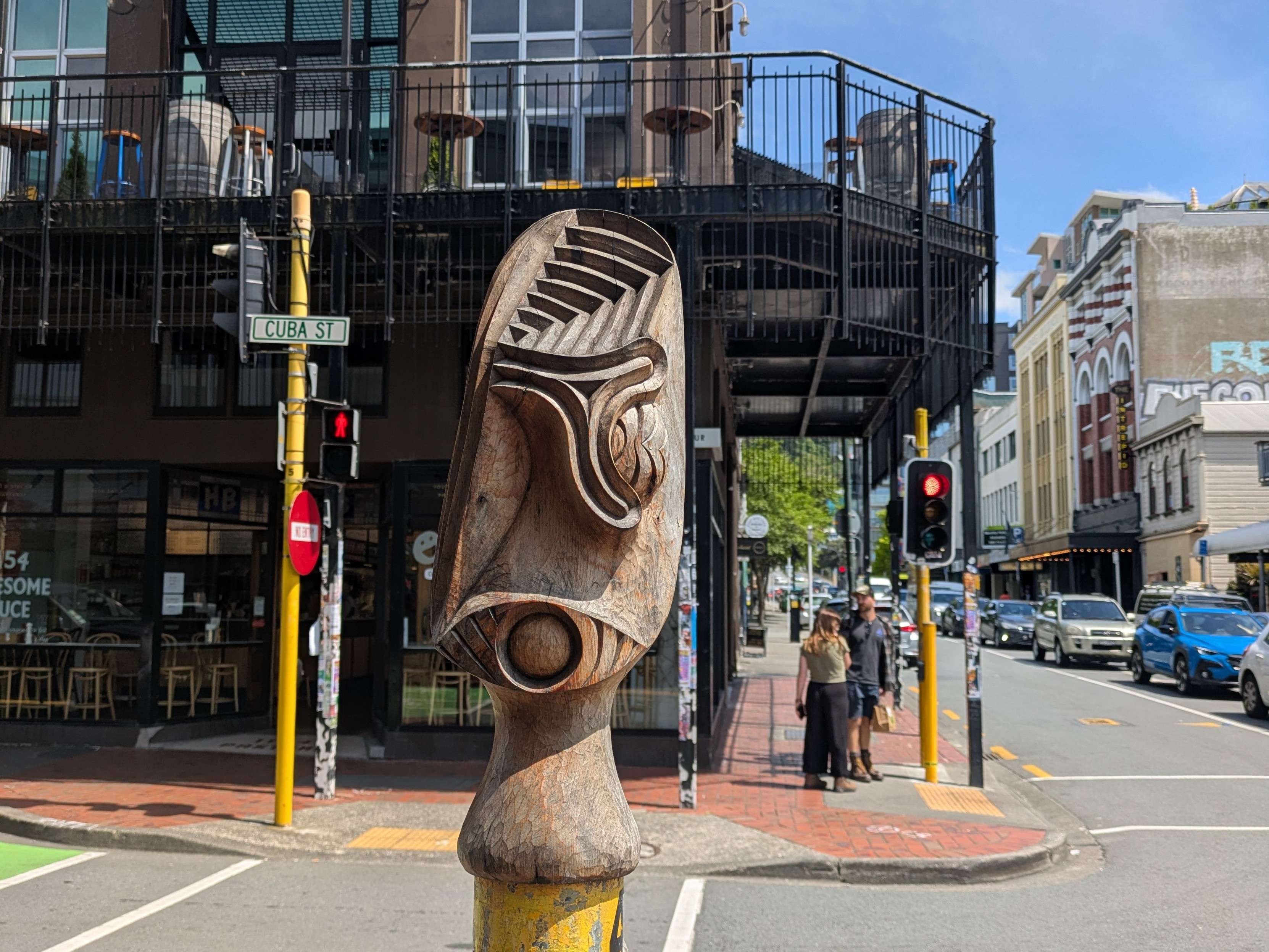
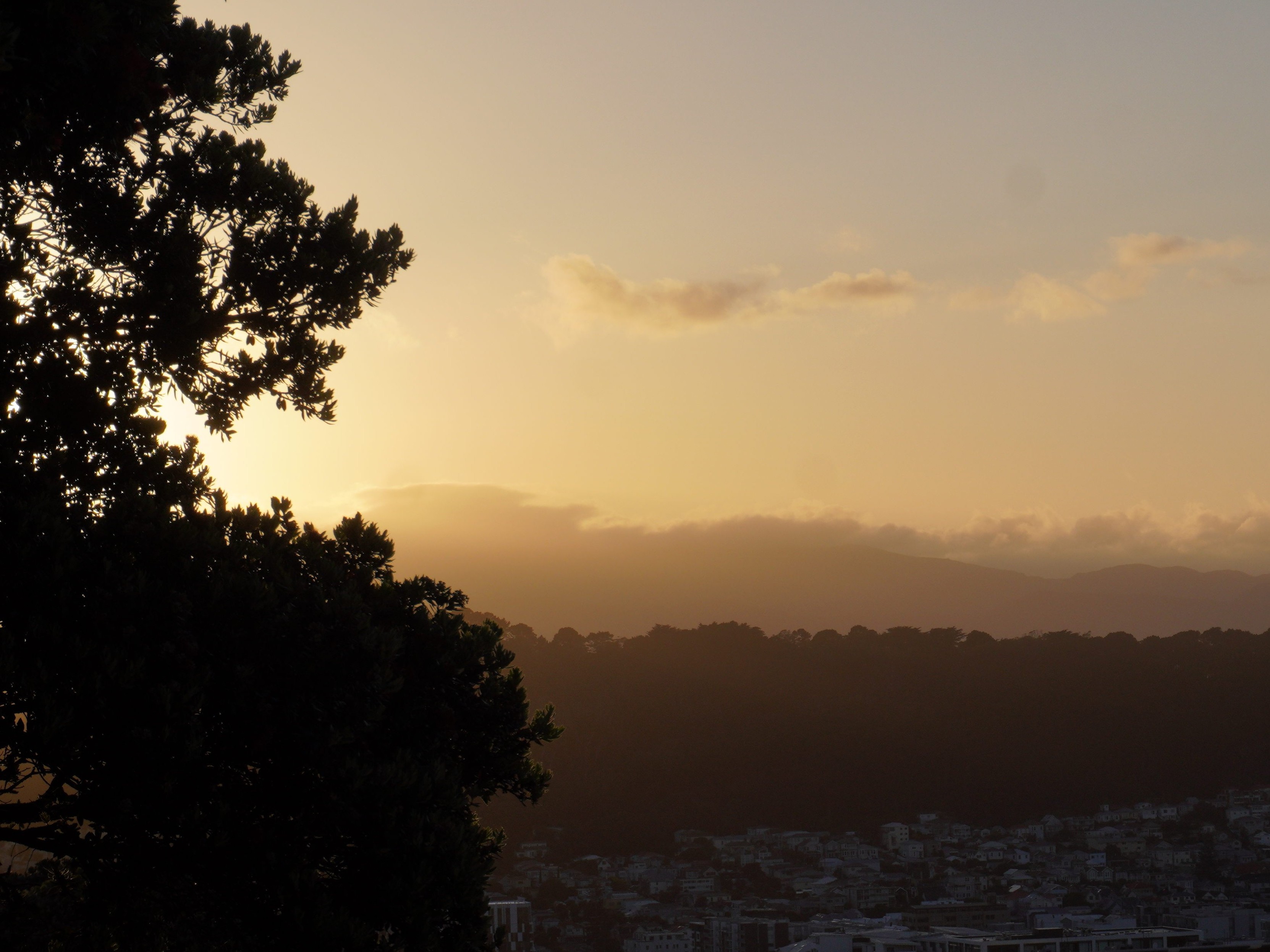
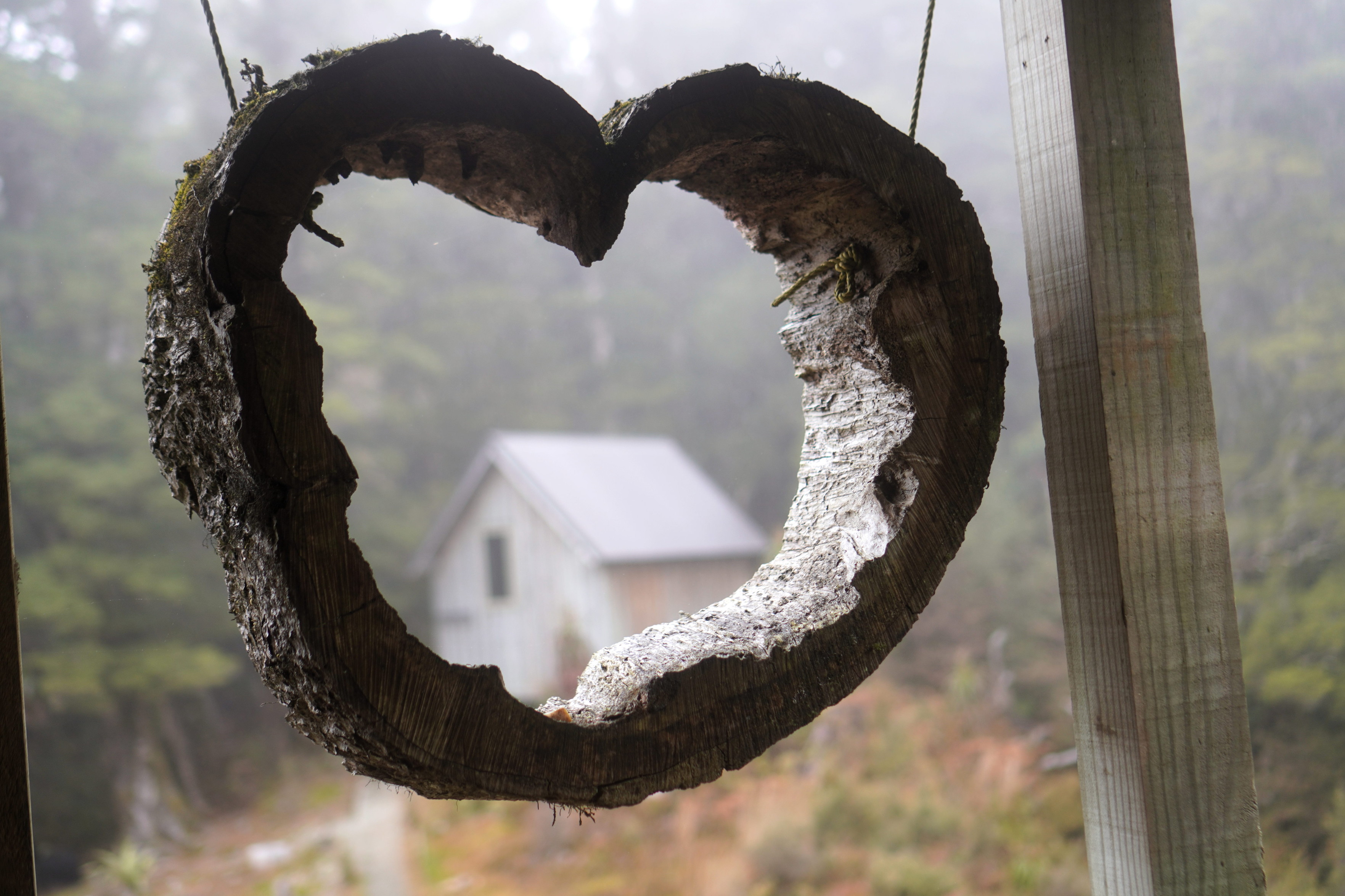
Now let's move on to a totally different city in a totally different climate--- #Wellington.

4 media
A carving on a pole on Cuba Street.
Deep orange sunset over Bunnings. The sun is setting into some clouds but the sky has various other broken clouds.
The Faultline climbing gym's logo is projected onto the ground near the entrance.
Luigi (and Mario, not visible) are dressed up for Hallowe'en on the Terrace near some cars.
  • Copy link
  • Flag this comment
  • Block
Patrick Lam :tinoflag:
@va2lam@mastodon.nz replied  ·  activity timestamp 21 hours ago

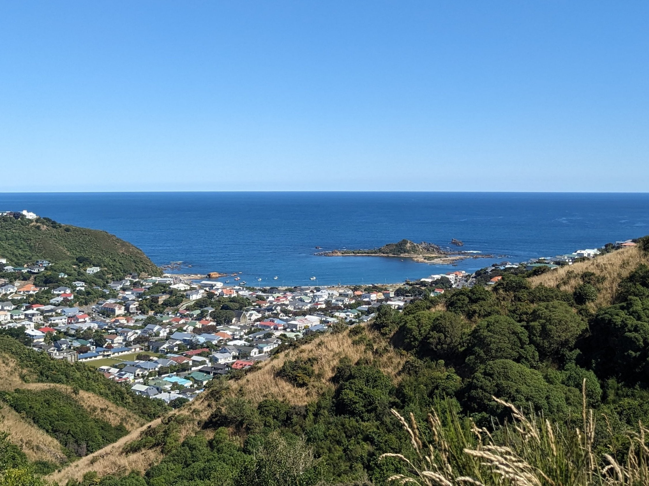
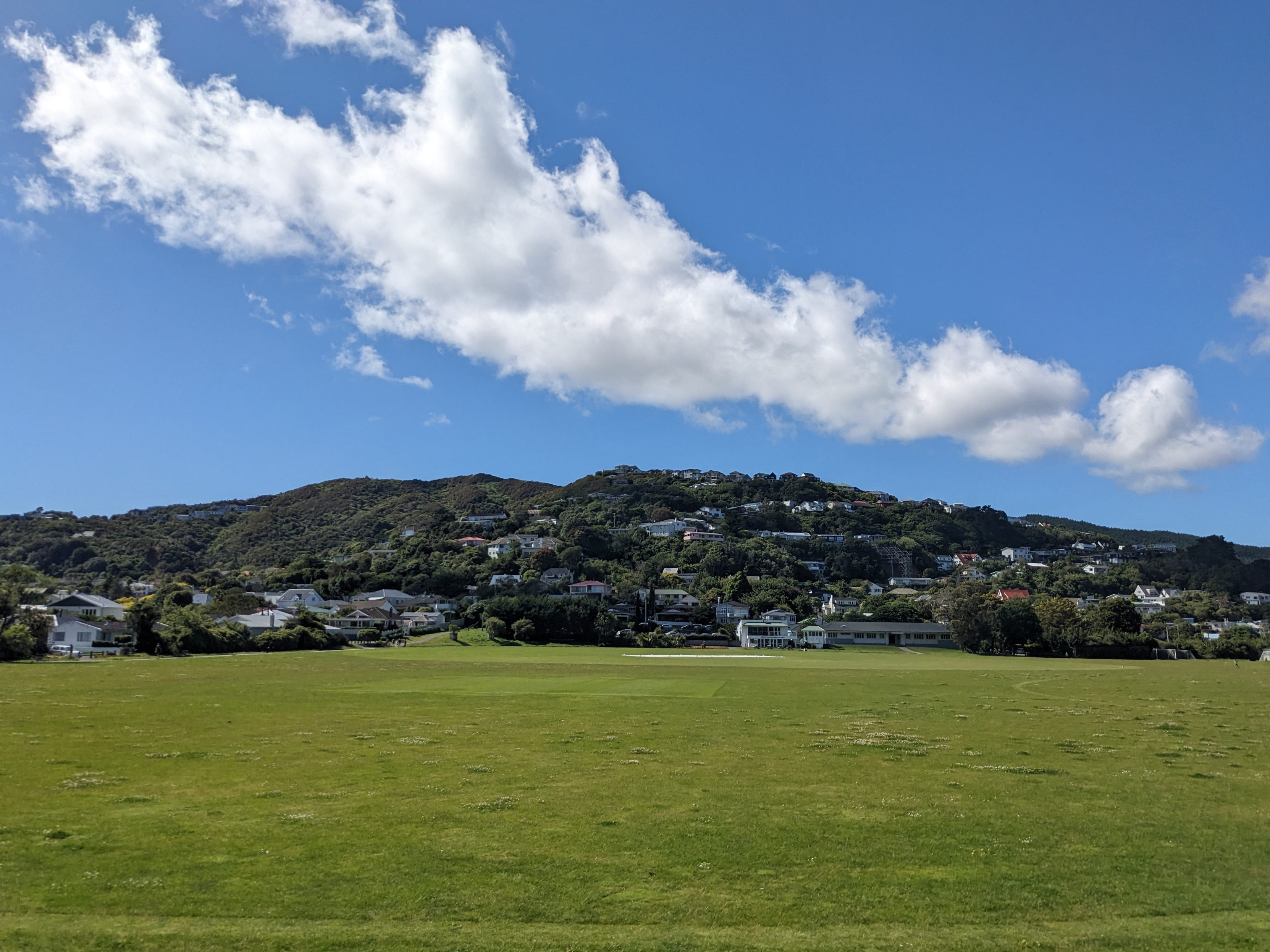
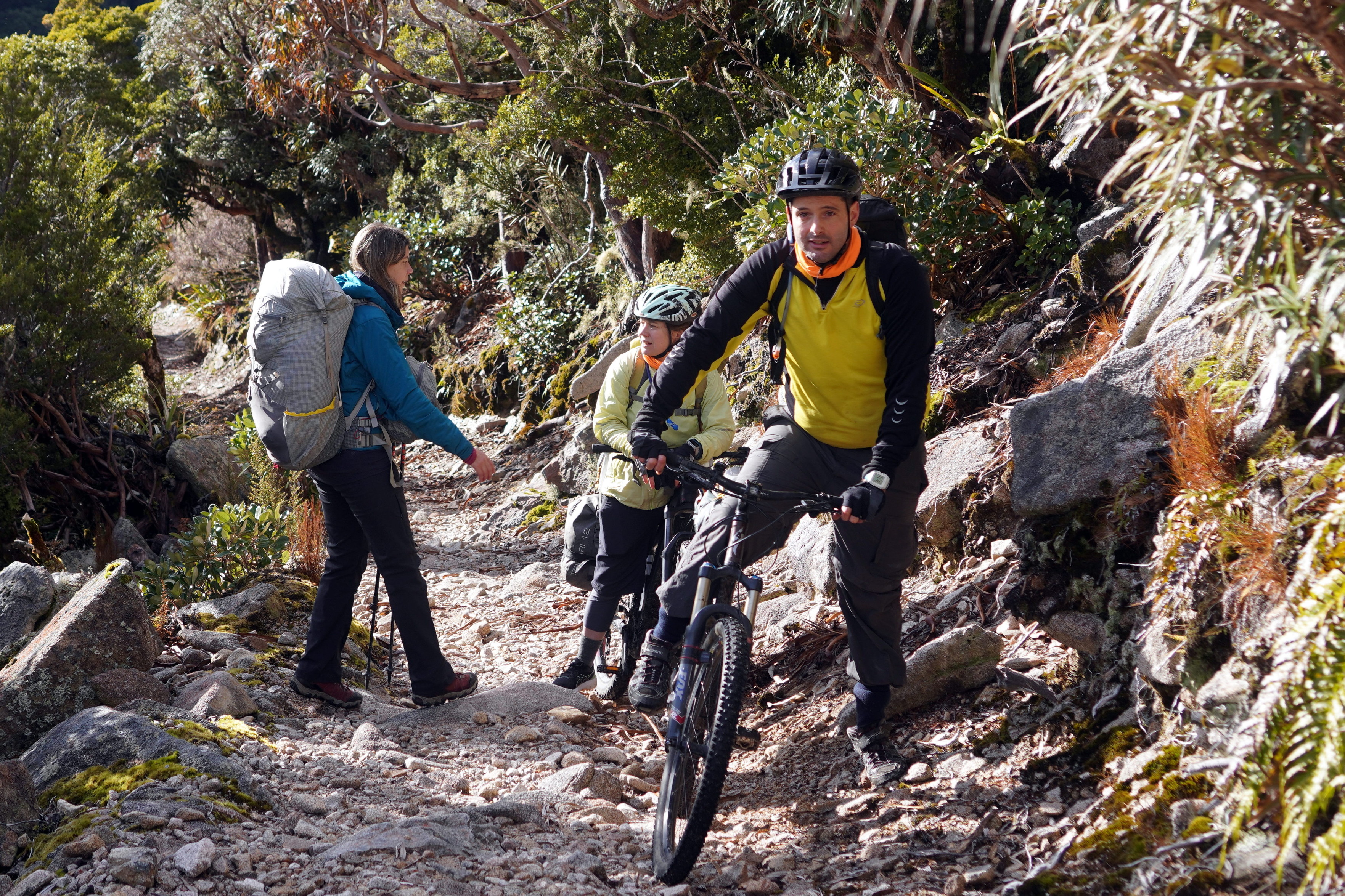
I can step out my front door and walk to the beach, or the forest, or the park.

4 media
Summer sunrise, early in the morning. The sky is orange, Mount Vic is visible in the background, and a pōhutukawa is to the left.
Island Bay and Taputeranga Island are on the Cook Strait on the southern end of Wellington. This picture is taken from a walking track, but there are houses below.
The large grassy field of Karori Park in foreground, with small hills and houses in background, underneath a mostly sunny sky with a line-shaped cloud.
An eel (tuna) swims in Otari-Wilton's Bush, if I remember correctly. It's a black creature in a dark green stream. There are some branches in the foreground, which are definitely not a beaver dam.
  • Copy link
  • Flag this comment
  • Block
Patrick Lam :tinoflag:
@va2lam@mastodon.nz replied  ·  activity timestamp 21 hours ago

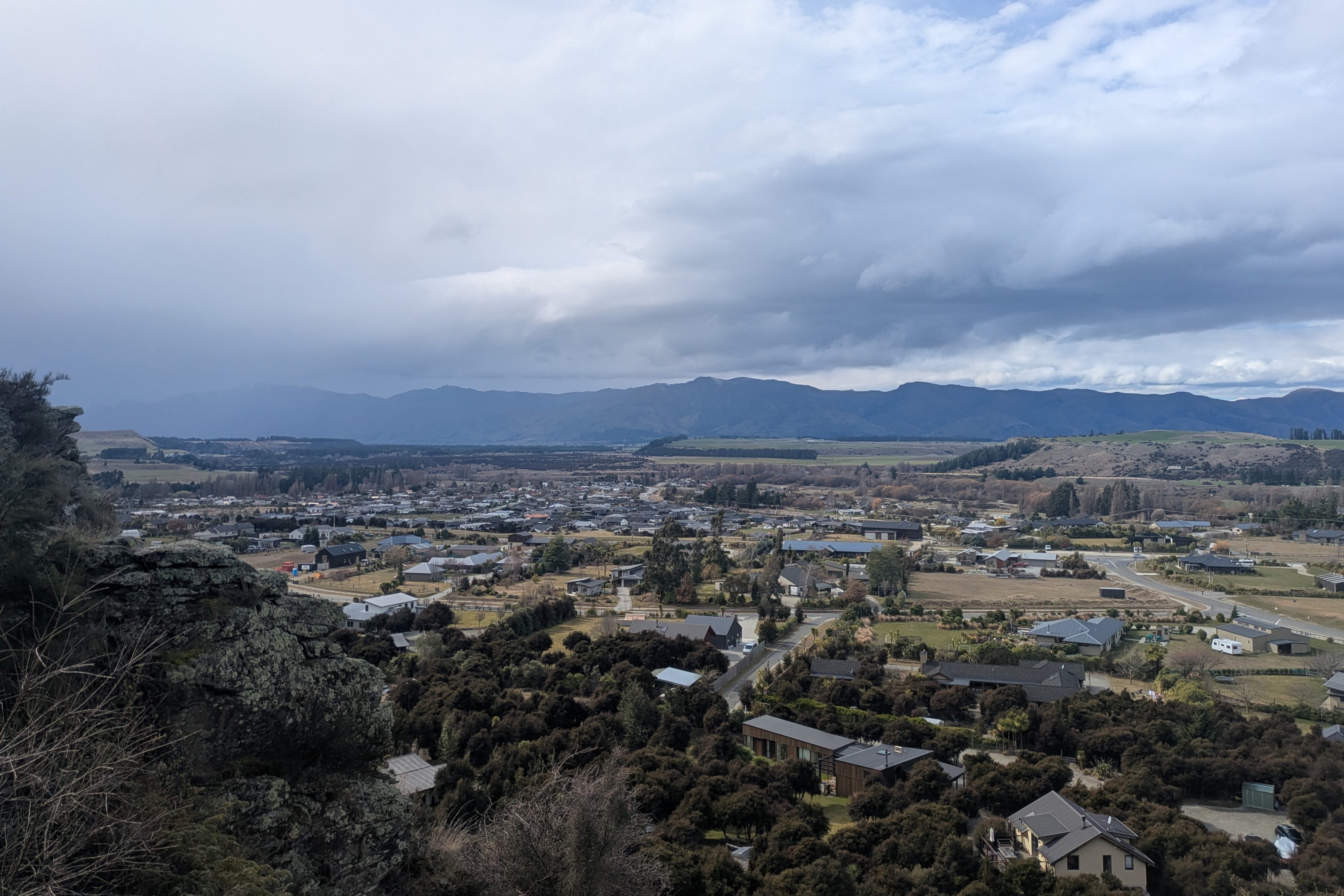
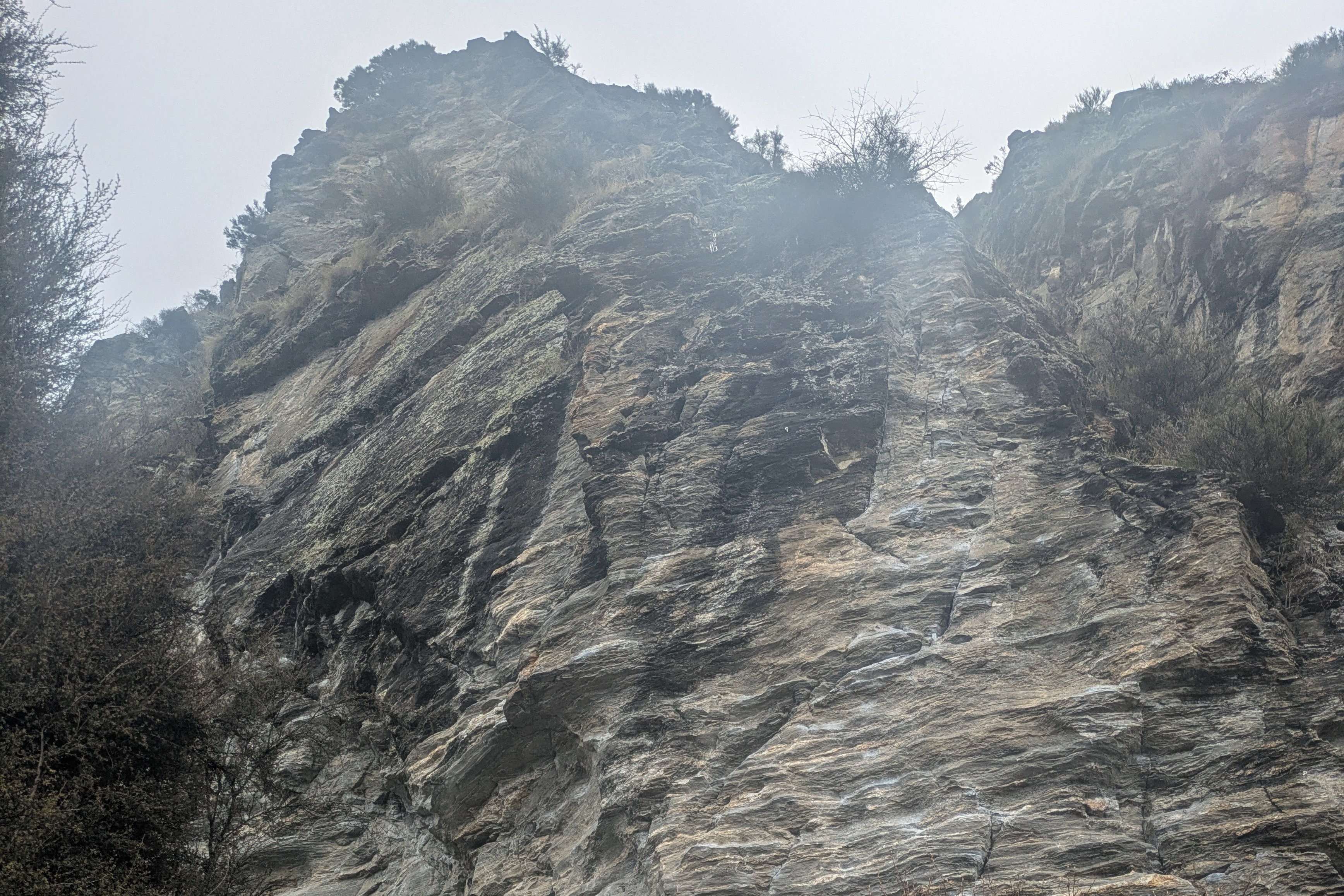
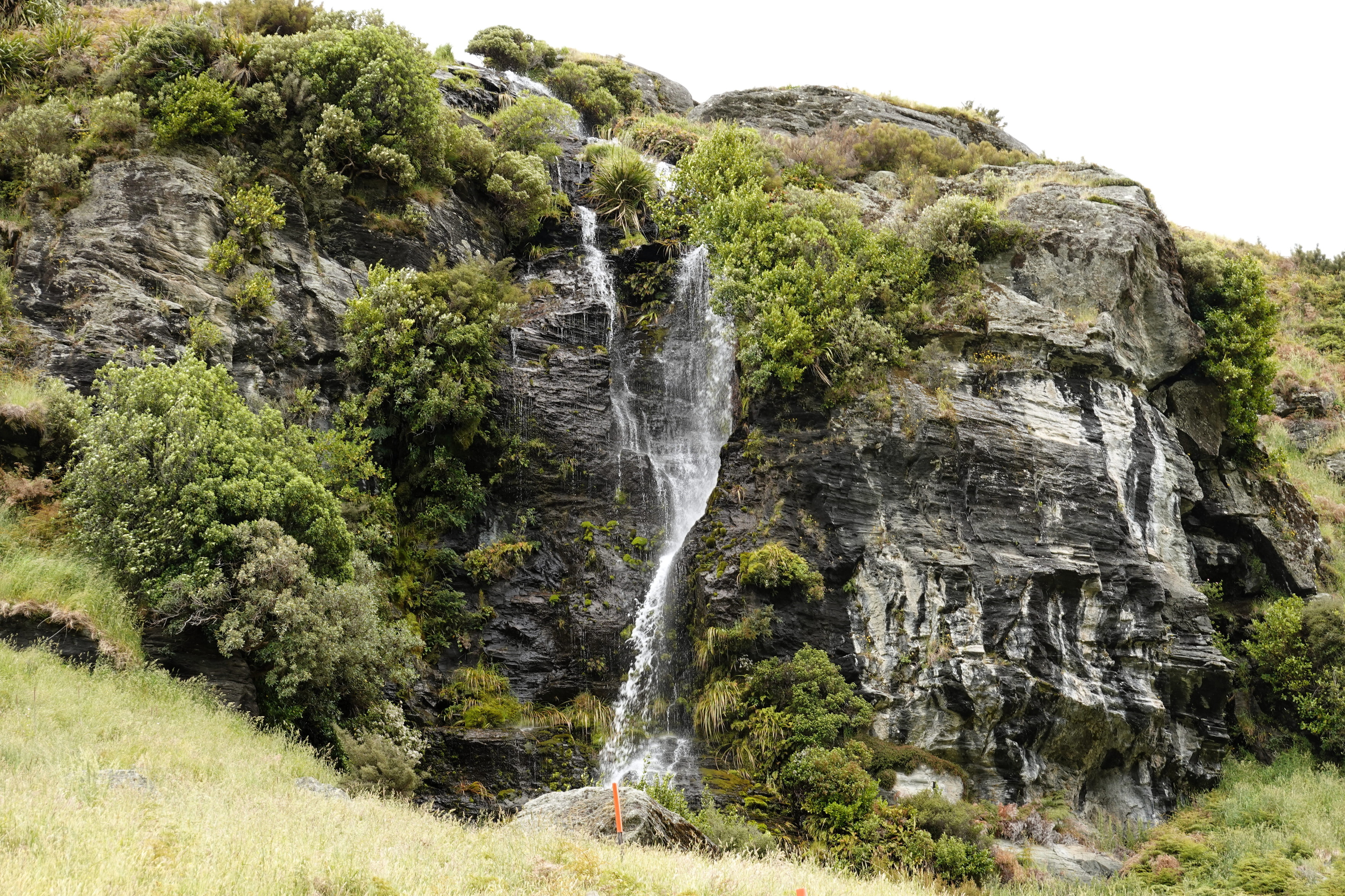
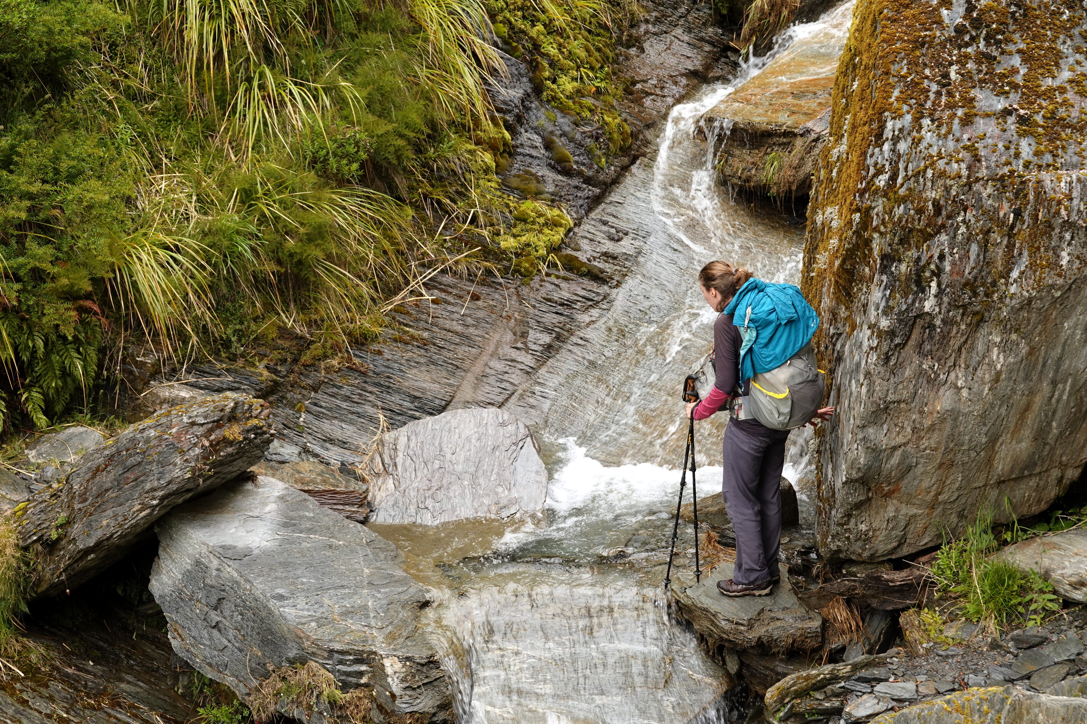
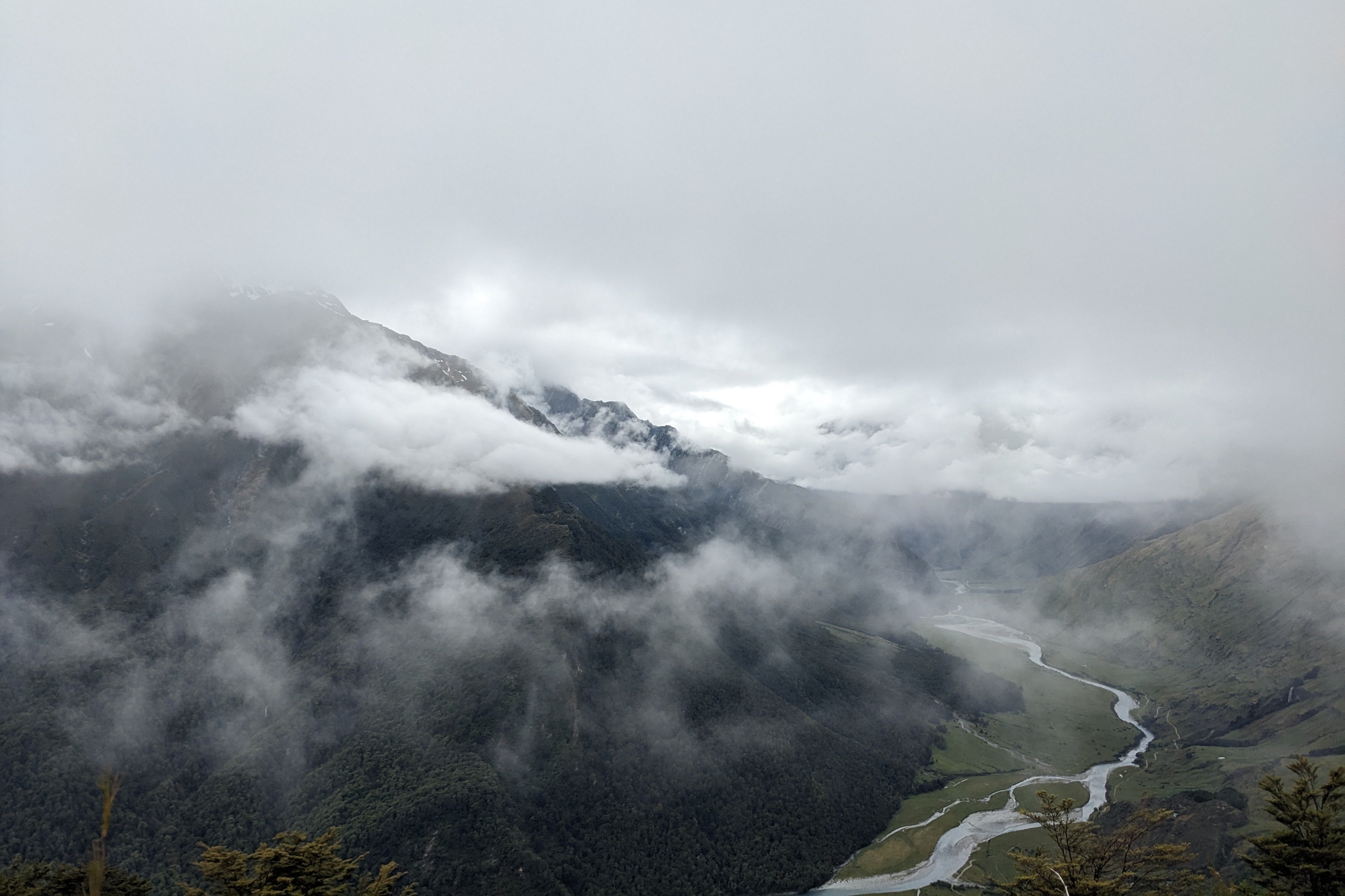
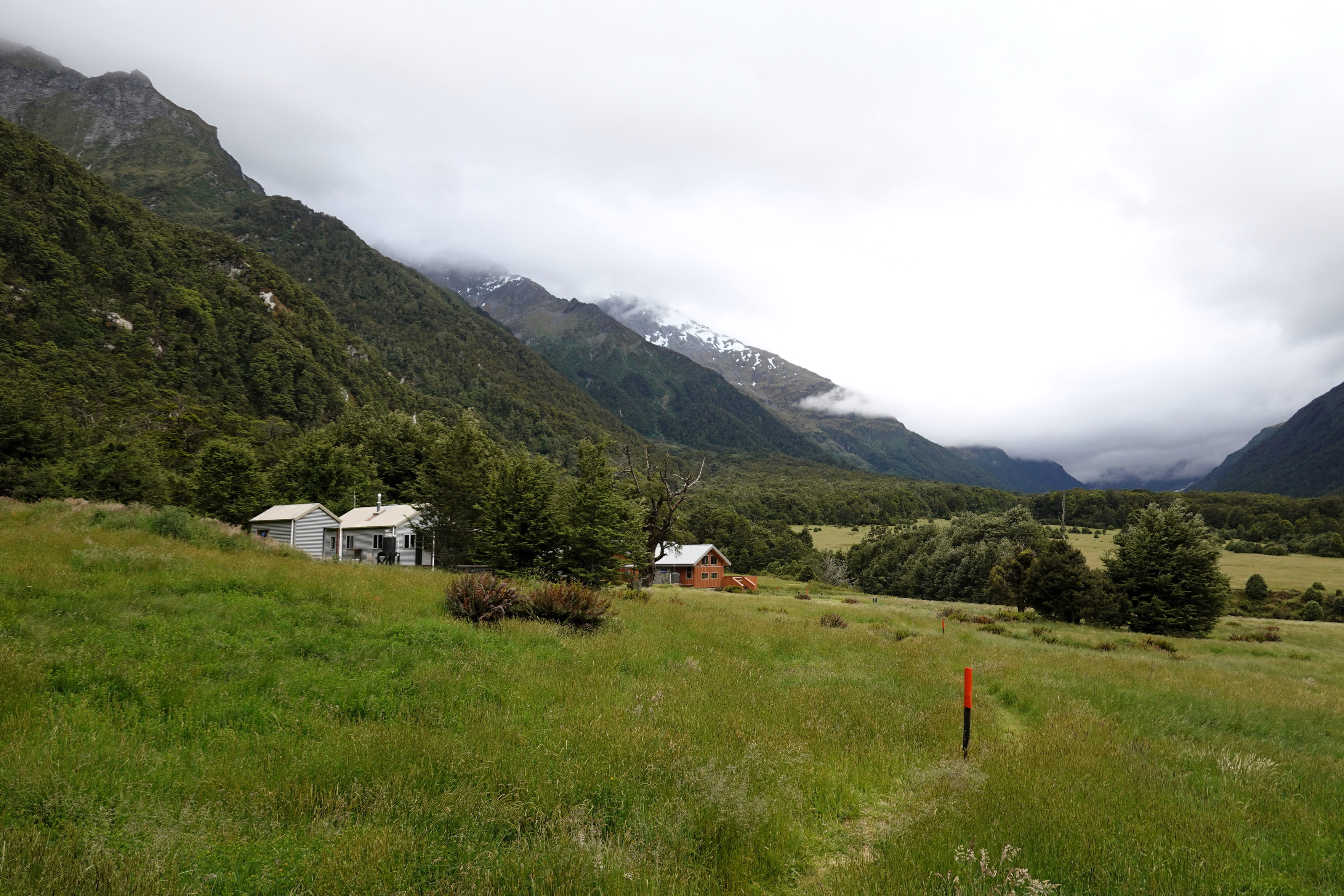
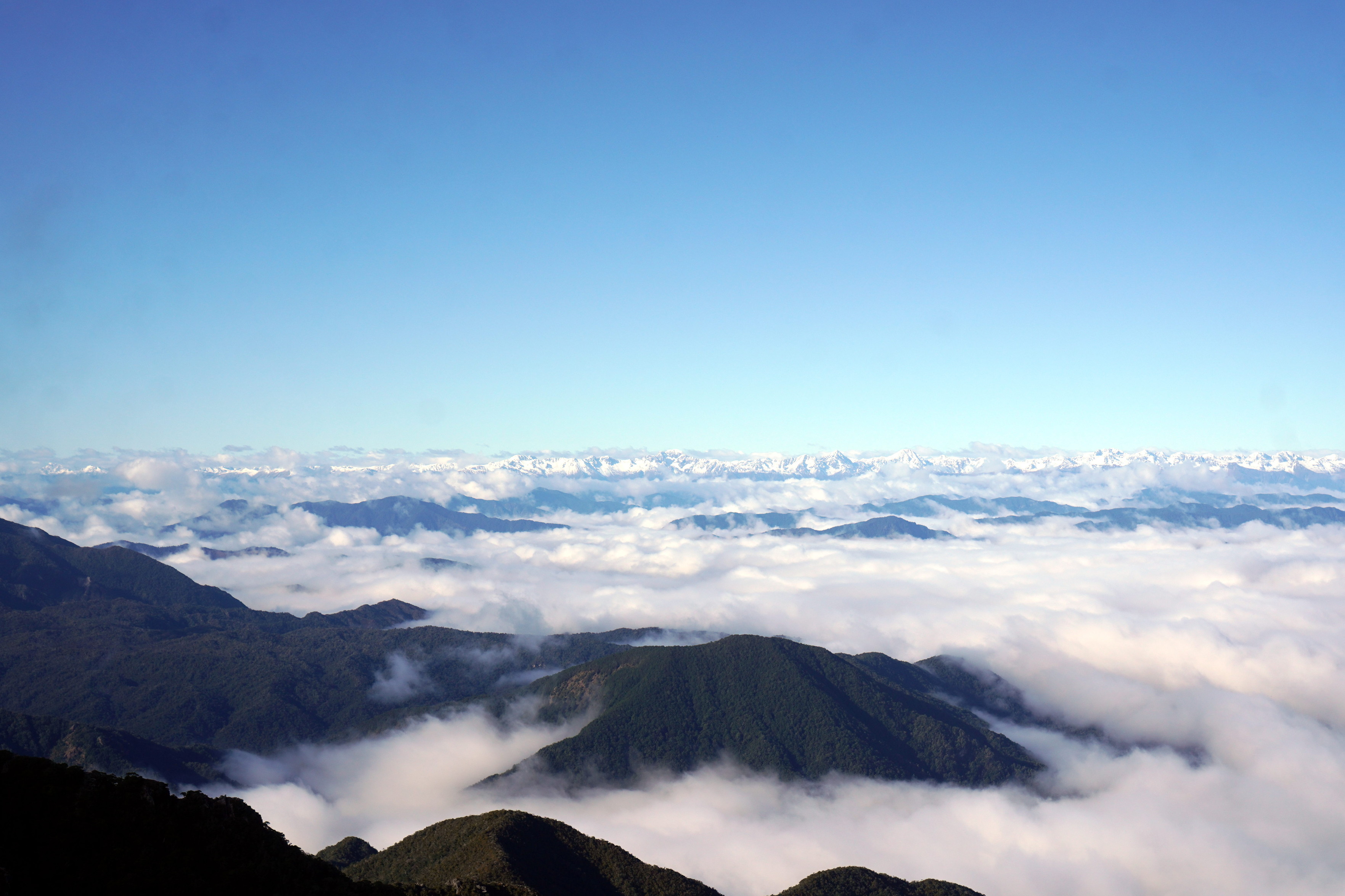
Over on the South Island, there's Wānaka, which is definitely not a city, but it is in a stunning location.

4 media
From Mount Iron one can see the small suburb of Albert Town, with mostly houses and some fields and trees in the distance. To the left there is some evidence that the picture was taken from some rock feature.
Almost all mailboxes in NZ seem to have a "no circulars" sign, though this box allows Mitre 10 circulars.
Used skis and snowboards decorate a fence in Albert Town.
Mount Iron has a bunch of cliffs that one might climb, even on an overcast day like this one.
  • Copy link
  • Flag this comment
  • Block
Patrick Lam :tinoflag:
@va2lam@mastodon.nz replied  ·  activity timestamp 21 hours ago

Driving away from Wānaka, one can go towards Raspberry Creek and then Aspiring Hut in the Matukituki Valley. There are also a bunch of crags this way (not pictured). #tramping #hiking

4 media
The track from Raspbery Creek to Aspiring Hut has a side track to Shotover Saddle, which we didn't take. There are some falls and cliffs on this track.
Going from Aspiring Hut up to Cascade Saddle, there is a pretty tame river crossing.
The Matukituki River and valley in light clouds. The valley itself is the green like grass, while the slopes are treed. You can see some snow on the mountains, barely.
Approaching Aspiring Hut (in the centre of the image, but small), there is one pole with an orange cap (for visibility), as well as the hut itself and two auxiliary buildings to the left.
  • Copy link
  • Flag this comment
  • Block
dch :flantifa: :flan_hacker:
@dch@bsd.network replied  ·  activity timestamp 19 hours ago

@va2lam the Matukituki is a superb wander and I love the ridiculously steep ascent but towards IIRC Bonar glacier.

  • Copy link
  • Flag this comment
  • Block
1+ more replies (not shown)
Patrick Lam :tinoflag:
@va2lam@mastodon.nz replied  ·  activity timestamp 20 hours ago

Moving along the West Coast, here are some pictures from the Old Ghost Road, another multi-day tramp / mountain bike ride, with well-equipped huts along the way. #tramping #hiking #HutLife

4 media
A tree trunk segment in the shape of a heart hangs outside Lyell Saddle Hut. A sleepout is framed inside the heart.
Passing a pair of mountain bikers on the track.
Undercast with the mountains of the Old Ghost Road peeking through the clouds.
Signs indicating that old-school Nokia dumbphones are OK here.
  • Copy link
  • Flag this comment
  • Block
1+ more replies (not shown)

bonfire.cafe

A space for Bonfire maintainers and contributors to communicate

bonfire.cafe: About · Code of conduct · Privacy · Users · Instances
Bonfire social · 1.0.1 no JS en
Automatic federation enabled
Log in
  • Explore
  • About
  • Members
  • Code of Conduct