Discussion
Loading...

Post

Log in
  • About
  • Code of conduct
  • Privacy
  • Users
  • Instances
  • About Bonfire
Mergin Maps
Mergin Maps
@merginmaps@fosstodon.org  ·  activity timestamp last week

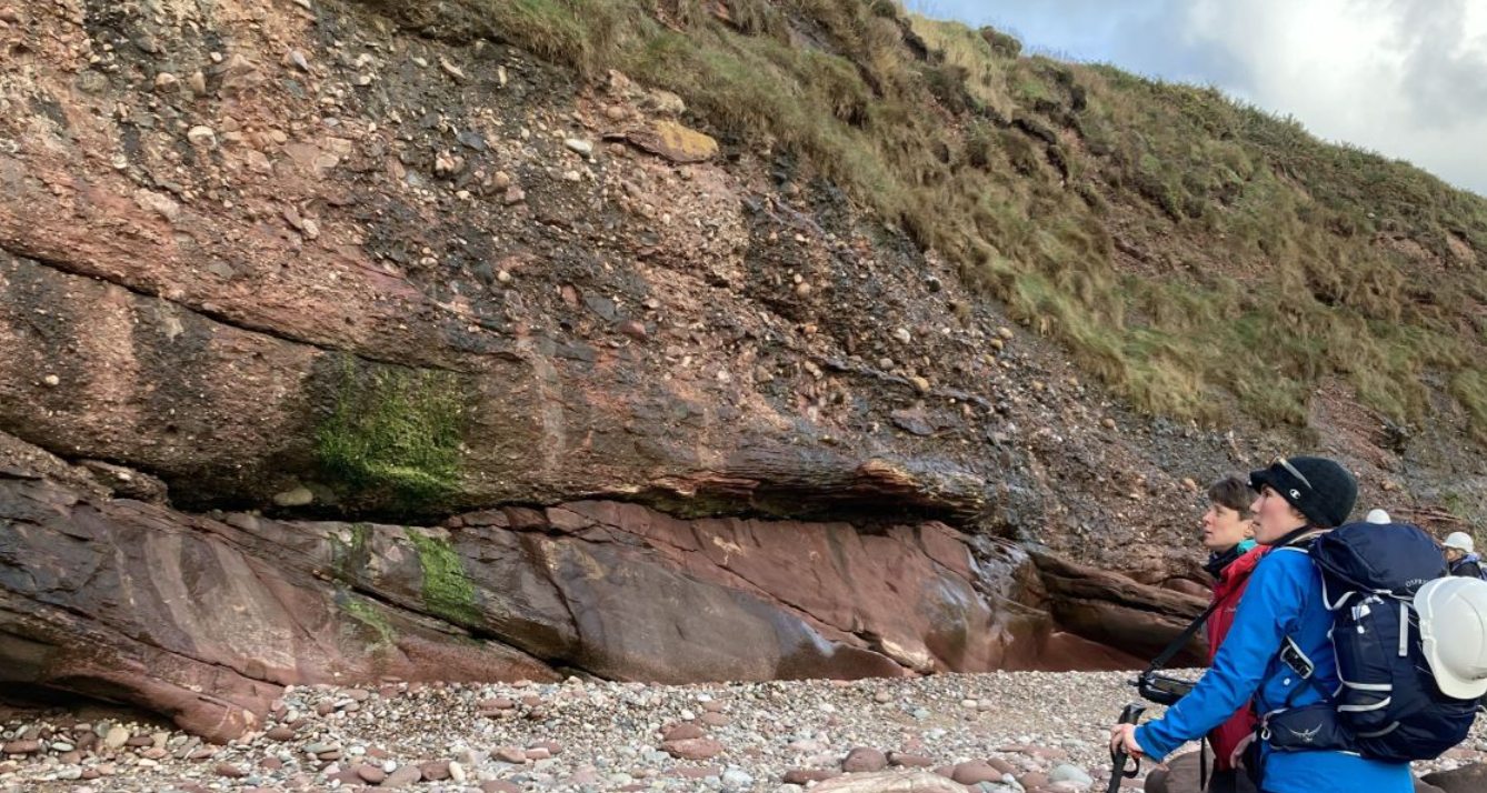
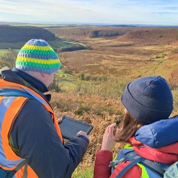
🐘The British Geological Survey (BGS) has moved away from proprietary GIS to a fully open-source stack for field data capture using #qgis and #MerginMaps. 🗺️💻

They’ve built a custom plugin that handles complex database constraints (using GeoPackage/SQLite) directly in the field. This allows for seamless data capture on both Windows tablets and mobile devices without vendor lock-in.

It's a huge win for open science and reproducible research.

Read the case study: https://merginmaps.com/case-studies/open-source-geological-mapping-with-british-geological-survey

Sorry, no caption provided by author

Open source geological mapping with British Geological Survey | Mergin Maps

British Geological Survey modernizes field mapping with QGIS and Mergin Maps, enabling flexible, open-source geological data capture and collaboration.
  • Copy link
  • Flag this post
  • Block

bonfire.cafe

A space for Bonfire maintainers and contributors to communicate

bonfire.cafe: About · Code of conduct · Privacy · Users · Instances
Bonfire social · 1.0.1 no JS en
Automatic federation enabled
Log in
  • Explore
  • About
  • Members
  • Code of Conduct