Discussion
Loading...

Post

Log in
  • About
  • Code of conduct
  • Privacy
  • Users
  • Instances
  • About Bonfire
Ryan Aherin
Ryan Aherin
@r_aherin@mapstodon.space  ·  activity timestamp 5 days ago

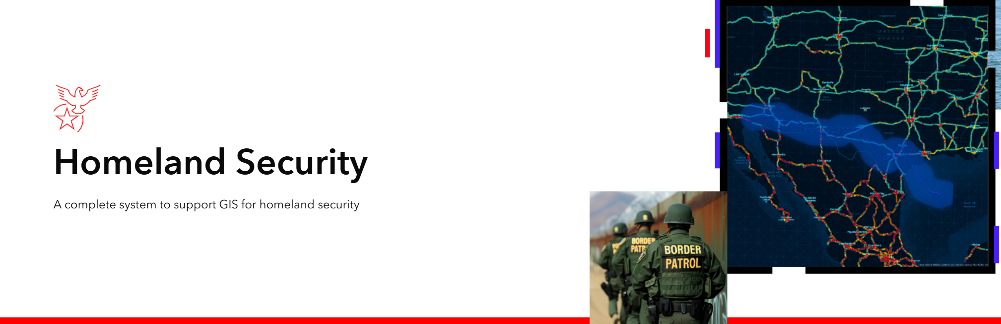
Esri proudly state on their website that they support DHS operations. The same agency that is currently doing door-to-door searches and murdering people in Minnesota. Another reason that UK and European governments need to ditch US global tech companies for open-source solutions

https://www.esri.com/en-us/industries/homeland-security/overview

#gischat

Screenshot of Esri website banner advertising support for Homeland Security with images of border patrol agents

GIS for Homeland Security | Geospatial Intelligence Informs Operations

ArcGIS software for homeland security is a complete mapping & analytics system. Improve national security with actionable, data-driven geospatial intelligence.
  • Copy link
  • Flag this post
  • Block

bonfire.cafe

A space for Bonfire maintainers and contributors to communicate

bonfire.cafe: About · Code of conduct · Privacy · Users · Instances
Bonfire social · 1.0.1-beta.35 no JS en
Automatic federation enabled
Log in
  • Explore
  • About
  • Members
  • Code of Conduct