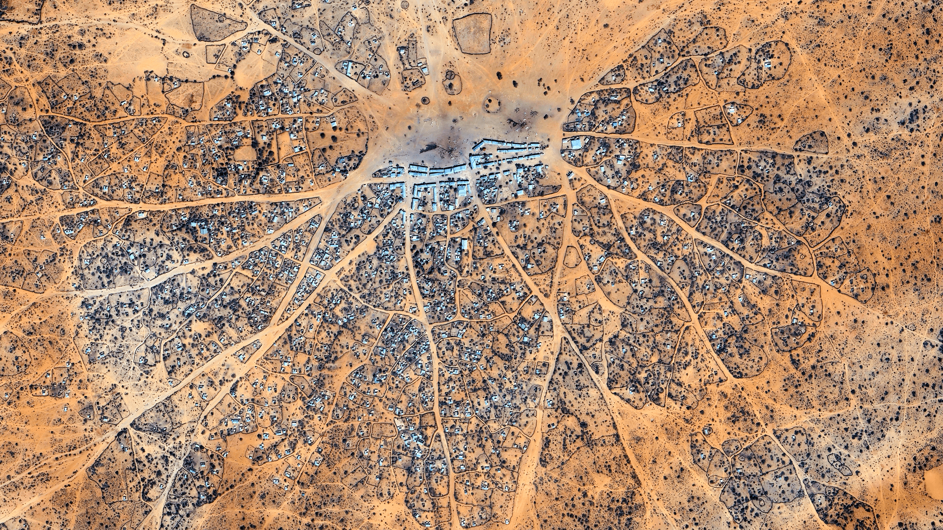
Discussion
Loading...

Post

  • About
  • Code of conduct
  • Privacy
  • Users
  • Instances
  • About Bonfire
Low Orbit Tourist 馃實馃摲
@LowOrbitTourist@pixelfed.fr  路  activity timestamp 3 days ago

Somalia


馃實 : https://maps.app.goo.gl/1LYRp3FEQ4Q7tDwC7

4K link : https://i.imgur.com/bAzmBg4.jpeg


#somalia #4k #googleearth #wallpaper #satelliteview #aerialphotography #abstract #atlas #earthart #texture #earthfromabove #village #roads #desertic #orange #landscape #worldview #dji #earthfromspace #MastoArt #Mapstodon

A satellite picture of a desert village arranged in a radial pattern, with roads extending from a dense central hub surrounded by rectangular buildings in enclosed compounds. The terrain is arid with minimal vegetation.
  • Copy link
  • Flag this post
  • Block
Log in

bonfire.cafe

A space for Bonfire maintainers and contributors to communicate

bonfire.cafe: About 路 Code of conduct 路 Privacy 路 Users 路 Instances
Bonfire social 路 1.0.1-alpha.8 no JS en
Automatic federation enabled
  • Explore
  • About
  • Members
  • Code of Conduct
Home
Login