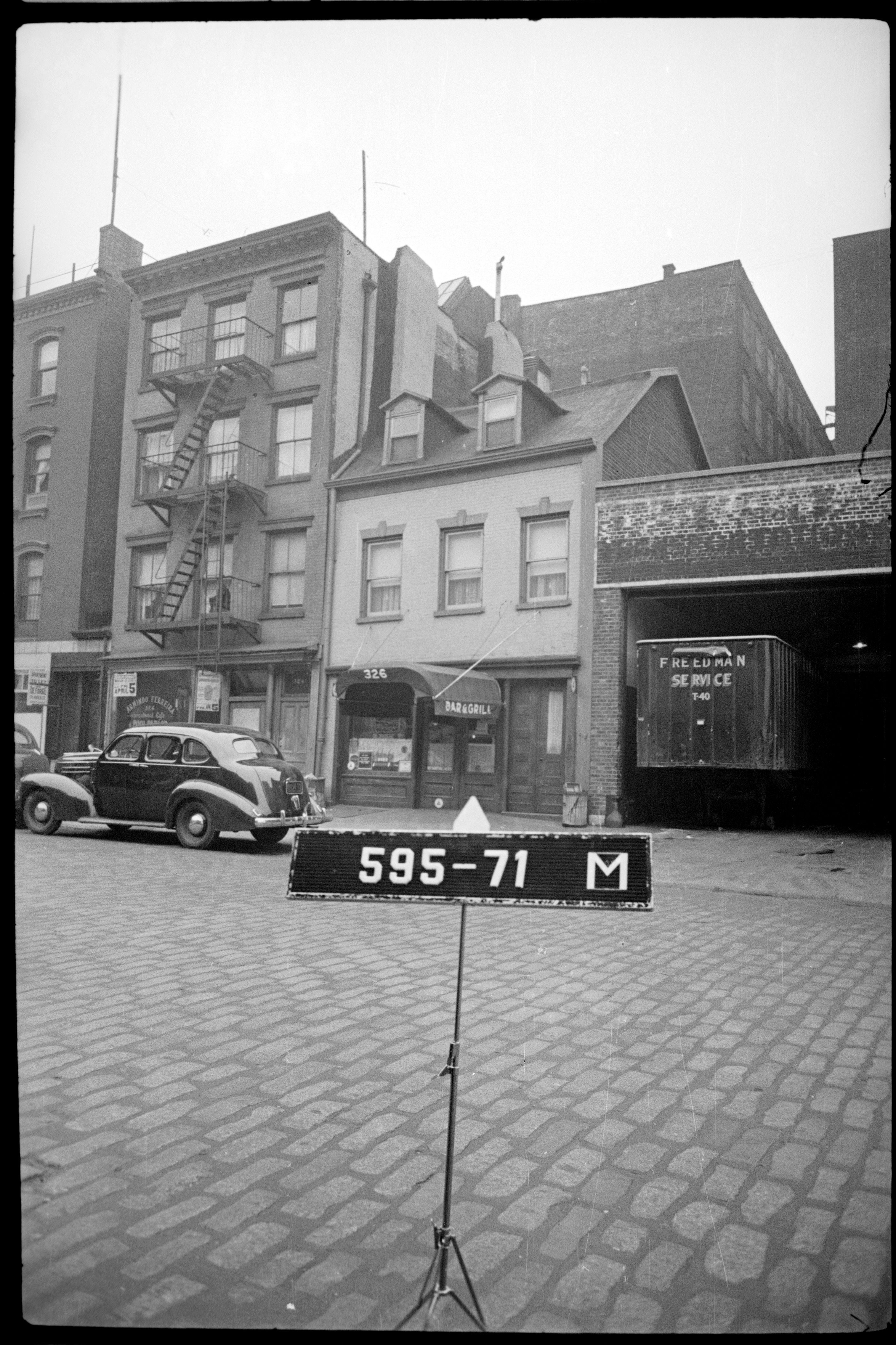
Every now and then I rediscover this amazing website that integrates tax assessment photos taken of almost every building in NYC in the 1940's with a clickable map. Sort what Google street view would look like, if it were 1946.
Post
Replies:
8


@mattblaze there's also a version for the '80s! https://80s.nyc


@mattblaze Seattle has this too, from 1936! And again in the 1940s. But ours aren't all online like this as far as I know, which is a crime. But it is how I have a photo of my old house from the 1930s. :D


@mattblaze I love this map! I zoomed around to find spots I know, like the Ear Inn at the end of Spring St. I hung out there summer 1985 as an undergrad but photo only from return in 2011 https://flic.kr/p/9FSpei


@mattblaze That's awesome! Thank you for sharing.
Nothing on Roosevelt Island, though. There has to be a reason.
@newstik back in the 40’s I believe Roosevelt Islsnd (then called “Welfare Island”) consisted entirely of various municipal hospitals, which wouldn’t have been included in a tax survey. Commercial development there came a couple decades later.
"Named after Dr. S.S. Goldwater, a reform-minded health commissioner and hospital administrator, Goldwater was part of a vision to humanize institutional care in New York City. The hospital provided treatment for patients with tuberculosis, polio, cerebral palsy, spinal cord injuries, and other chronic conditions in an era when many such individuals were hidden away or forgotten by society."
https://rooseveltislanddaily.news/2025/08/08/goldwater-hospital-roosevelt-island-history/