
It's been a long journey (over year since I began), but there's finally now a first public release of the oblique hachures method. With many thanks to @SouthArrowMaps, who significantly refined the methodology from what I began with.
Writeup: https://docs.google.com/document/d/1GFSgxLI5F2UOevCXBG22GBKVbpuKddTl7MoBTrPHB3s/edit?tab=t.0
Script: https://github.com/pinakographos/non-planimetric-hachures
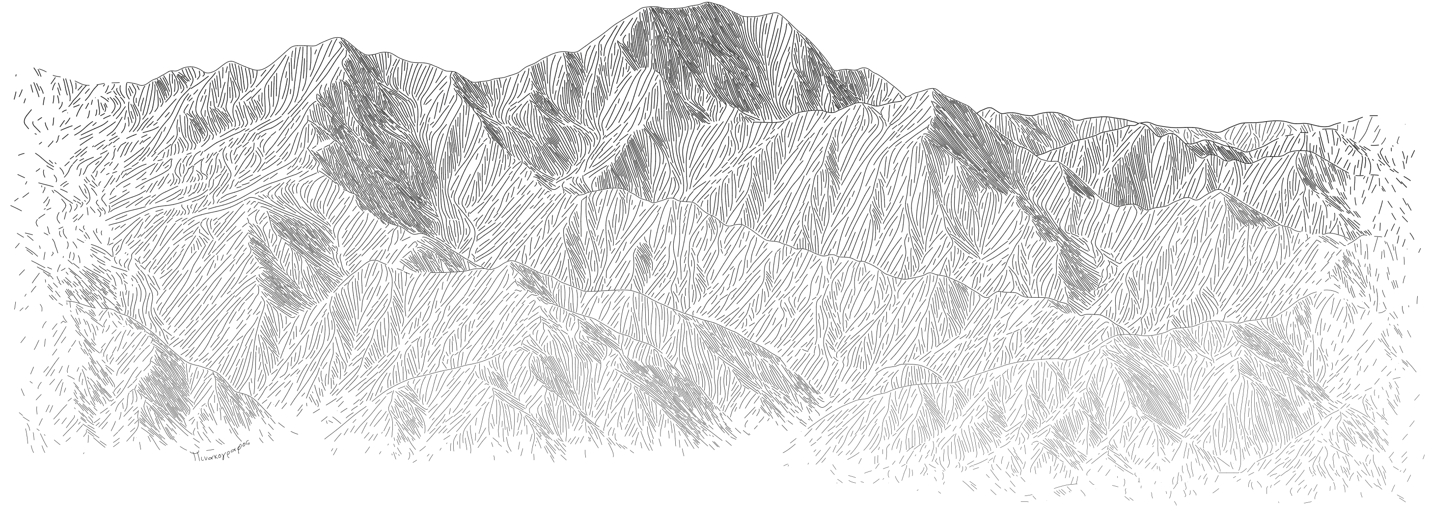
An image of Aoraki, seen from the ground level. It is illustrated with sketch lines in black and white.
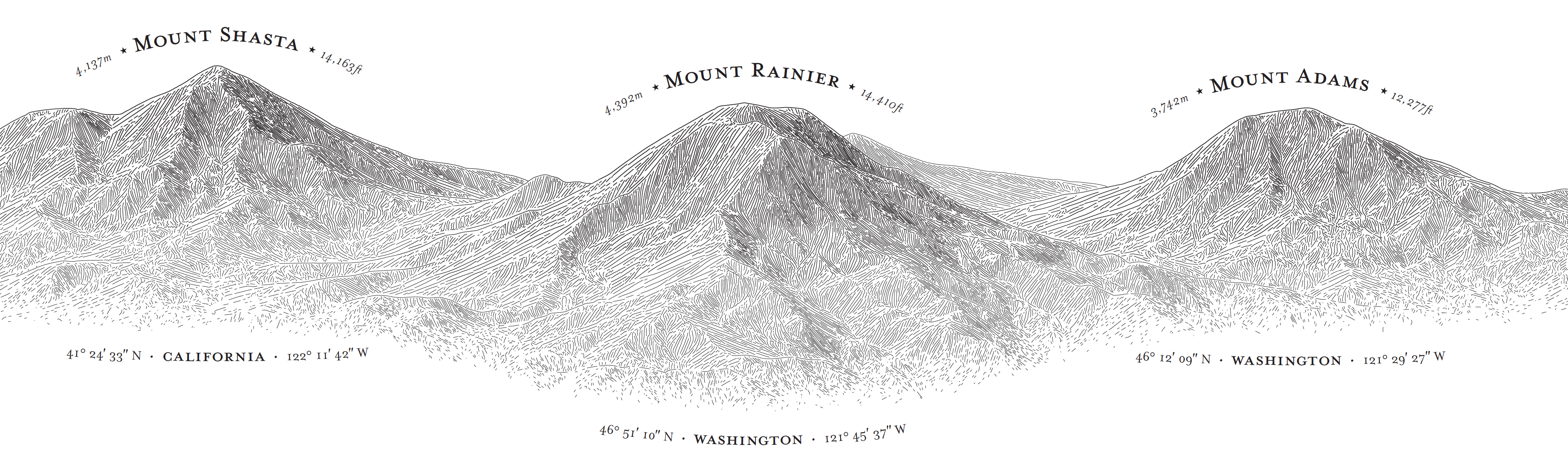
An image of three mountains (Mt Shasta, Mt Adams, Mt Rainier), showing each mountain in an elevation view (i.e. seen from the front). Each mountain is illustrated by means of sketch lines.