Discussion
Loading...

Post

  • About
  • Code of conduct
  • Privacy
  • Users
  • Instances
  • About Bonfire
CoMaps
@CoMaps@floss.social  ·  activity timestamp last month

To calculate the "best" routes and more accurate arrival time estimates, #CoMaps assigns so-called penalties to pedestrian crossings or traffic calming features such as speed bumps.

For this to work, the data needs to be available and correct in #OpenStreetMap. On our blog, CoMaps contributor Jean-Baptiste shares some tips on how you can help with improving this data by finding tagging errors, all without having to do surveying in the field!

https://www.comaps.app/news/2025-10-03/improving-routing-data-osm-errors/
Improving routing data by correcting 1% of errors

How navigation apps take penalties into account
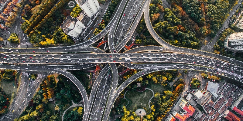
a split image: the left says "improving openstreetmap" in white text on green background, the right half has a stock photo of a complex highway crossing
  • Copy link
  • Flag this post
  • Block
Log in

bonfire.cafe

A space for Bonfire maintainers and contributors to communicate

bonfire.cafe: About · Code of conduct · Privacy · Users · Instances
Bonfire social · 1.0.0 no JS en
Automatic federation enabled
  • Explore
  • About
  • Members
  • Code of Conduct
Home
Login