

I just love the level of detail that #OpenStreetMap can get compared to commercial maps like #GoogleMaps.
Here is a side by side comparison of McMurdo Station, Antartica.
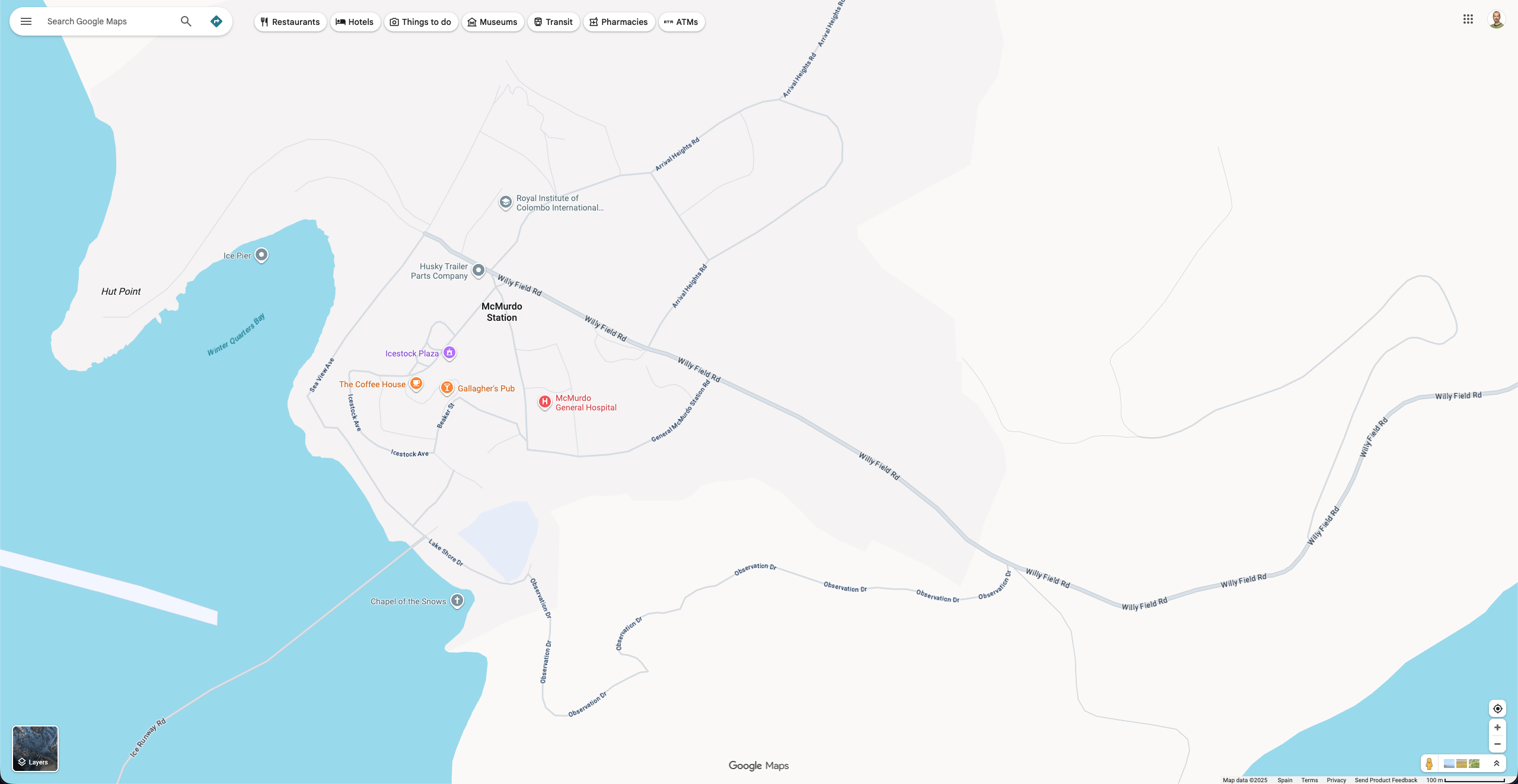
Screenshot of Google Maps centered on McMurdo Station. We see a few main roads and a few landmarks being identified by a marker.
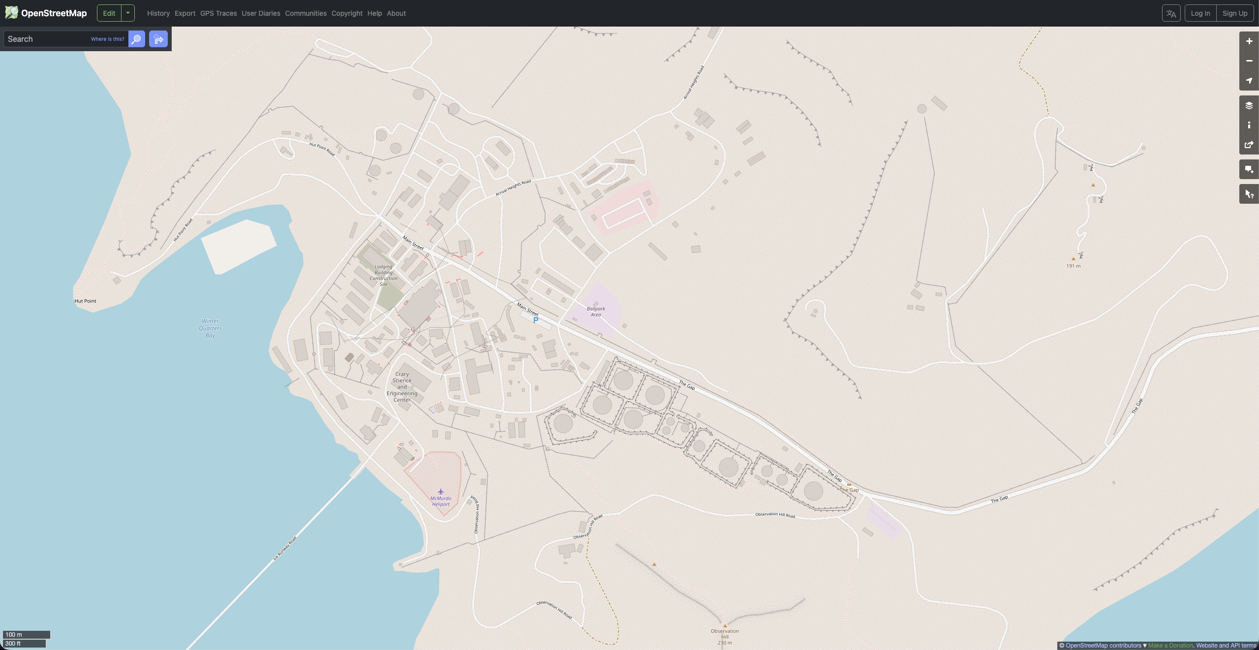
Screenshot of Open Street Map centered on McMurdo Station. We can see buildings, small roads, foot paths, stairs, ramps, barriers, parkings and different area use.