Discussion
Loading...

Post

  • About
  • Code of conduct
  • Privacy
  • Users
  • Instances
  • About Bonfire
Jack of all trades
@jackofalltrades@mas.to  ·  activity timestamp last week

"""
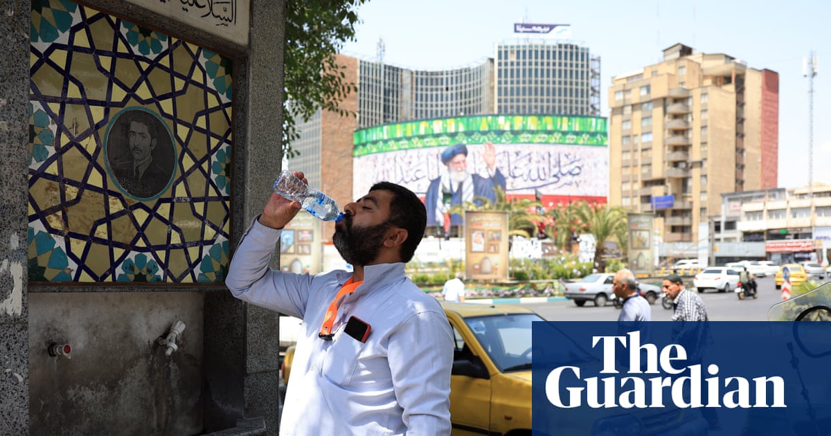
Iran’s president has claimed Iran has no choice but to move its capital from Tehran to the south of the country due to the city’s over-expansion, the lack of adequate water supplies and the growing threat of subsidence.
"""

https://www.theguardian.com/world/2025/oct/02/iran-must-move-its-capital-from-tehran-says-president-as-water-crisis-worsens

#Iran #water #collapse

the Guardian

Iran must move its capital from Tehran, says president as water crisis worsens

Masoud Pezeshkian says subsidence is also ‘a disaster’ in city of 10 million, which consumes quarter of Iran’s water
  • Copy link
  • Flag this post
  • Block
Jonathan Schofield
@urlyman@mastodon.social replied  ·  activity timestamp last week

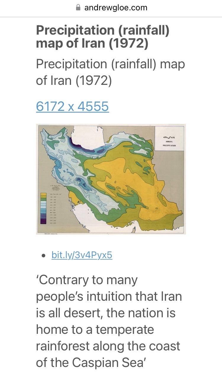
@jackofalltrades astonishing. And now I find myself down an Iranian hydrological rabbit hole. Wonder how much things have changed since this 1972 map 🤔

From andrewgloe.com: 

“Precipitation (rainfall) map of Iran (1972)

Credited to https://bit.ly/3v4Pyx5 (which goes to a Reddit thread). 

‘Contrary to many people’s intuition that Iran is all desert, the nation is home to a temperate rainforest along the coast of the Caspian Sea’.”

The map shows 12 distinct bands of rainfall, with a large more arid region extending across most of the eastern two thirds, a notable exception being the band directly to the south of the Caspian.
From andrewgloe.com: “Precipitation (rainfall) map of Iran (1972) Credited to https://bit.ly/3v4Pyx5 (which goes to a Reddit thread). ‘Contrary to many people’s intuition that Iran is all desert, the nation is home to a temperate rainforest along the coast of the Caspian Sea’.” The map shows 12 distinct bands of rainfall, with a large more arid region extending across most of the eastern two thirds, a notable exception being the band directly to the south of the Caspian.
  • Copy link
  • Flag this comment
  • Block
Log in

bonfire.cafe

A space for Bonfire maintainers and contributors to communicate

bonfire.cafe: About · Code of conduct · Privacy · Users · Instances
Bonfire social · 1.0.0-rc.3.13 no JS en
Automatic federation enabled
  • Explore
  • About
  • Members
  • Code of Conduct
Home
Login