E15
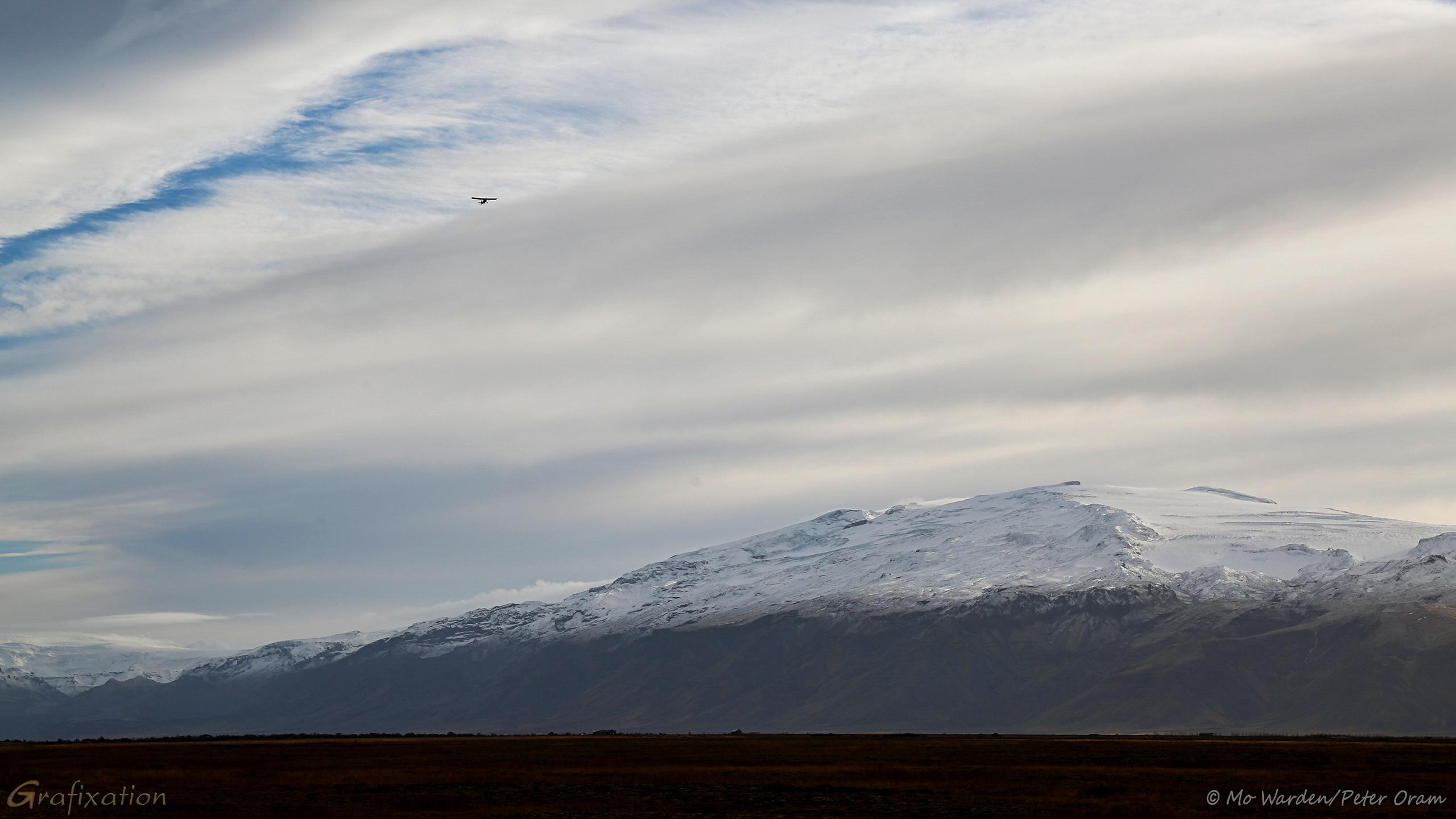
Eyjafjallajökull¹ is one of the smaller ice caps of #Iceland, but it covers the caldera of a volcano with a height of 1651m (5417ft) which erupted in 2010.
As we approached, in the distance we could see a sightseeing flight crossing the peak.
The empty caldera left behind by the eruption.
The glacier Gígjökull dropping to ground level.
Valley leading to Þórsmörk, with the western side of Katla in the distance.
¹ 𝘼𝙞𝙮𝙖-𝘧𝘺𝘢-𝘭𝘢-𝘺𝘰𝘩-𝘬𝘵𝘭
A final colour photo of the valley at the foot of the volcano. The glacier is visible again, but the peaks are not. In the foreground is a gravel bed with a river running through it, leading to a hillside of brown vegetation and, beyond that, another flattened peak.
The mountain's flank, its slopes showing the snow line clearly. From the centre of the slope, a ribbed glacier is dropping. The base is hidden by an outcrop of rock.
A close-up of the volcano's summit. Two distinct peaks are rising on either side of an ice-filled depression. Ribs of rock and ice surround the heights, and dark rock is visible in a few places. The sky is grey and overcast.
A colour photo of a cloudy sky above an impressive snow-capped mountain. A flattened icefield is visible from the summit on the nearside. The foreground is dark and indistinct. There's a light aircraft high in the top left of the shot.