Discussion
Loading...

Post

  • About
  • Code of conduct
  • Privacy
  • Users
  • Instances
  • About Bonfire
Conspiracy of Cartographers
@ConspiracyOfCartographers@mastodon.social  ·  activity timestamp 4 months ago

The process for making a #Petrofuture map...

Step 1—Digitize Map
Step 2—Georeference Map
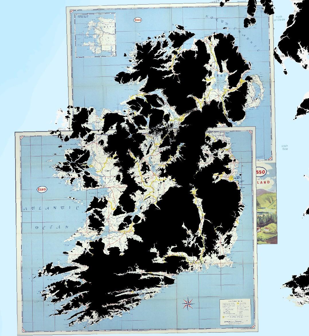
—> Step 3—Add 66m Sea Level Mask (shown here is the 66m sea level mask on top of two georeferenced vintage Esso maps of Ireland)

*I used m-dashes. Please don't flag me as ai.

Two vintage Esso road maps of Ireland--north and south, shown georeferenced in GIS software. On top of the two overlapping maps are black areas showing where the land is above 66m. Ireland becomes a series of smaller islands.
  • Copy link
  • Flag this post
  • Block
Log in

bonfire.cafe

A space for Bonfire maintainers and contributors to communicate

bonfire.cafe: About · Code of conduct · Privacy · Users · Instances
Bonfire social · 1.0.0-rc.3.21 no JS en
Automatic federation enabled
  • Explore
  • About
  • Members
  • Code of Conduct
Home
Login