
@MBridegam @w8emv This is the Sanborn map I could see that link. Is this the one you mean? I can definitely figure out the location of East Point Rd, but I can't make out which has the number 67 has for me these look blurry. Which one do you think is 67?
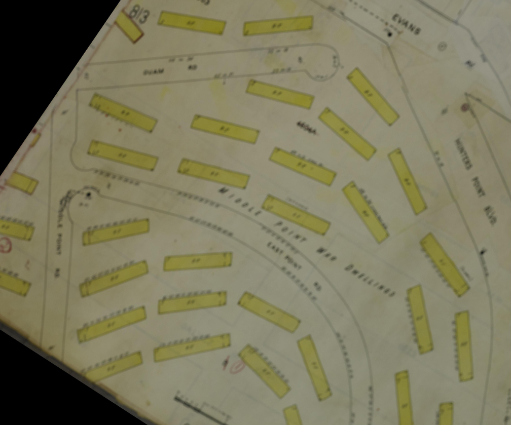
Here are better images from the ProQuest version of the Sanborn via San Francisco public library card access. I realized that all of the long buildings are marked "8F", I wonder if maybe it meant eight family units, since the one closest to that large ink dot and to the word "Blvd" has eight unit numbers of which the one farthest to the right is 67.
2 media