Instance directory: mapstodon.space
🌍 Cartographe // Responsable du service infographie au journal Les Echos // Chroniqueur hebdomadaire chez Quotidien // Cartes accidentelles, mais pas que
Cofundador de Geotux y Grupo de Usuarios de QGIS Colombia. Interés por el FOSS Geoespacial.
He / Him
Likes: knitting, sewing, OpenStreetMap, foraging, dumpster diving, gardening.
Husband, father of three.
During the day, you can find me doing cadastral mapping and sys admin stuff for Kendall County, Illinois.
Explore the world throughout history – and local history, and prehistory. The #TimeMachine of maps, created by people like you and dedicated to the #PublicDomain. Charter project of @OpenStreetMapUS and companion to @openstreetmap.
Learn more: https://osm.wiki/OHM
(Mastodon account run by @jeffme @mxn and bridged as https://bsky.app/profile/ohm.mapstodon.space.ap.brid.gy )
#OpenHistoricalMap #OpenStreetMap #DigitalHumanities #OpenData #HGIS
The world in a file. Open source!
(Géo)Photographe. Enquêtes géo-photographiques sur les rivières urbaines
Octobre 2024 : livre chez Filigranes éditions
Novembre-Décembre 2024 : exposition à l' Ecole d'Architecture de Saint-Etienne
Janvier-Mars 2025 : exposition au Bleu du Ciel (Lyon)
Open Source GIS developer and co-founder of Sourcepole 🇨🇭.
#rust programmer, #paragliding, #railway tours.
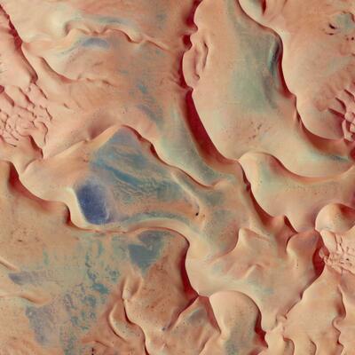
#GoogleEarth is my copilot. Pictures of places I've never been. Hi-res / 4k on tumblr
#EarthAsArt #AerialPhotography
Account by @Captain_Coke
Active since 2016 (on Tumblr) / I have never made and will never make NFTs of my work.
Professor of Geography and Director of the Spatial Institute at Western Washington University. Biogeographer, dendrochronologist, climatologist, cartographer, GIS analyst, author of the Salish Sea Atlas.
Open demographic data for decision making.
Geospatial software engineer | Anything related to coding and GIS & Remote sensing excites me | Outdoor sports | Mountaineering
blog: https://oneprojectatatime.nl
developing: https://mapstyler.com
Compte personnel où je suis des gens et des robots parlant de :
- arts
- photographie
- histoire
- géomatique / cartographie & #opensource & #qgis

Physical Geographer and independent map maker under the name Studio Haverstraat #GIS #Illustrator #QGIS #maps #cartography
Géomaticien - Cartographe fan de géomatique et de cartographie.
Encore et toujours en train d'apprendre