
RE: https://hachyderm.io/@datarama/117214107554538348
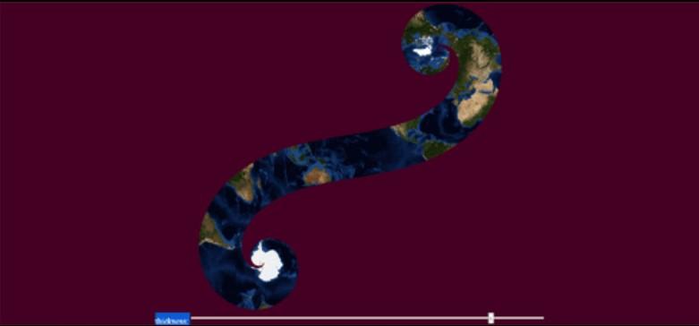
I am *so* here for watching people advocate for their favourite map projections. This might be my favourite type of nerd debate.
Thank you, Fediverse.
(Also: https://xkcd.com/977/)
Discussion
RE: https://hachyderm.io/@datarama/117214107554538348
I am *so* here for watching people advocate for their favourite map projections. This might be my favourite type of nerd debate.
Thank you, Fediverse.
(Also: https://xkcd.com/977/)
@sundogplanets Baseball in a cup in it's side (Universal Transverse Mercator) for north-south aligned areas of interest where you need to keep distance distortions low and traffic cone on a basketball (Lambert Conformal Conic) for east-west. Engineers and surveys still need to turn angles and travel distances to land navigate and distance distortions are easy to correct. Where the sportsball intersects the container there are no distance distortions, nearby they are small enough to ignore.
@sundogplanets I'm partial to the Kavrayskiy VII projection.
@sundogplanets My favorite map projection is
@sundogplanets the ultimate goal is to hang a good Dymaxion projection map on the wall of my Dymaxion house... which likely has no flat walls...hmmm
@sundogplanets i don't care what anybody says, Greenland *is* big.
@sundogplanets I have never understood this “debate”. Every projection from a sphere to a plane distorts in some fashion but preserves some properties.
Pick the one that fits your needs at the moment and pick a different one when your needs change.
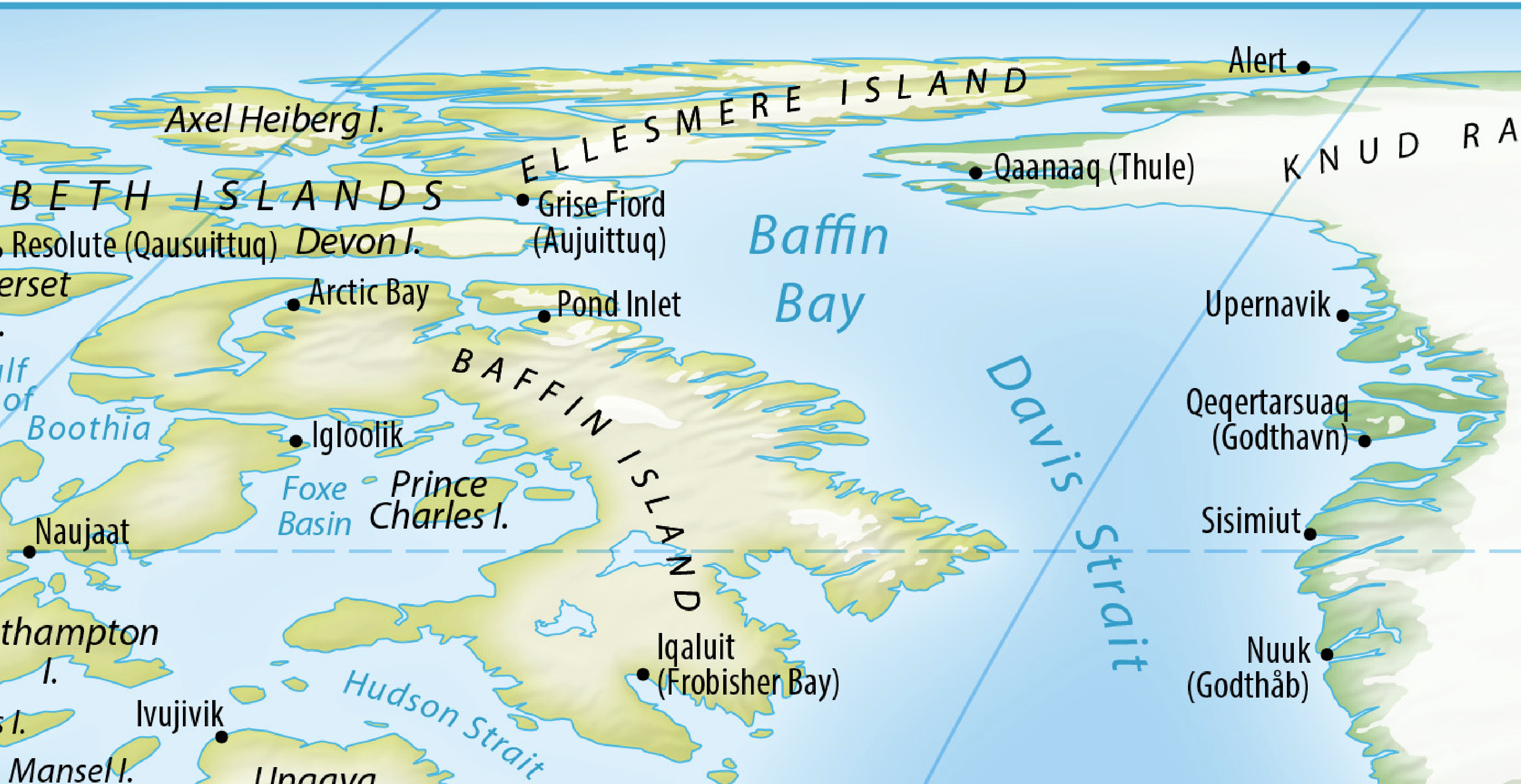
@sundogplanets Get used to Ellesmere Island betwen West to East instead of South to North, and Alert being at East end of island instead of being on west coast neat the northern tip. Takes some getting used to.
@sundogplanets The makers of the Equal Earth projection make their initial presentation: (their web site was taken down after UN vote, where US was sole voice opposing).
@sundogplanets Gerardus Mercator built his map projection in 1569 to help ships navigate. While the land distance between lines of latitude and longitude is not constant, the angular distance is. And ships navigating by stars/sun always navigated by angles. (calculating their latitude/longtitude based on position/height of stars/sun). And for that Mercator was well suited. To those ships, 5° of longitude was equal no matter what latitude they were at.
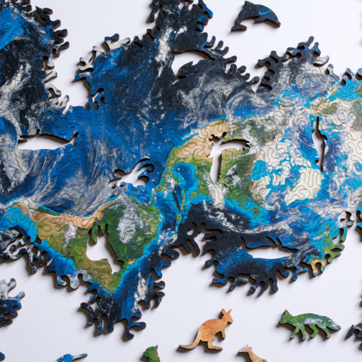
@sundogplanets @datarama This puzzle uses either the same projection, or a very similar one. It's really fun to build because of everything in the rest of the thread https://n-e-r-v-o-u-s.com/shop/product.php?code=368
@sundogplanets Perhaps of special interest for you, the eclipse puzzle (see also the mini version): https://n-e-r-v-o-u-s.com/shop/product.php?code=422
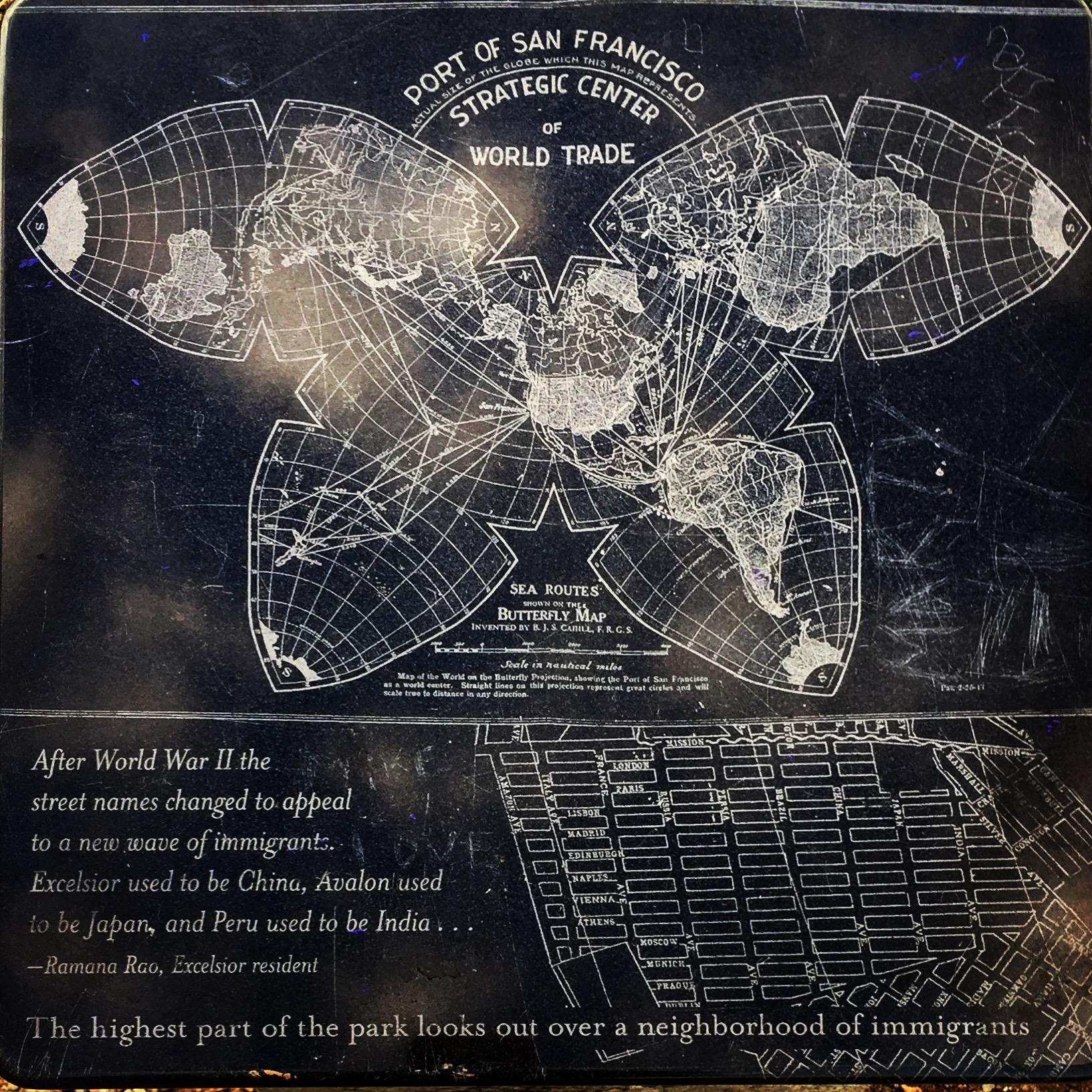
@sundogplanets i love Buckey's dymaxion (the people of earth connected etc) but also like the Cahill which can even be seen in the wild in SF up at park that overlooks the Excelsior neighborhood
🤓

Install bonfire.cafe
Get the full app experience