![Cartes [🤖]](https://amicale.net/system/accounts/avatars/113/877/452/511/476/312/original/feb94f19a7b73d06.jpg "Cartes [🤖]")

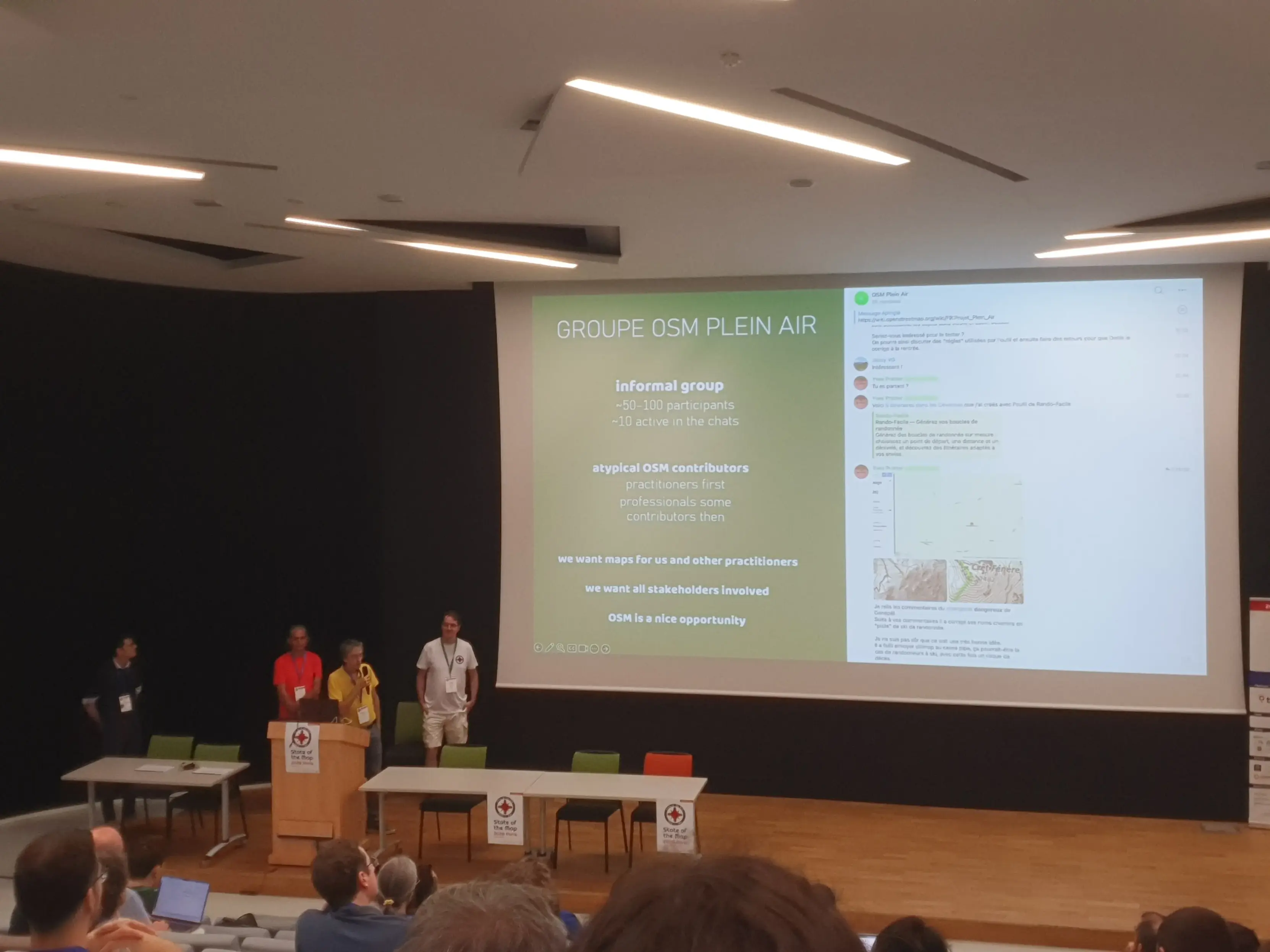
The French "outdoor" team presents their work.
They're simply building the best open-source outdoor map.
2 media files
Discussion
The French "outdoor" team presents their work.
They're simply building the best open-source outdoor map.
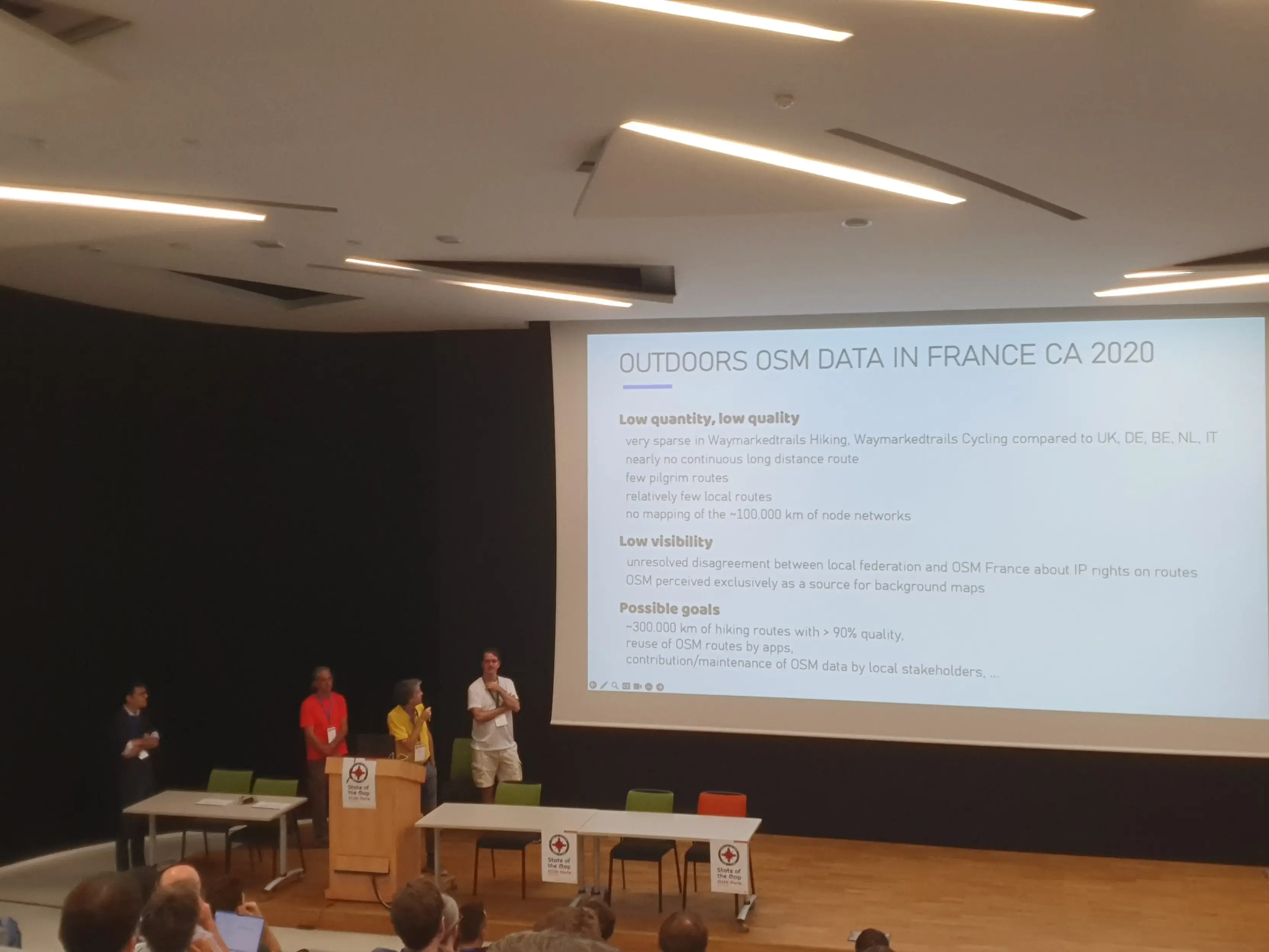
The situation in France was bad before the intervention of the group.
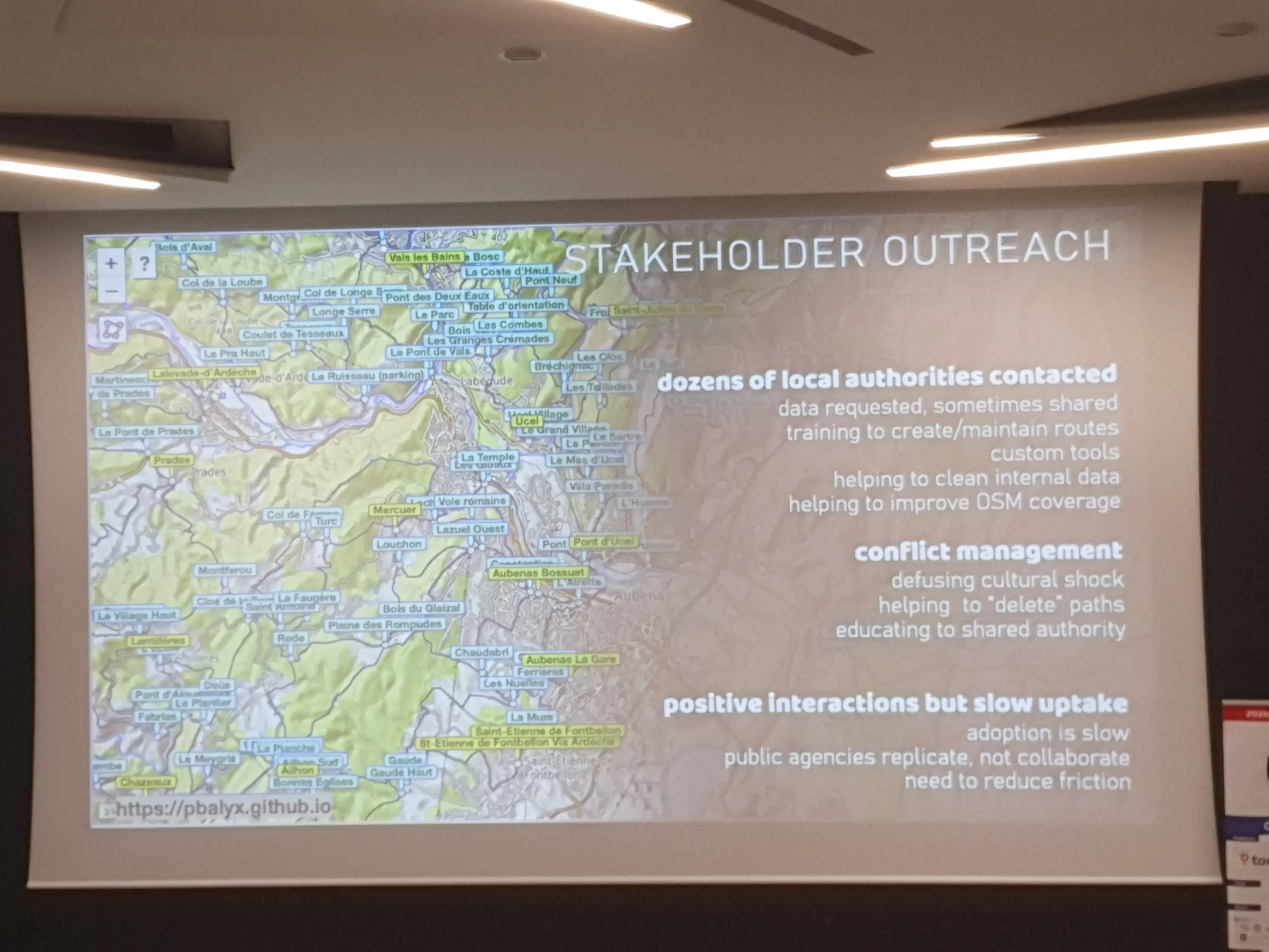
They want to work with the existing actors.
We work together :)
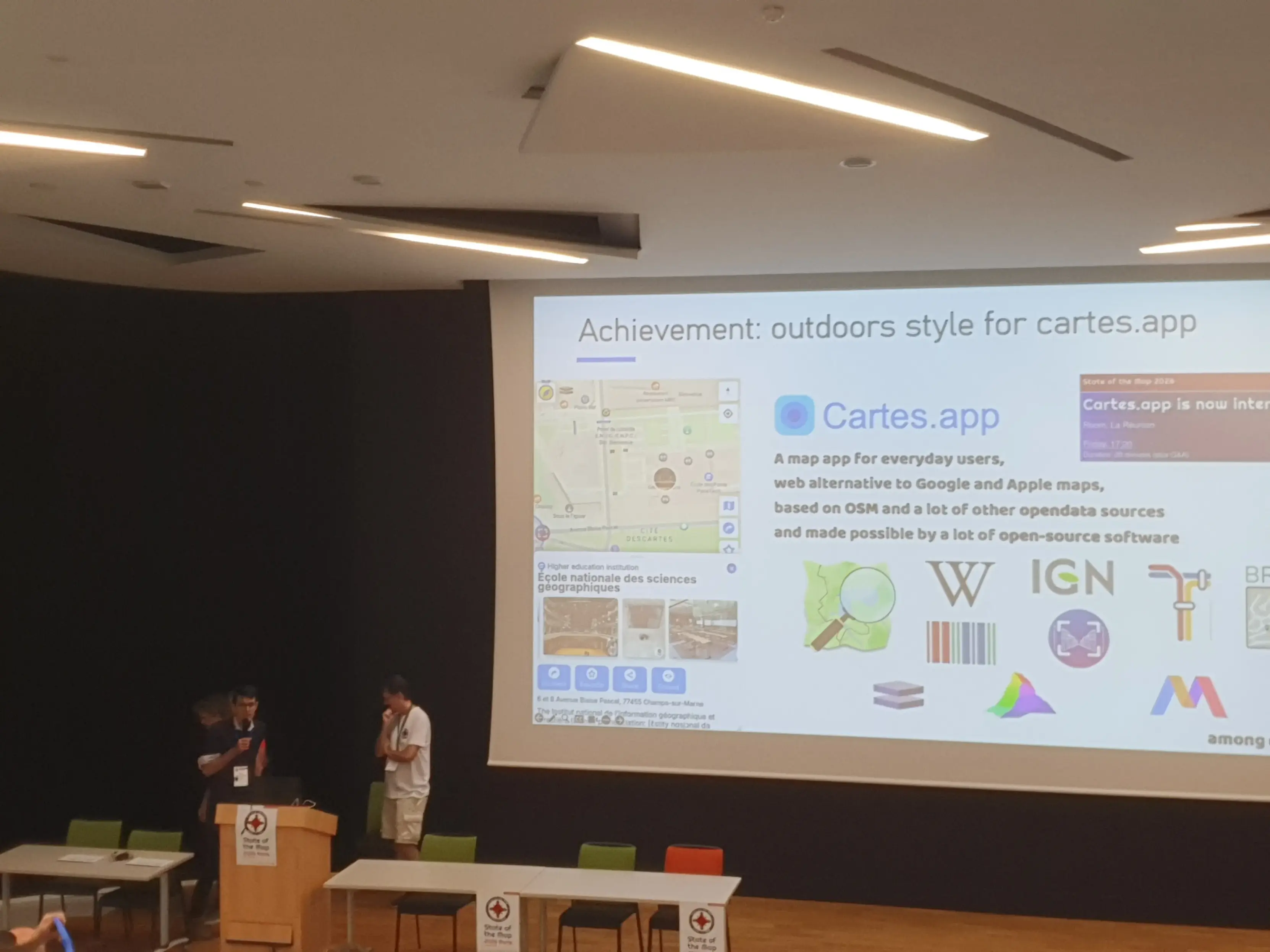
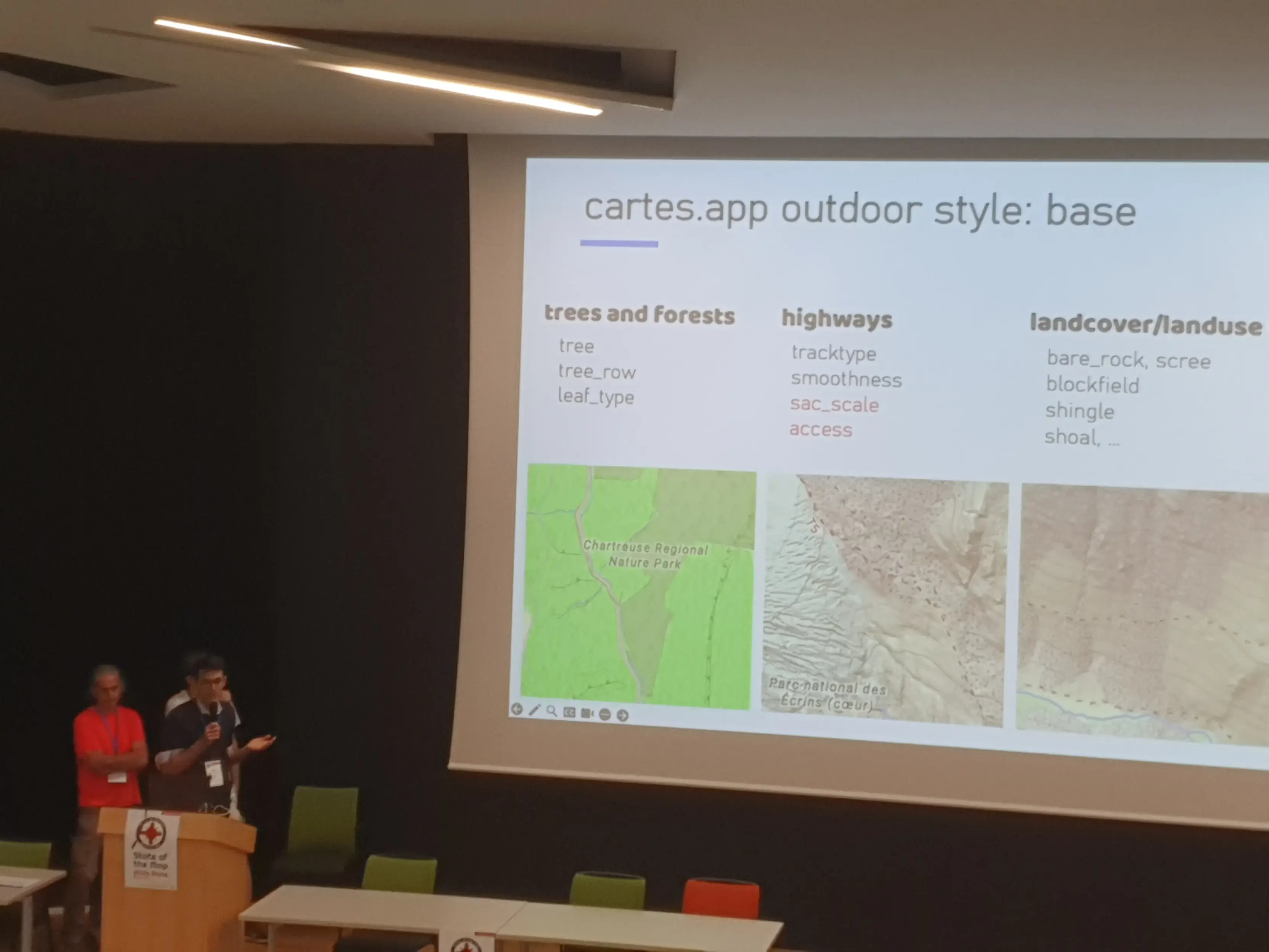
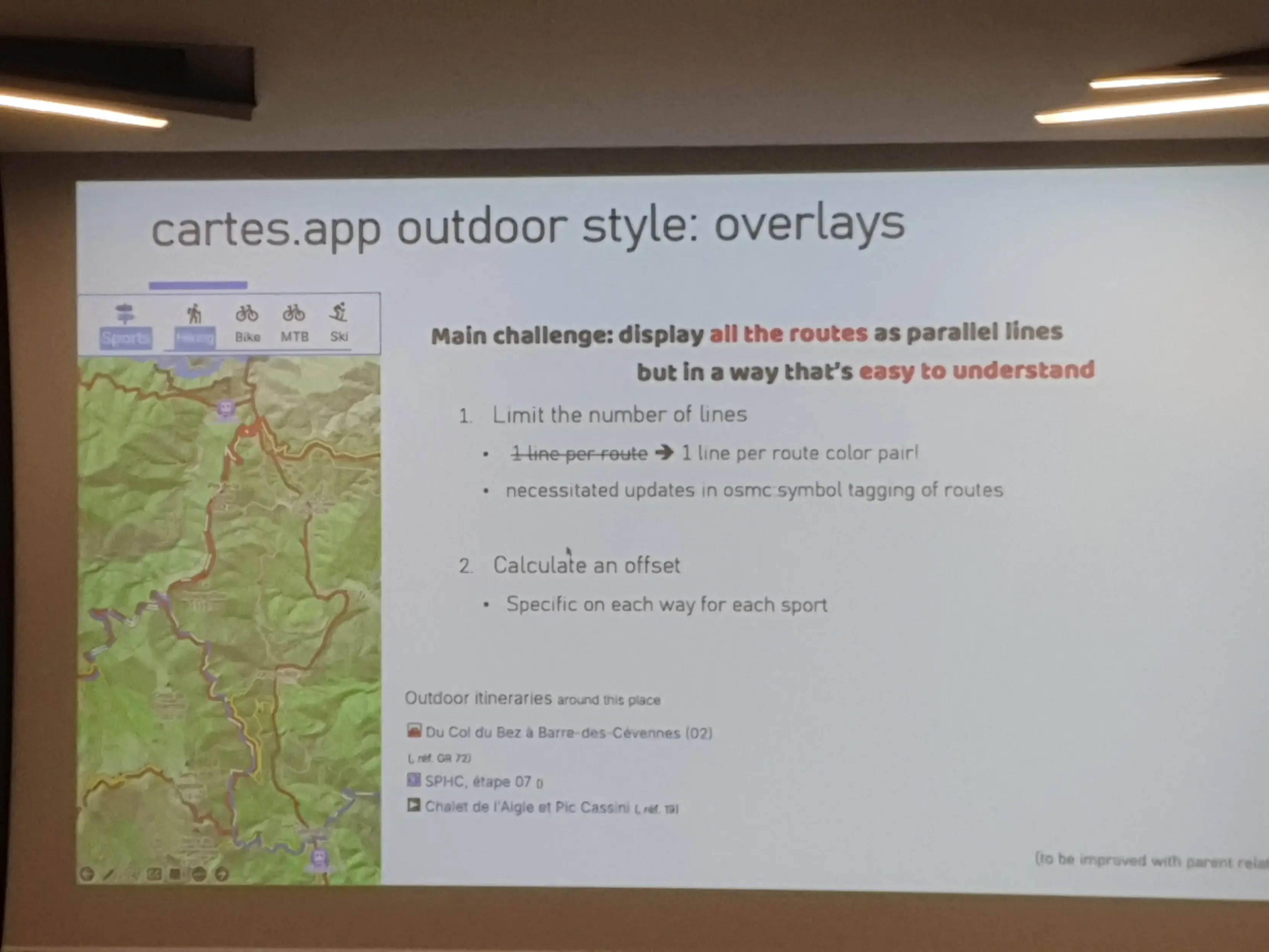
Étienne shows what we had to do for outdoor maps : include the specific data in our tiles, and create a new style.
A sophisticated style.
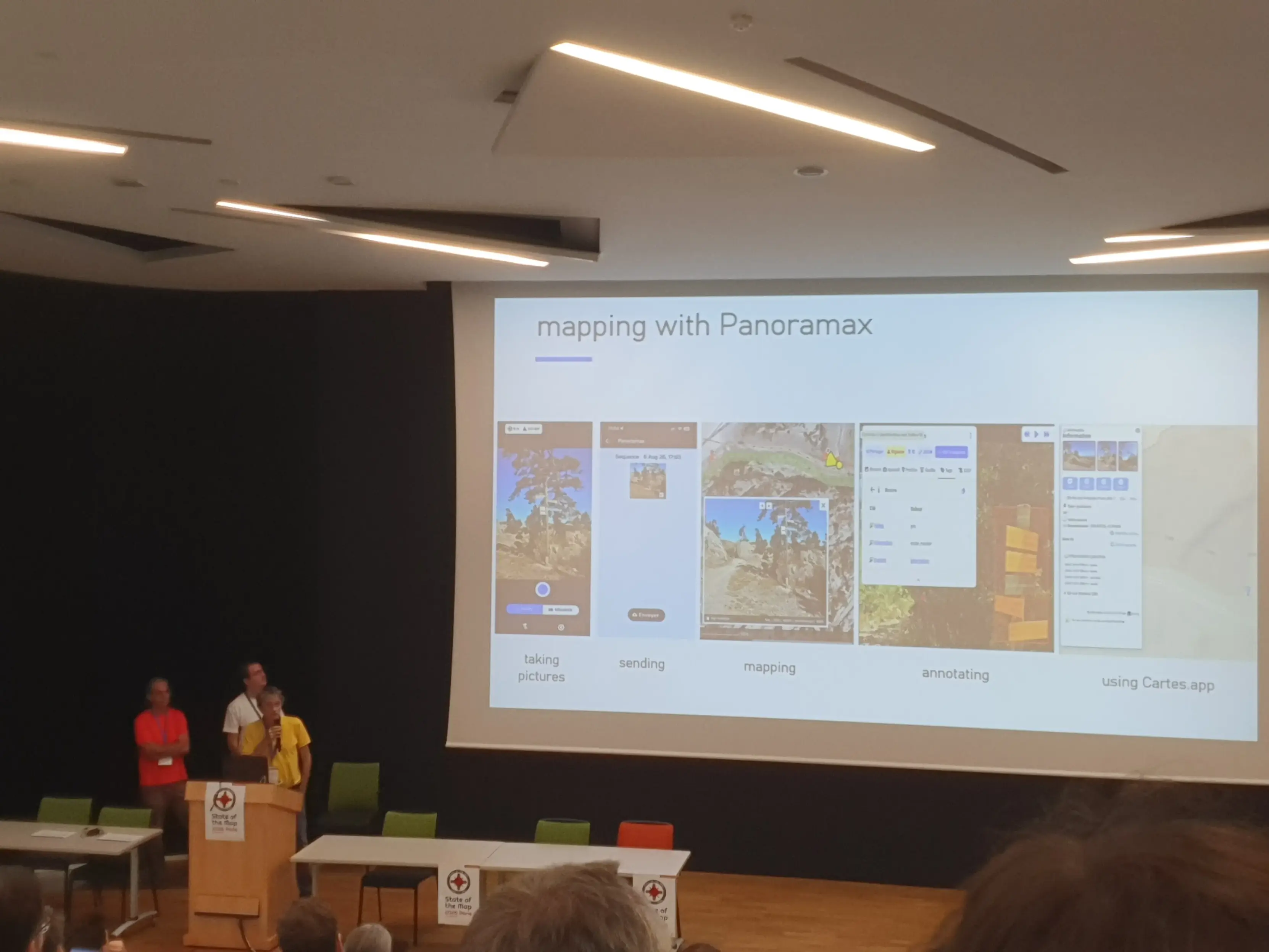
@panoramax.bsky.social is key for outdoor mapping ! A fondamental tool, of course integrated in https://cartes.app.
Soon you'll be able to upload new pictures to Panoramax directly from Cartes.
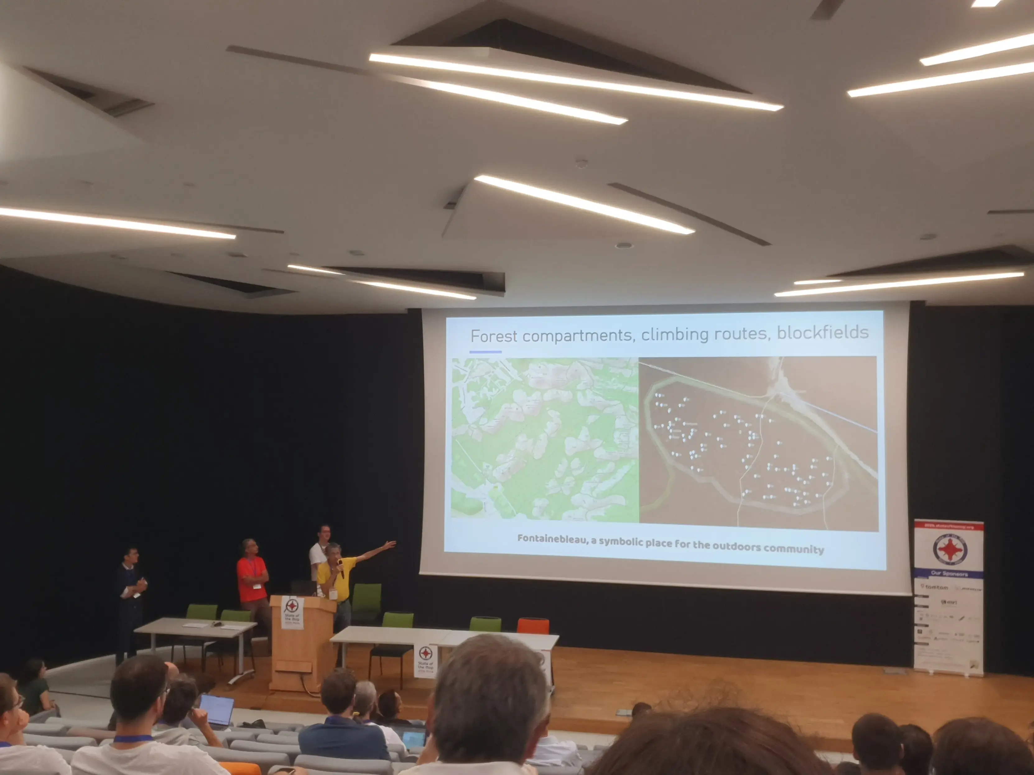
The outdoor team also works on climing and bouldering routes.
Here in Fontainebleau, that was burnt because of global change (due to fossil use).
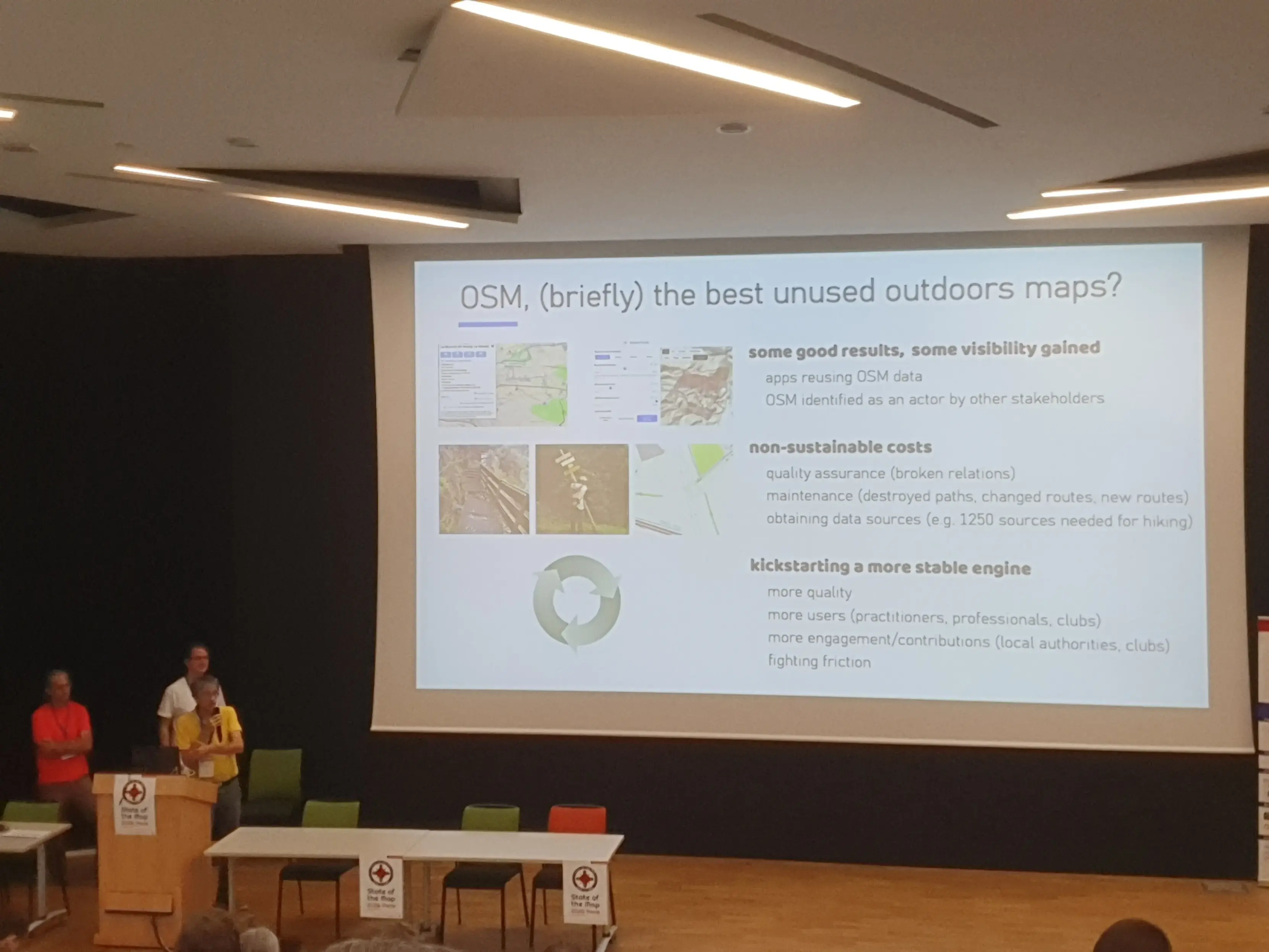
It's extremely important to make OSM's outdoors *used* widely by the professionnals, the autorhorities.
Some ways need to be deleted.
Friction needs to be reduced.
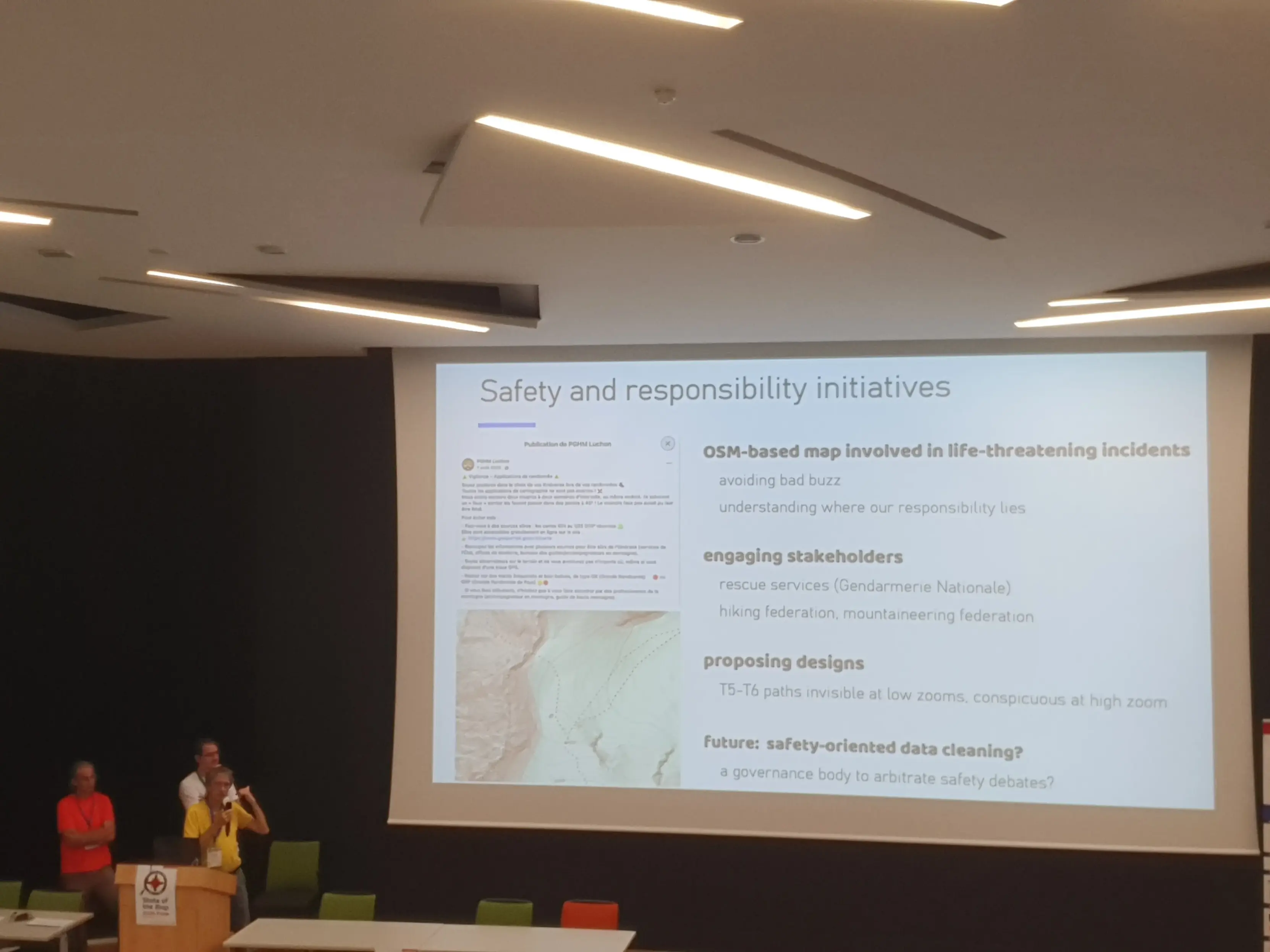
Dangerous routes do exist. Something needs to be done.
The group is active on this subject, discussing with the authorities and french hiking federation.

Install bonfire.cafe
Get the full app experience