Discussion
Loading...

Post

Log in
  • About
  • Code of conduct
  • Privacy
  • Users
  • Instances
  • About Bonfire
Seasons of Jason 馃帓
@killyourfm@layer8.space  路  activity timestamp 4 weeks ago

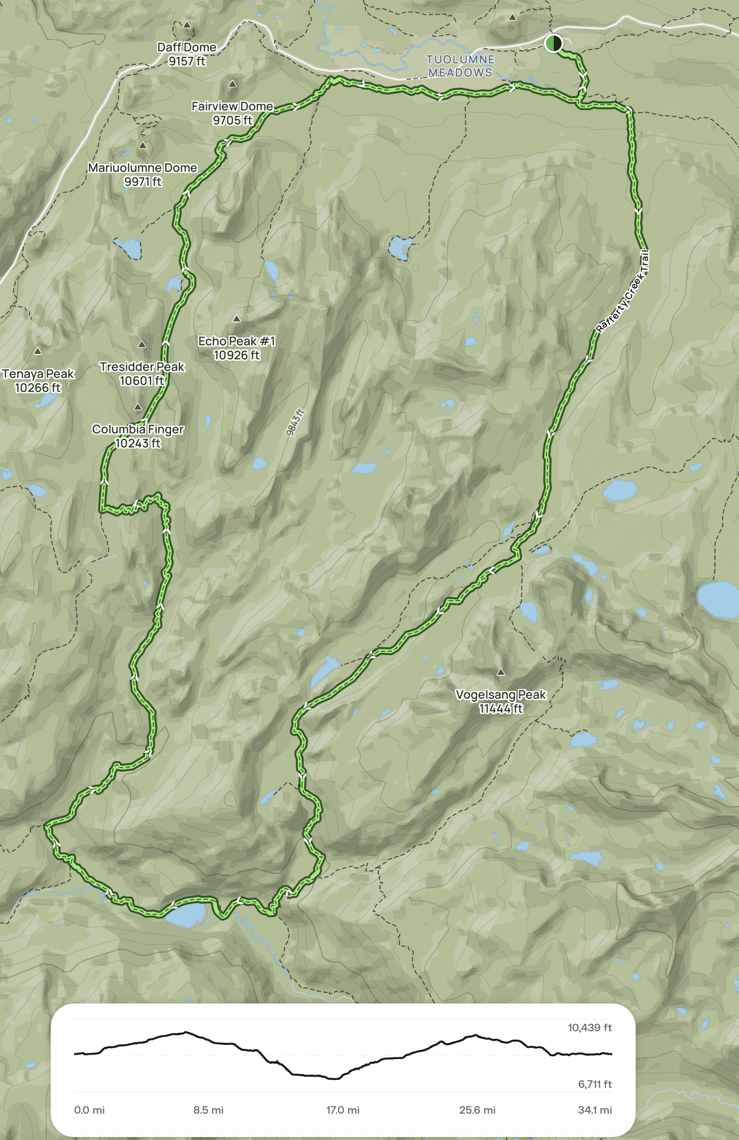
I think this is my next #backpacking trip! Yosemite high country with alpine lakes, granite passes, and a mixture of High Sierra backpacker's camps and wilderness camping.

And the midpoint would be Merced Lake, which was my destination for my first backpacking adventure last year. Time to make it happen!

Topographic hiking trail map showing a 34.1-mile loop with elevation profile, passing landmarks like Tuolumne Meadows, Fairview Dome, Tresidder Peak, and Vogelsang Peak with elevations marked.
  • Copy link
  • Flag this post
  • Block
Log in

bonfire.cafe

A space for Bonfire maintainers and contributors to communicate

bonfire.cafe: About 路 Code of conduct 路 Privacy 路 Users 路 Instances
Bonfire social 路 1.0.0-rc.2.11 no JS en
Automatic federation enabled
  • Explore
  • About
  • Members
  • Code of Conduct