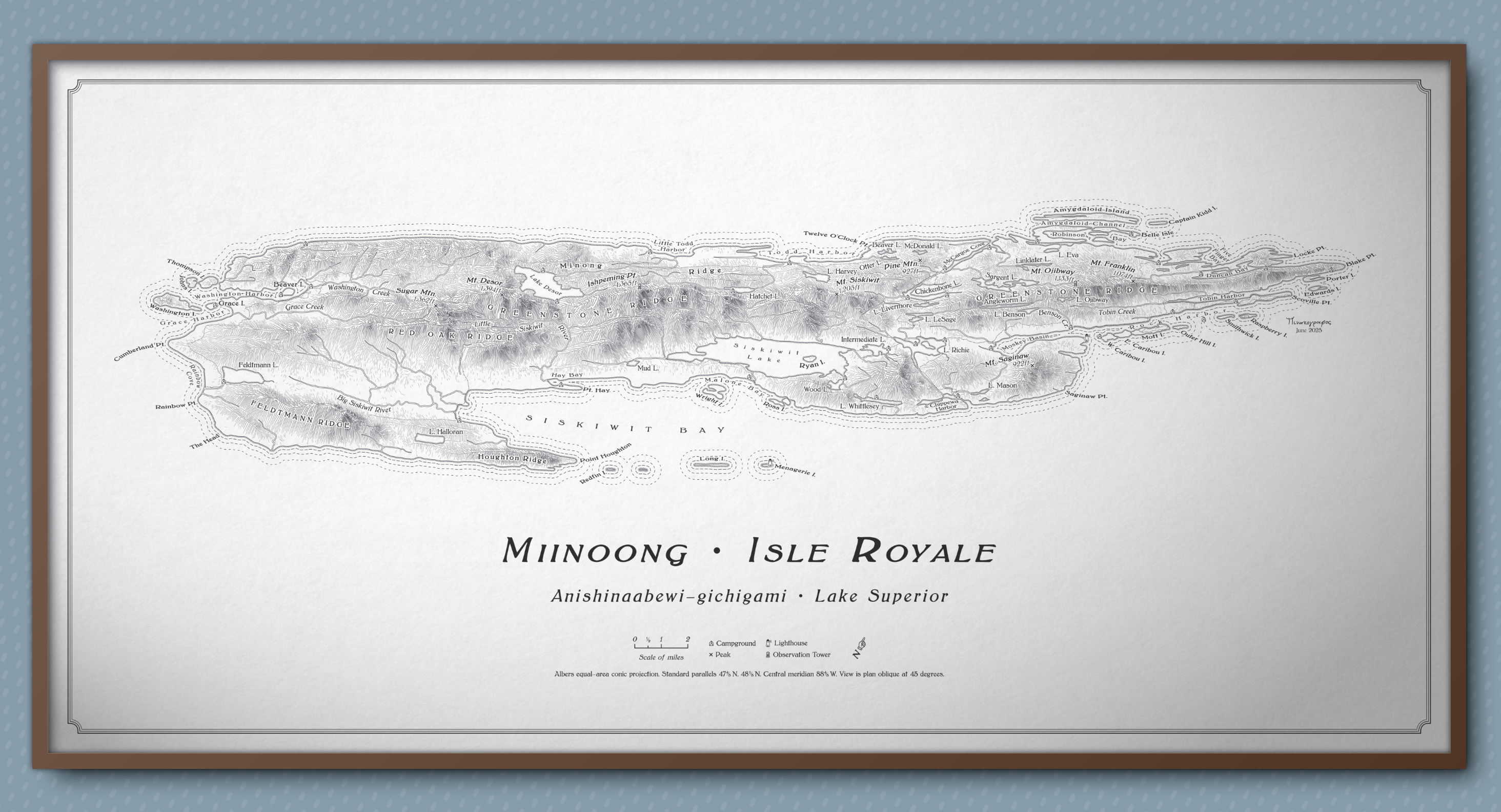
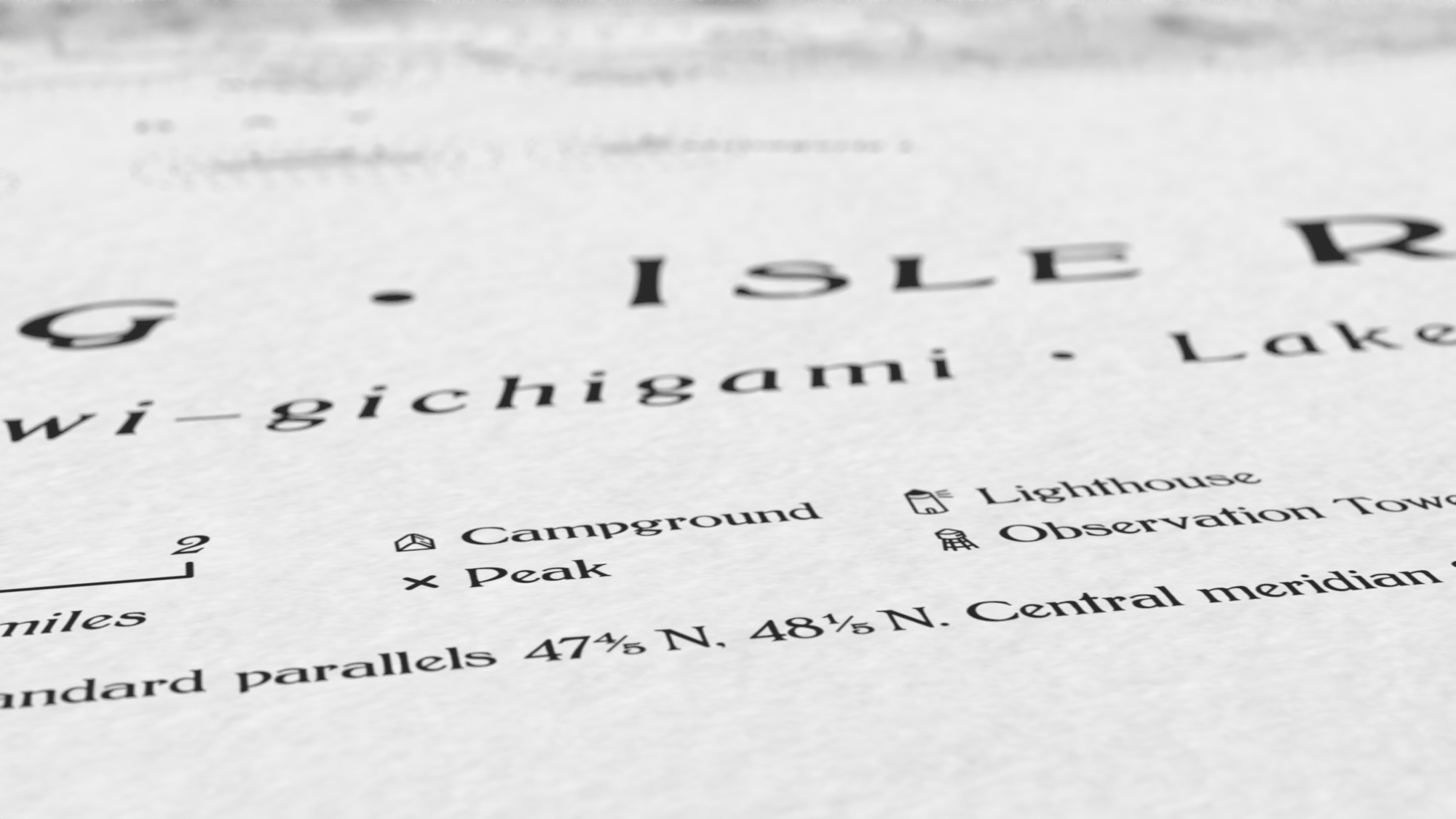
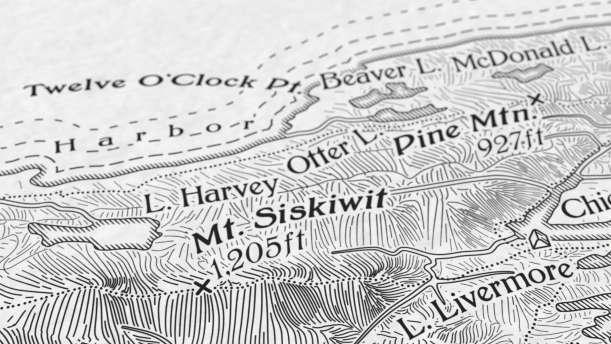
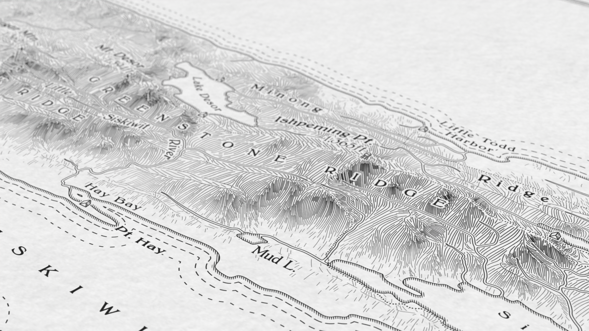
Just wrapped up my latest side project: my first ever map of a #NationalPark. I illustrated #IsleRoyale, which sits in #LakeSuperior, in the semiautomated hachure style I've been developing this last year. More details, and a download, on the blog: https://somethingaboutmaps.wordpress.com/2025/07/28/a-sketch-of-isle-royale/

Another detail of the map, showing the hachures that illustrate the terrain, as well as some of the terrain labels around Greenstone Ridge.

Another detail image, showing Mt. Siskiwit and the terrain in the area.

A detail of the image, showing some of the icons in the legend and details about the projection.

A mockup of a framed image of the map. It is titled "Miinoong • Isle Royale" and has a 2:1 aspect ratio. The map is on off-white paper, and all contents are in solid black.