There's been talk on the Fedi about why online maps like OSM and Google use the Mercator projection, and I think it needs a bit of clarification. (Do NOT snitch tag.)

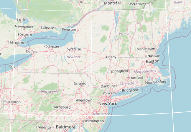
Online maps are mostly used at small scales, of a district or a city. At these scales, the earth is approximately flat, so users expect a map that is conformal, one that preserves angles and shapes.

Online maps are continuously zoomable from continents down to your house. They usually aren't rendered on your browser straight from vectors, but are batch-rendered offline into square tile images. If you're on a slowish Internet connection, you can see them loading individually.

As you zoom an online map, tiles get replaced with higher-resolution ones, and as you scroll, tiles get filled in to fill the gaps. You could theoretically scroll and zoom forever, so the map needs to not have a magically special reference latitude or longitude. These constrains mean that the map needs to be equatorial, so that no point gets special treatment, and cylindrical, so that meridians are vertical and lines of latitude are horizontal.

And which is the map projection that is all of equatorial, cylindrical and conformal? Mercator!

#Maps#Cartography #OpenStreetMap

@futzle

KDE Marble has a neat feature where as you zoom out you can see the globe start to curve, and if you go out far enough you can see the globe, but when zoomed into human moving around a city scale it certainly looks like squares.

https://marble.kde.org/index.php

I haven't seen many other map programs do that and some times it's a useful feature.

Mercator's world map of 1569 was useful to navigators at the time because it is conformal (preserving angles) even over long distances. You could draw a line between source and destination, read off the constant bearing, and point your ship in that direction for days or weeks, and you'd arrive at your destination. This line is called a "rhumb line", or (and I love this word) a "loxodrome".

Rhumb lines are absolutely not the shortest route between two points. That would be a great circle route, but computing a great circle requires spherical trigonometry, which is something that navigators were loath to mess with (as your bearing changes over the course of traversing a great circle, so it requires constant attention). Great circles have certainly been used by navigators for a long time, particularly in aviation where carrying your fuel is a factor. Now of course, ubiquitous computing and GPS makes great circles easy, and rhumb lines are just a historical curiosity.

But because of the properties of Mercator being coincidentally convenient for online maps, we find ourselves back in the 16th Century with a default projection that is frankly bad at large scales.

#Maps#Cartography